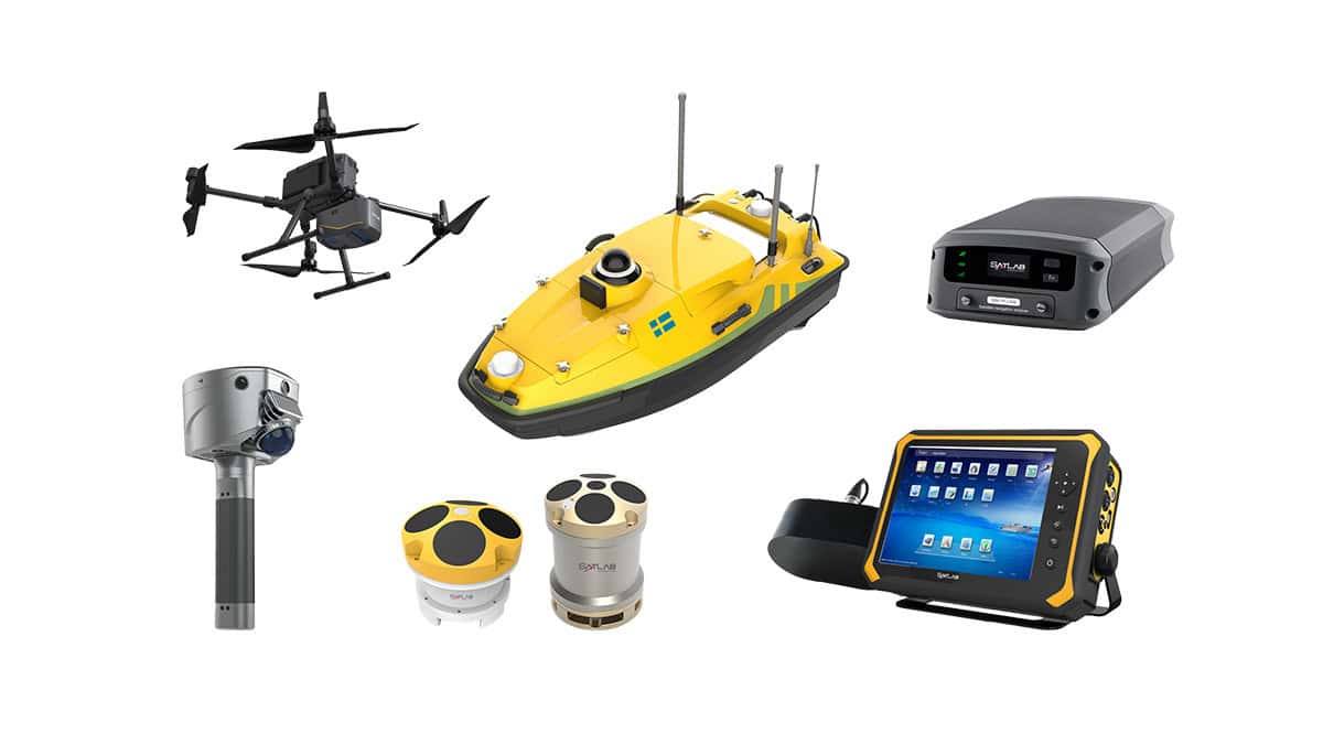
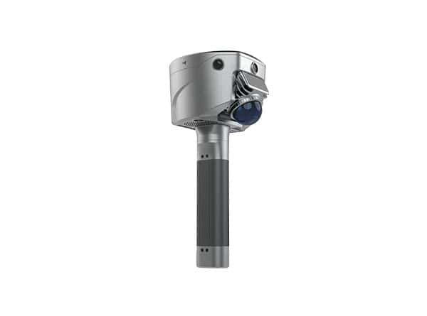
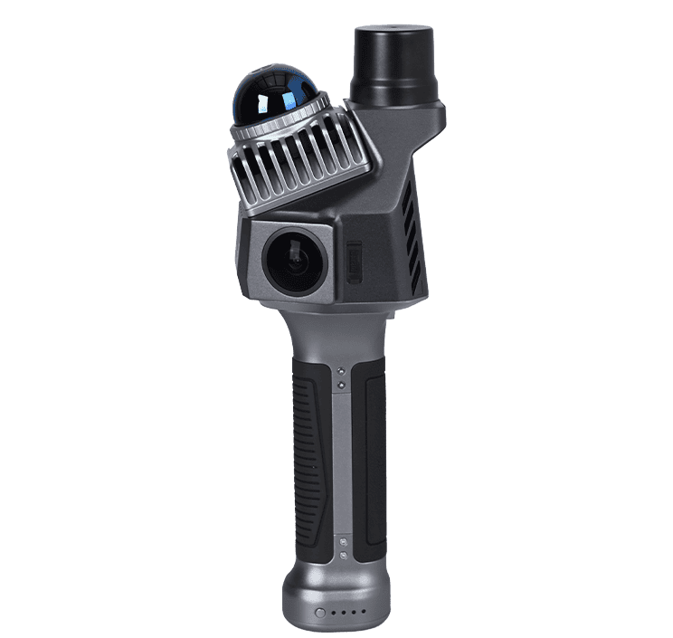
SatLab Geosolutions delves into the advanced capabilities of the latest addition to its Apus series, the Apus-MX UAV LiDAR, a precision UAV surveying system.
The Apus-MX UAV utilizes a long-range LiDAR scanner with an advanced IMU and an industrial grade RGB orthographic camera in order to provide a portable and rapidly deployable solution. This comprehensive upgrade is expected to deliver ultimate precision and efficiency in aerial surveying.
The versatile scanning system has the ability to navigate complex terrains and urban environments with varied structural heights, and is also able to glide through thick vegetation, making it the ideal choice for creating digital elevation models (DEM) and digital surface models (DSM).
This ultra-portable system features an advanced IMU, a long-range laser scanner, and an industrial-grade RGB orthographic camera for unparalleled accuracy.
With an 80° FOV and a maximum 1200m measurement range, the Apus-MX has the ability to be flown at higher altitudes to increase efficiency and ensure comprehensive coverage. This allows for scanning more expansive areas in fewer flights, reducing operational costs due to shorter flight times, and reliability with superior obstacle detection in hard-to-reach locations or hazardous areas.
The Apus-MX is also equipped with a 45 MP orthographic RGB camera, generating high-resolution images and high-quality color point clouds, ideal for efficient 3D model reconstruction and digital ortho mosaics.