Inspired Flight explains that in contemporary precision agriculture, obtaining timely and accurate data is vital for ensuring crop health and optimizing resource use.
Multispectral imaging combined with advanced analytics equips farmers with valuable insights into crop conditions that are challenging to discern through traditional methods.
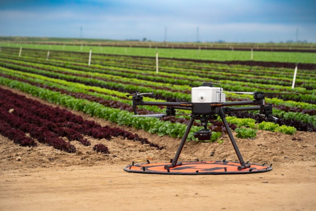
This white paper presents findings from a drone flight mission conducted over an agricultural field of baby lettuce, employing the Sentera 6X multispectral sensor onboard a IF800 Tomcat to evaluate chlorophyll content and overall plant health.
The flight spanned 8.47 acres and lasted slightly more than 7 minutes, providing actionable insights to refine crop management strategies.
Field Mission Details
• Location: Babe Farms, Santa Maria, CA
• Crop: Baby lettuce
• Area covered: 8.47 acres
• Flight duration: 7 minutes and 12 seconds
• Equipment used: Sentera 6X multispectral sensor mounted on the IF800 Tomcat
This mission aimed to gather data during the early growth stages of the lettuce crop. Leveraging multispectral imaging with a focus on the Chlorophyll Index Green (CIG) enabled a comprehensive assessment of the crop’s health, offering insights into chlorophyll content, nitrogen levels, and early indications of stress.

Orthomosaic of the surveyed field of baby lettuce

Closeup view captured by the 20 MP RGB camera on the 6X Multispectral, revealing clear visual detail across crop rows. This high-resolution image enables farmers to detect subtle variations and spot areas with gaps or irregular growth that might be missed during traditional scouting due to the field’s large scale.
Using the RGB imagery from the 6X multispectral sensor, users gain an aerial view that simplifies identifying issues such as plant gaps, uneven crop growth, and other potential concerns across vast fields. This functionality allows for more precise field management and timely responses to challenges that may be harder to detect from ground level.
Understanding the Chlorophyll Index Green (CIG)
The Chlorophyll Index Green (CIG) is a crucial metric in multispectral imaging, comparing the near-infrared and green light bands to deliver insights into chlorophyll levels within plants. Chlorophyll is essential for photosynthesis, and its concentration indicates a plant’s capacity to generate energy and grow. The CIG is particularly effective for early-stage crops, where green reflectance serves as a more sensitive indicator of chlorophyll content.
Key Benefits of CIG Data:
- Chlorophyll sensitivity: During early growth stages, CIG is highly responsive to variations in chlorophyll, providing real-time insights into how well plants are photosynthesizing and thriving.
- Nitrogen monitoring: As chlorophyll levels directly correlate with nitrogen content in plants, CIG data facilitates detecting nitrogen deficiencies. This allows for precise adjustments to fertilization strategies, avoiding under- or over-fertilization.
- Water stress and disease detection: Chlorophyll content is also affected by water availability and environmental stress. Low CIG values may indicate water stress, pest issues, or disease, prompting early corrective measures.
CIG heat map indicating plant health
NDVI: Evaluating Crop Health
The Normalized Difference Vegetation Index (NDVI) is a robust tool for evaluating plant health across agricultural fields. NDVI measures the difference between reflected near-infrared light and absorbed red light. When plants reflect more near-infrared light than red light, it signifies healthier vegetation, resulting in higher NDVI values.

NDVI Crop health
During the mission over Babe Farms, spanning 8.47 acres, the NDVI data showed nearly all plants in the field were healthy. Beyond assessing plant health, NDVI can estimate the area of healthy biomass. This is achieved by refining the NDVI histogram’s binning to 1 and adjusting the displayed NDVI value range from 0 to 1, effectively isolating the vegetation. The area can then be summed to determine the biomass-covered region.

Using NDVI to quantify healthy vegetation
In this dataset, the biomass analysis revealed that 5.72 acres were populated with vegetation displaying an NDVI value of 0 or higher. These findings demonstrated robust overall plant health in the region, along with the harvestable biomass, emphasizing the effectiveness of the monitoring efforts.
The NDVI scale quantifies vegetation health based on reflectance data captured by the Sentera 6X multispectral sensor. Higher NDVI values correspond to denser, healthier vegetation, making it a vital metric in precision agriculture. This information helps farmers make well-informed decisions regarding resource allocation, pest control, and fertilization, optimizing yields and promoting sustainability.
Data Analysis & Results
Flight Data Summary
High-resolution multispectral imagery captured during the flight was processed to create a CIG index map, which was overlaid on the RGB mosaic of the field. The analysis provided a clear understanding of crop health across the entire 8.47 acres.
Chlorophyll Distribution:
• High CIG values: Represented areas of healthy lettuce, with strong chlorophyll content signaling optimal growth conditions. These areas demonstrated robust nitrogen uptake and efficient photosynthesis.
• Low CIG values: Highlighted regions where plants were under stress due to factors such as nutrient deficiency, water stress, or possible disease. These areas required further inspection and targeted intervention.
The integration of multispectral imagery with the RGB mosaic revealed patterns of variability within the field, distinguishing thriving sections from stressed areas. This data proved invaluable for guiding decisions regarding resource allocation, such as fertilizer or water application, and identifying regions needing pest or disease management.
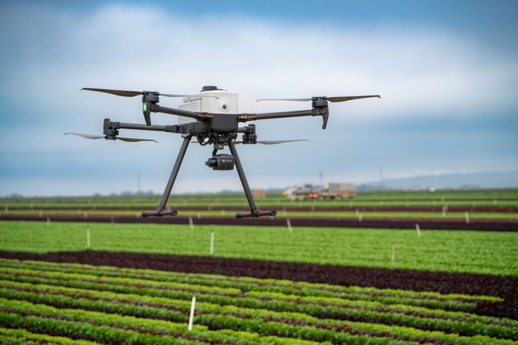

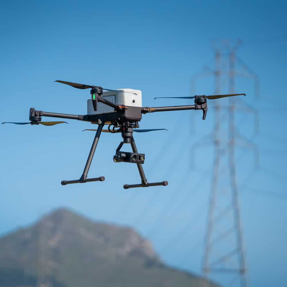
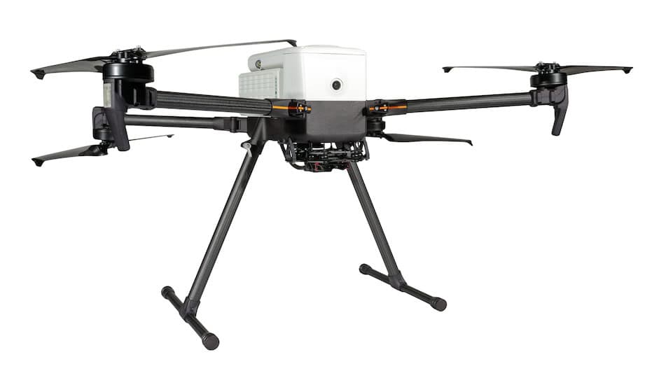
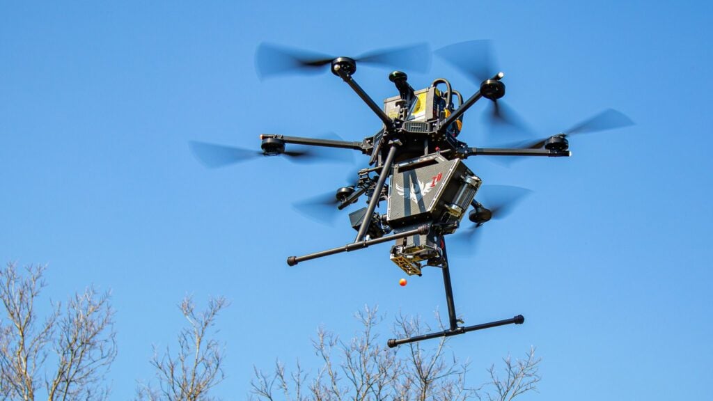
Advantages of the IF800 Tomcat for the Sentera 6X Multispectral Sensor
The IF800 Tomcat is a reliable drone platform well-suited for demanding professional applications, making it an excellent choice for deploying the Sentera 6X multispectral sensor. Its lightweight yet durable design ensures superior flight stability and adaptability for diverse agricultural missions.
Key Advantages of the IF800 for Multispectral Imaging:
• High-speed capability: With speeds up to 10 meters per second, the IF800 swiftly covers large areas. The Sentera 6X multispectral’s global shutter eliminates motion blur, ensuring sharp data capture even during fast flights.
• Payload capacity: Built to carry substantial payloads, the IF800 supports the Sentera 6X sensor while achieving flight durations exceeding 40 minutes. This versatility accommodates various precision agriculture applications.
• Efficient data collection: Combining the IF800 with the Sentera 6X enables rapid, high-resolution multispectral data collection, ensuring time-efficient missions and reduced operational costs.
The seamless integration of the IF800 Tomcat and the Sentera 6X multispectral sensor delivers the speed, dependability, and payload capacity essential for successful agricultural missions. This powerful combination empowers operators to gather high-quality, actionable insights that significantly enhance crop management practices.
Applications in Precision Agriculture
The data gathered from this mission illustrates how multispectral imaging is an invaluable asset in precision agriculture. By enabling early detection of potential issues and offering real-time crop health insights, the Sentera 6X multispectral sensor supports farmers in making informed, data-driven decisions.
Key applications:
- Targeted fertilization: With CIG data indicating nitrogen levels, farmers can apply fertilizers precisely where needed, cutting costs and reducing environmental impact.
- Irrigation management: Identifying water-stressed areas helps optimize irrigation schedules, ensuring water is delivered efficiently.
- Early pest and disease detection: Low chlorophyll areas can signal early pest or disease issues, allowing for swift interventions before widespread damage occurs.
Conclusion
The successful 7-minute flight mission over 8.47 acres of baby lettuce at Babe Farms highlights the importance of multispectral imaging in contemporary agriculture. The Sentera 6X multispectral sensor delivered detailed crop health insights using the Chlorophyll Index Green, enabling early issue detection and supporting precise, effective crop management.
Leveraging this data empowers farmers to enhance productivity, lower input costs, and reduce environmental impact, ultimately boosting yields and sustainability.
In the competitive agricultural sector, incorporating multispectral drone data into regular crop monitoring processes ensures that farmers can proactively address potential challenges, optimizing resources and maximizing returns on investment.