Inspired Flight explains that recent advancements in uncrewed aerial vehicles (UAVs) have greatly enhanced the speed and accuracy of data collection for various applications.
One important application is ground topography analysis, which is vital for fields such as agriculture, urban planning, and environmental monitoring.
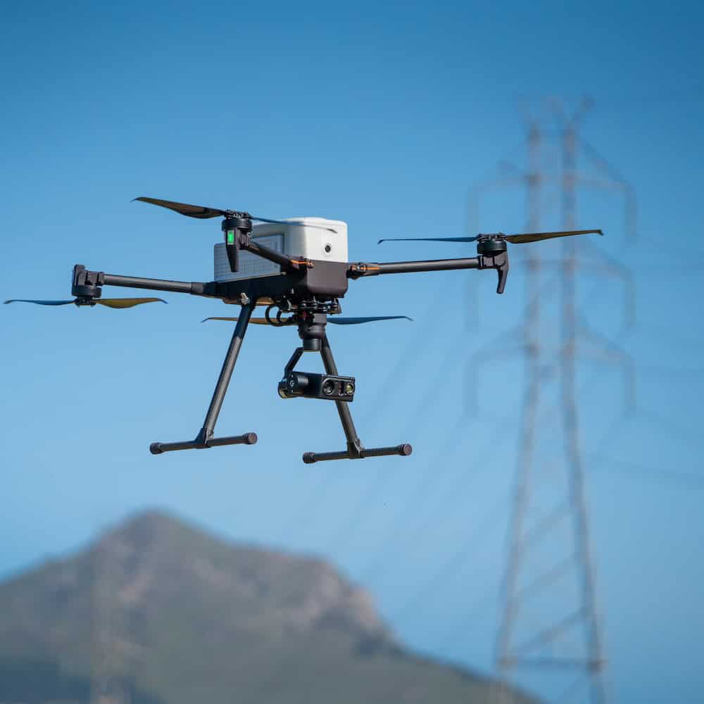
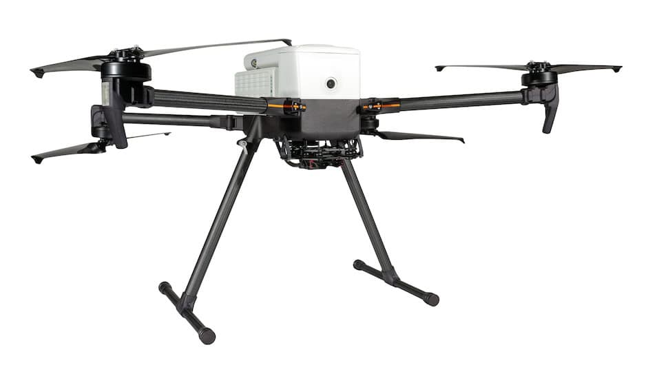
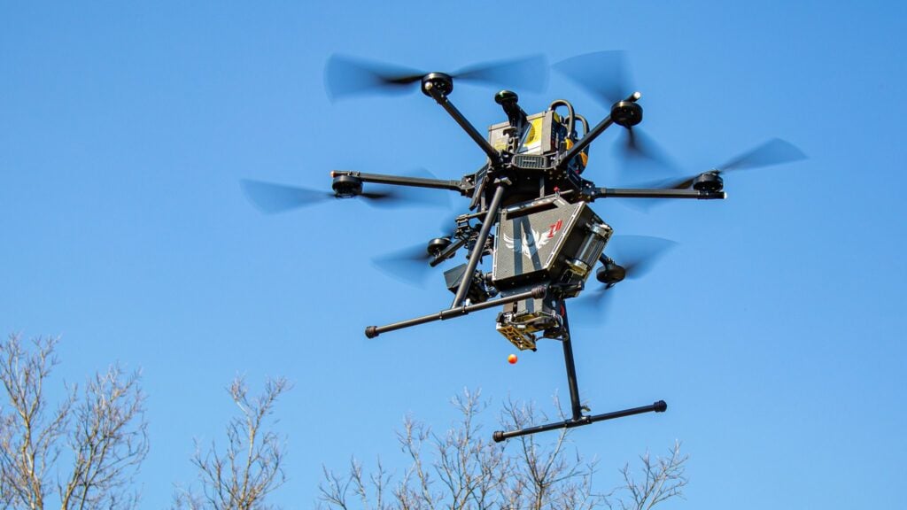
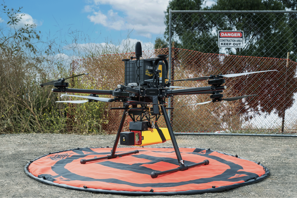
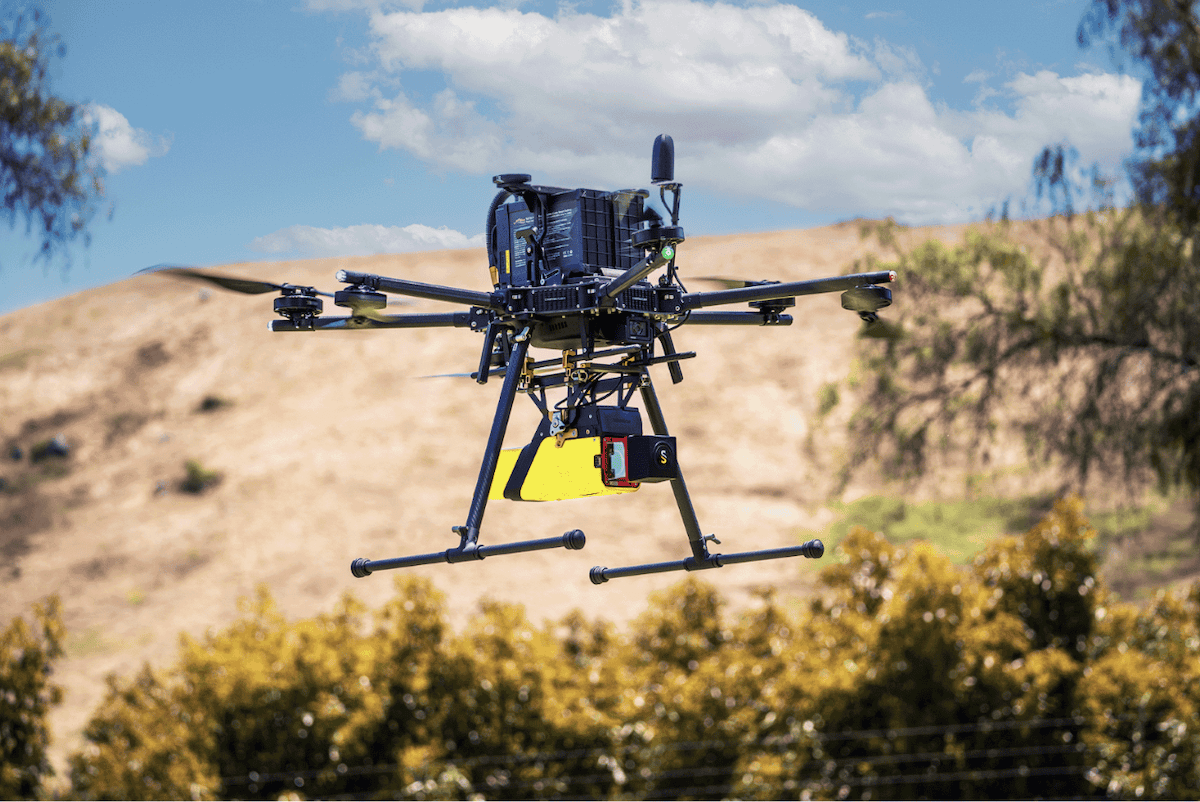
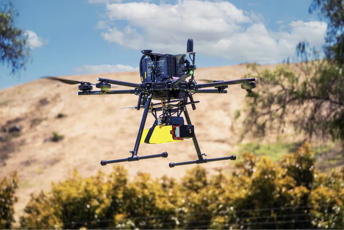
This case study illustrates the effective integration of the YellowScan Vx20-300 sensor with the IF1200A UAV, demonstrating its capability to collect detailed ground topography data for a specific area.
Mission Challenge
Accurate ground topography data is crucial for understanding terrain variations, water flow, and landscape features. Traditional ground survey methods can be slow and may not effectively cover large or difficult-to-reach areas.
The objective was to obtain high-resolution ground topography data quickly and accurately to support efficient decision-making for various applications.
Acquisition
The Vx20-300 LiDAR system was mounted on the IF1200A UAV for data collection. The UAV was set to fly at a speed of 5 m/s and an altitude of 85 m, allowing it to survey a 45,000 m² area within 10 minutes.
Mission Parameters
- Flight Speed: 5 m/s
- Flight Altitude: 85 m
- Flight Duration: 10 minutes
- Survey Area: 45,000 m²
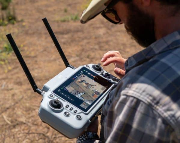
- Data Collection Process – Involved collecting raw LiDAR data, which was then processed to refine trajectories, generate point clouds, adjust strips, and classify ground features.
Learn more about the IF1200A UAV >>
Results
The mission achieved the following outcomes:
Efficient Data Collection
The entire process, from initial data capture to final ground classification, was completed in under 30 minutes, thanks to the effectiveness of the IF1200A and YellowScan systems.

The Vx20-300 sensor provided accurate data by penetrating vegetation and enabling the creation of reliable Digital Terrain Models (DTMs), Digital Surface Models (DSMs), and Digital Height Models (DHMs).
Effective Data Processing
The collected data was processed efficiently using rapid ground classification techniques, resulting in useful models for analysis.
Applicable Results
The ground topography data was valuable for potential applications, including urban planning, hydrological modeling, and landscape assessment.
The use of the YellowScan Vx20-300 LiDAR solution on the IF1200A UAV demonstrated the effectiveness of modern UAV technology in acquiring accurate and rapid ground topography data.
The combination of quick data acquisition, advanced sensor capabilities, and efficient processing techniques highlights the potential for UAVs to enhance traditional surveying methods across various industries.
The IF1200A’s ability to cover extensive areas with minimal downtime, coupled with the YellowScan CloudStation software’s capability to integrate multiple flight plans and process data efficiently, supports a streamlined workflow that allows users to quickly analyze and interpret accurate models.
Casey Viera, Inspired Flight Operations Fleet Manager, commented, “The YellowScan CloudStation software they provided was very intuitive to use and made post-processing the data a breeze to get maximum value out of the point cloud models.”