Voyis endeavors to produce underwater imagery where the effects of the water medium are entirely removed – to ‘See the Depths like We See the Surface’. This will enable the use of standard terrestrial processing algorithms like photogrammetry and machine learning.
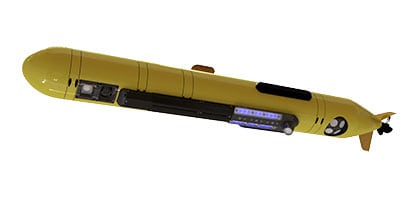
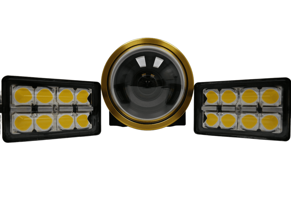
Ocean surveyors have historically relied on subsea video cameras deployed in underwater vehicles for environmental monitoring, general inspection, and underwater situational awareness. But the operating mechanism of “video” can significantly limit the ability of advanced image processing and machine vision. Conversely, stills imaging when used correctly, can provide revolutionary advantages.
In this fourth part of the ‘Color Imaging Series’ Voyis focuses on data processing software, the ViewLS Data Module, and how it can improve underwater surveying workflow and results.

ViewLS Data Module
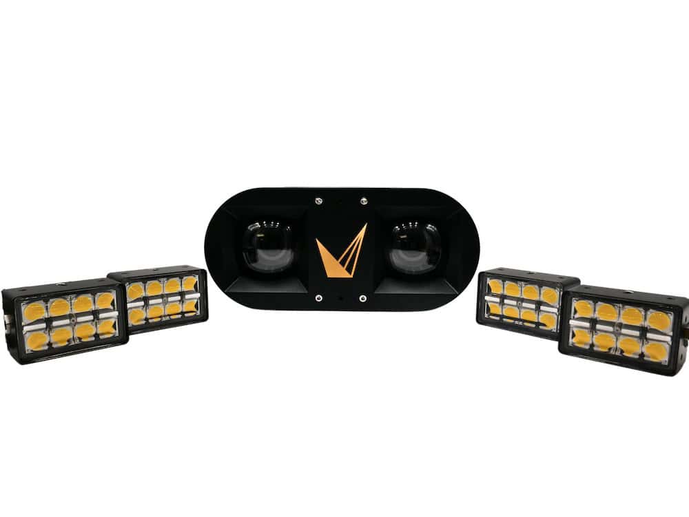
The ViewLS Data Module is an add-on option to our standard ViewLS software. It provides the complete set of data processing tools needed for processing and enhancing laser and stills data for effective analysis without the need of complex survey software. The core features include:
- Image Undistortion – Correct raw images for water and lens distortions
- Image Light Leveling – Balances lighting across the imaging field-of-view
- Image Color Correction –
- Time Segment Extraction – Extract laser and image data within certain time segments
- Location-based Target File Extraction – Extract laser and image data within a radius of a GPS locations into folders. Supports sonar target files for MCM applications
While all Voyis products execute these data enhancement features in real-time onboard the products, users often want additional fine control is post-processing further to optimize the imaging datasets. The common data workflows in ViewLS include:
- Efficiently tag industry standard navigational data to stills image data to create improved and geo-referenced photogrammetric models
- Enhance stills images to correct for water distortion and balance illumination using several algorithms for different applications.
- Machine learning color correction to deliver true color underwater images, specifically correction model training and user refinement of colors
- User specified color refinements: True Color or Enhanced Color options, as well as manual adjustments optional for contrast, brightness, and color channels
- Data download from onboard storage using time or location-based target extraction to efficiently access targets of interest from large datasets
User guide for ViewLS software – how to process raw data for photogrammetry
Machine Learning Colour Correction “Training”
The Advanced stills image enhancement mode uses a machine learning based image correction capable of processing both color and monochrome images. To process images in real-time with this mode, a Voyis “Correction Model” file must be generated offline in the ViewLS Data Module and then loaded for real-time use.
This feature accepts large input datasets of captured color images and analyzes them to create a Correction Model file that is specific to the camera parameters and lighting conditions. This file accurately models the system’s physical parameters (light distribution and optics), as well as the environmental and survey parameters (light absorption coefficients, vehicle altitude, camera exposure, etc.). Though the output is a generalized model applicable to any survey, for optimal results it should be used in surveys with similar parameters.
Whenever a model is loaded for real-time use, it will also be saved to the system’s onboard storage which can store up to 5 models in common use. Images are efficiently processed and compressed with the computer’s graphics processing unit (GPU) to automatically deliver true color correction on large datasets without any user input. Sequential images have highly consistent brightness and color to enable perfect image mosaics and photogrammetry. Colors have been validated against known color charts to verify color reproduction.