If you design, build or supply LiDAR for Autonomous Vehicles, create a profile to showcase your capabilities and connect with visitors who have an active requirement for your solutions.
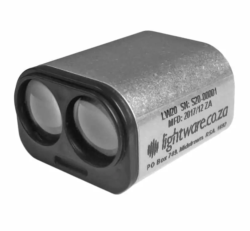
LW20/C microLiDAR by LightWare for drones, self-driving cars and robotic platforms
ADAS (Advanced Driver Assist System) LiDAR is one of the leading technologies currently being utilized in the development of autonomous vehicles and self-driving cars. Autonomous drones, robots and vehicles can utilize LiDAR (Light Detection And Ranging) for navigation, obstacle detection and collision avoidance.
MEMS LiDAR for Remote Sensing
MEMS (micro-electromechanical system) LiDAR technologies are currently being developed for use in autonomous driving as well as unmanned systems such as UGVs (unmanned ground vehicles) and UAVs (unmanned aerial vehicles). These use tiny MEMS mirrors, etched onto silicon wafers, to accurately deflect the laser beam. The MEMS mirror arrays can be used to replace traditional beam deflection units, which are usually spinning devices that are mechanically complex and prone to friction and wear.
How does Doppler LiDAR work?
Doppler LiDAR uses the frequency shift of moving objects (caused by the Doppler effect) to directly measure velocity. The reflected backscatter signal is recorded and mixed with a reference laser beam of known frequency. The frequency shift of the mixed signal is used to calculate the velocity.
What is the difference between LiDAR and radar?
Both LiDAR and radar make measurements using reflected pulses. LiDAR uses laser signals, whereas radar uses radio waves.
Using LiDAR for Navigation
LiDAR for robotic navigation provides crucial distance measurement information relating to surroundings and the vehicle’s position in relation to objects. Scanning LiDAR can provide a 360 degree sweep of the vehicle’s surroundings, presenting a two dimensional ‘view’ of the vehicle’s position in order to be able to navigate a clear course to its destination.
YellowScan recently hosted its sixth LiDAR Convention in Aix-en-Provence, bringing together a global audience of surveyors, engineers, researchers, drone manufacturers, and industry partners
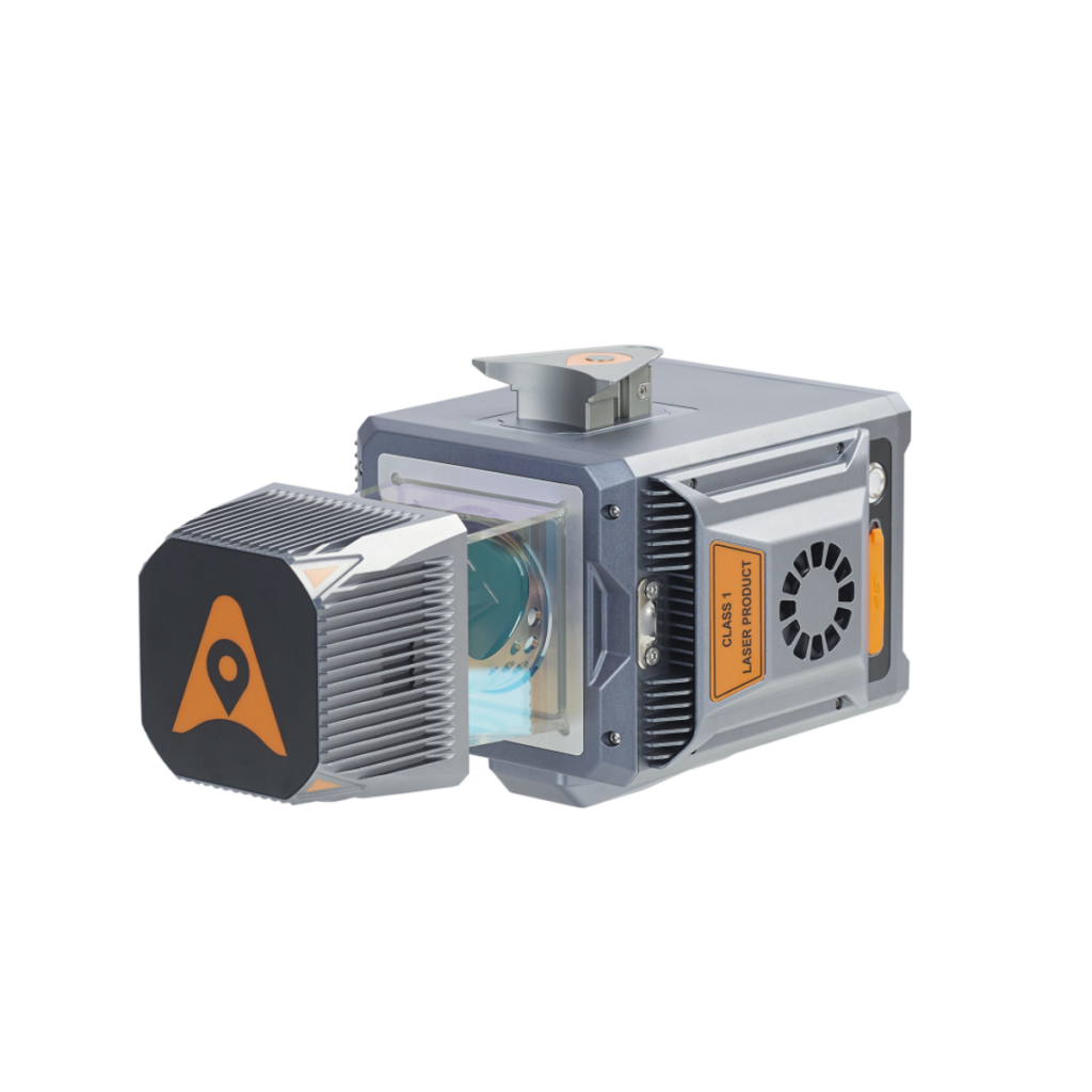
Sony Electronics' new miniature LiDAR depth sensor weighs just 46 grams, offering high-precision long-distance measurement and seamless integration for space-constrained applications
Next-generation Aeva Omni 4D LiDAR, developed with LG Innotek, delivers wide-view short-range perception using FMCW technology to enable physical AI applications across autonomous vehicles, robotics, drones, and smart infrastructure
RIEGL unveiled advanced UAV LiDAR solutions at INTERGEO 2025, highlighting precision, compact design, and integrated systems for bathymetry, mapping, and mobile surveying
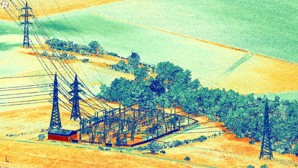
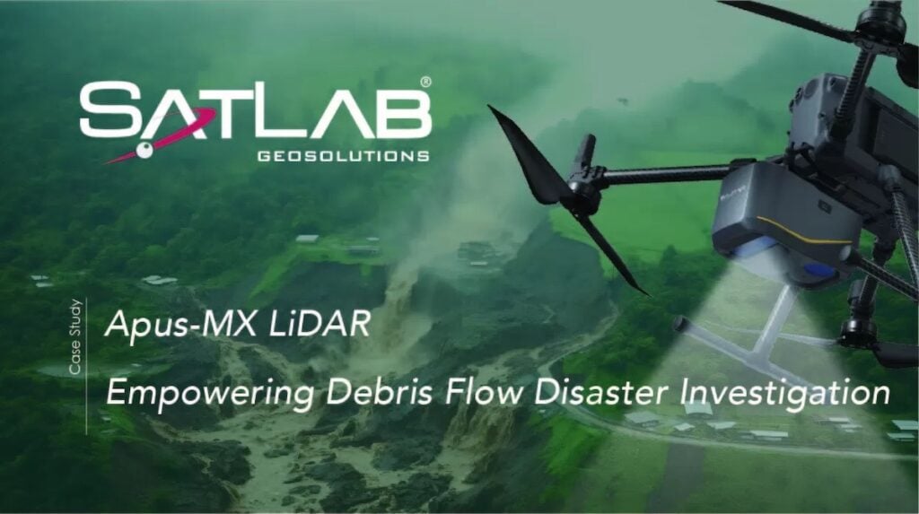
SatLab Geosolutions supported a debris flow investigation in Sichuan, deploying its Apus-MX LiDAR and Sat-LiDAR software to collect accurate terrain data across challenging mountainous terrain
Kraken Robotics subsidiary, 3D at Depth, has achieved a significant accomplishment, successfully completing its 1,000th subsea metrology project for TotalEnergies
RIEGL is set to exhibit its latest UAV-LiDAR solutions at XPONENTIAL Europe 2025, demonstrating advanced surveying technology and its capabilities for diverse mapping applications
SatLab Geosolutions presents a powerful surveying approach combining the Apus UAV LiDAR with the Lixel X1 SLAM scanner to meet the demands of high-resolution, comprehensive topographic mapping
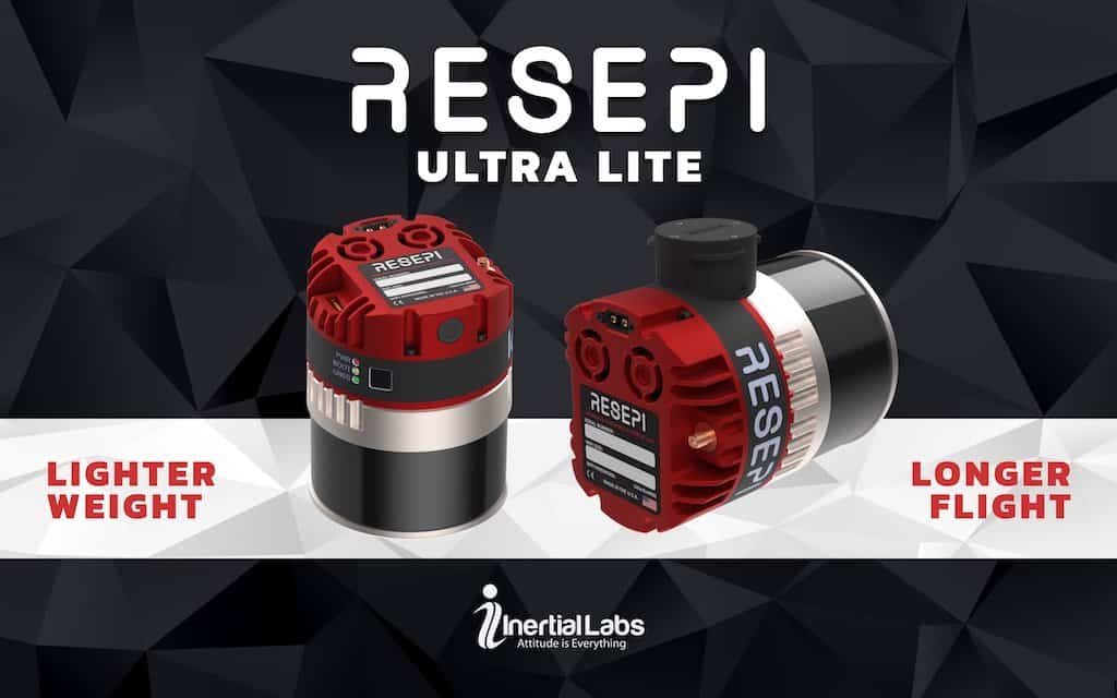
Inertial Labs’ new RESEPI Ultra LITE is the company’s lightest complete payload to feature both LiDAR and camera technology, offering ease of use, precision, and adaptability
Nov 06, 2024
Advancing Unmanned Systems Through Strategic Collaboration
UST works with major OEMs to foster collaboration and increase engagement with SMEs, to accelerate innovation and drive unmanned systems capabilities forward.