


Quadcopter Drones
Discover cutting-edge solutions from 23 leading global suppliers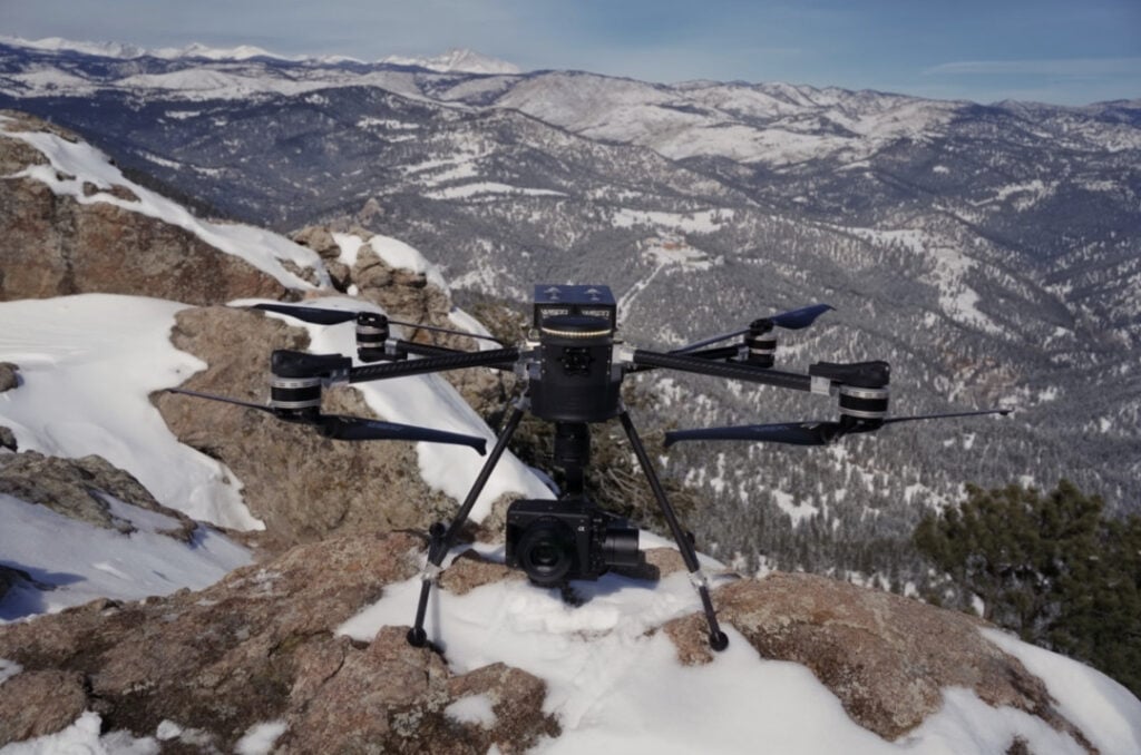
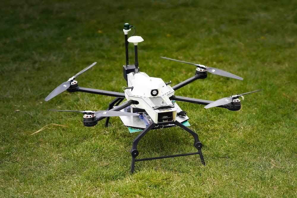
As the field of aerial data collection evolves and industries seek reliable tools to improve efficiency and accuracy, WISPR Systems has developed SkyScout, a drone platform tailored for applications including photogrammetry, LiDAR, mapping, surveying, and inspection. Read more >>
SkyScout is intended for tasks like capturing high-resolution imagery for 3D modeling, conducting land surveys, and inspecting infrastructure, with a focus on delivering precise data and consistent performance.
Photogrammetry: Image Capture for 3D Modeling
Photogrammetry relies on drones that can collect geo-referenced, high-resolution images with clarity suitable for processing. SkyScout offers several features to support this, including camera configurations with mechanical shutters that help reduce image distortion. Its high-precision GPS system ensures accurate geotagging, which is critical for creating reliable models and maps.
In addition, SkyScout’s long flight endurance allows it to cover larger areas within a single mission, and its automated picture geotagging simplifies data handling and integration into existing workflows. These combined features enable surveyors and engineers to produce 3D models, orthomosaic maps, and digital elevation models (DEMs) efficiently while minimizing overlap and processing time.
LiDAR: Terrain Mapping with Detailed Data
LiDAR (Light Detection and Ranging) is a widely used tool for topographic mapping, forestry analysis, and infrastructure planning. SkyScout is built to carry and integrate with LiDAR sensors, supporting the capture of bare-earth terrain data by penetrating vegetation layers. It can generate dense point clouds with fine detail, providing data suitable for precise measurements.
Additionally, SkyScout enables accurate volume calculations, which are particularly useful in applications such as construction or mining. Its stability and payload capacity help ensure that LiDAR systems operate smoothly and reliably, even under less-than-ideal environmental conditions.
Mapping and Surveying: Data Collection for Large Areas
Effective large-area mapping and surveying depend on drones capable of sustained flight and carrying the necessary equipment. SkyScout meets these requirements with automated flight planning that includes terrain-following capabilities, allowing it to adapt to changing landscapes during a mission. Its RTK (Real-Time Kinematic) and PPK (Post-Processing Kinematic) positioning systems provide high-accuracy measurements that support detailed mapping and surveying needs.
Furthermore, SkyScout’s extended flight times enable it to cover more ground in fewer deployments, supporting workflows in site planning, land development, agricultural monitoring, and environmental assessment.
Inspection: Monitoring Infrastructure with High-Resolution Imaging
Infrastructure inspections often need detailed, close-range data, sometimes in areas that are unsafe or difficult for personnel to reach. SkyScout supports:
- Asset inspections of power lines, wind turbines, bridges, and pipelines
- Thermal and multispectral imaging for identifying defects
- Live video streaming for real-time observation
Using drones for these tasks can reduce the need for manual inspections, potentially lowering downtime and improving worker safety in sectors like utilities and telecommunications.
SkyScout Features
SkyScout is designed with the following functional features:
- Modular payload options for varied use cases
- Long flight endurance for extended operations
- Durable construction for field use
- Software integration for data management and processing
SkyScout is a drone platform equipped to handle photogrammetry, LiDAR mapping, and inspection workflows, providing a set of tools for data collection and analysis across different professional environments.
Read the original article >>


