Achieving centimeter-level GNSS accuracy involves choosing the right approach: Real-Time Kinematic (RTK) or Post-Processed Kinematic (PPK). Below, ArduSimple explores the technical distinctions to guide users in selecting the best method for various project requirements.
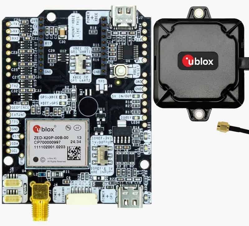
To achieve centimeter-level precision, GNSS systems require two devices: an RTK base station and a rover. The base station remains stationary, providing corrections to the rover for accurate data collection.
RTK offers real-time corrections, ideal for tasks such as agricultural precision or on-site surveying. PPK, on the other hand, processes data offline, making it suitable for remote or complex projects where immediate results aren’t necessary.
Watch the video to delve deeper into RTK and PPK’s technical details and find the ideal solution for your GNSS needs.
Practical Applications
- RTK: Best for real-time navigation or field operations requiring immediate feedback, such as precision planting or machinery steering.
- PPK: Preferred for data collection in remote locations, archaeological mapping, or environments lacking real-time connectivity.
Versatility with Dual-Mode Systems
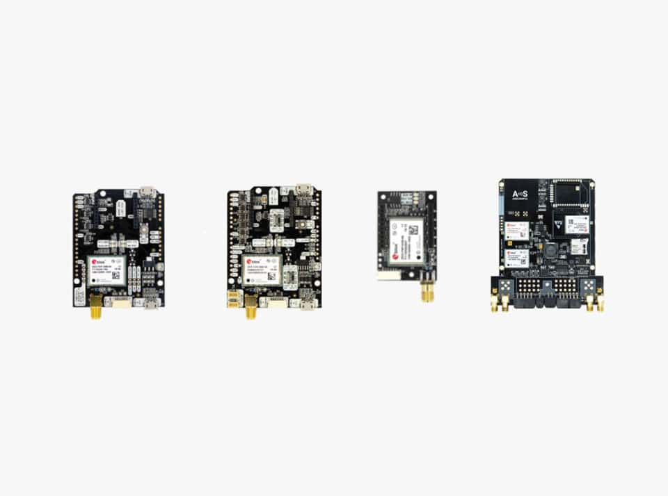
Combining RTK and PPK capabilities in a single system offers flexibility for diverse applications, from drone mapping to property surveying. ArduSimple’s kits support both modes, ensuring adaptability for various project requirements.
For those new to GNSS, RTK is now more accessible than ever, simplifying the process for immediate accuracy.