


GNSS Receivers for Autonomous and Unmanned Platforms
Discover cutting-edge solutions from 9 leading global suppliers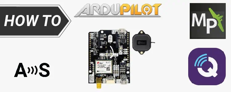
This tutorial from ArduSimple explains how to configure Mission Planner and QGroundControl to send NTRIP RTK corrections to your autopilot.
There are internet-based services that offer correction data from base stations linked to that service. This data is transmitted over the internet using the NTRIP protocol. Software platforms like Mission Planner and QGroundControl can connect to these servers and forward the correction data to the vehicle or drone via a MAVLink connection.
This tutorial will cover how to configure MissionPlanner and QGroundControl to send NTRIP RTK corrections to the autopilot. The steps are the same for simpleRTK2B, simpleRTK2Blite (u-blox ZED-F9P) and simpleRTK3B (Septentrio Mosaic X5) receivers.
Required hardware:
- simpleRTK2B Heading – Basic Starter Kit
- USB to micro-USB cable
- Pixhawk cable set
- Holybro Pixhawk4 (you can use your preferred autopilot)
- a PC or laptop with internet connection
Required software:
- Mission Planner or QGroundControl
- MAVProxy (only in case of QGroundControl)
How to send NTRIP corrections to ArduPilot with MissionPlanner, QGroundControl and MAVProxy?
Follow this ArduSimple tutorial to configure your receiver. If you have a simpleRTK3B Heading, follow this tutorial to configure your receiver.
- Connect the autopilot to your PC using USB cable or radio telemetry link.
- Connect your receiver to Pixhawk.
- Connect antennas to your receiver.
- Place antennas in a place with a good view of the sky.
- Make sure you have a GPS 3D lock (in good view of at least 4 satellites in the sky), otherwise it won’t work.
View the full tutorial here.