
OceanAlpha has released the following article detailing how its SL40 USV (unmanned surface vessel) has been used to inspect deep pits that have appeared in the bedrock in front of a dam in Hainan Province, China.
Located in the middle reaches of the Changhua River in Hainan Province, the Daguang Hydropower Project, opened in 1994, provides integrated services such as power generation, irrigation, and water supply to millions of residents in the surrounding area. Due to the reservoir’s years of operational activities, as well as subsidence and damage caused by natural geological changes, many deep pits have appeared in the bedrock in front of the dam.
The National Energy Administration commissioned OceanAlpha to conduct 3D underwater topographic mapping of these deep pits using a USV, in order to acquire backup data for the geological and engineering safety management of the hydropower station.
Unlike typical seabed or riverbed mapping, the uneven bedrock and narrow pit water surface pose new challenges for equipment transportation and survey route planning. As severely corroded bedrock prevents land vehicles from entering, survey equipment can only be transported manually. Thus, a regular multibeam echosounder (MBES) system based on a manned boat was infeasible for this application, due to excessive weight and complicated installation.
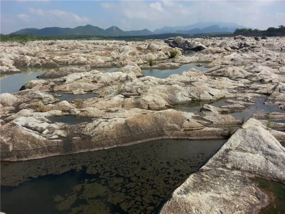
Severely corroded bedrock in front of the dam
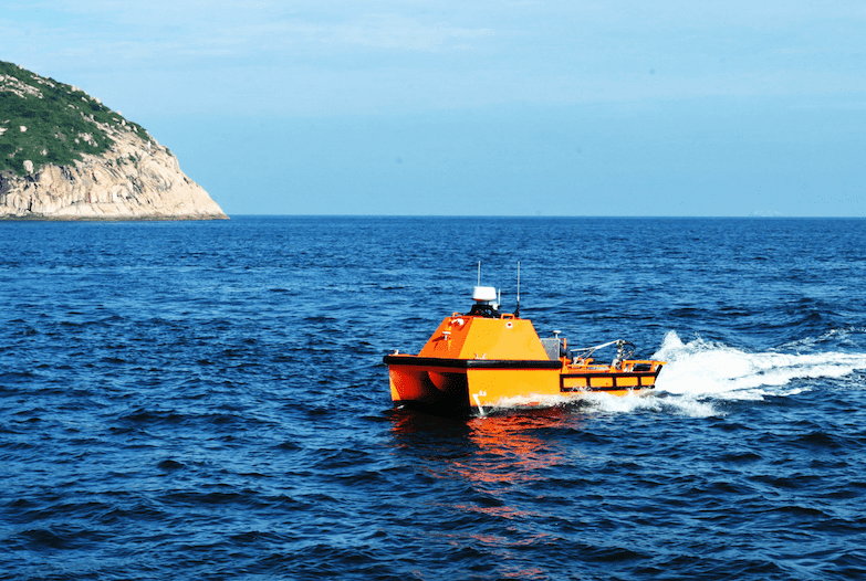
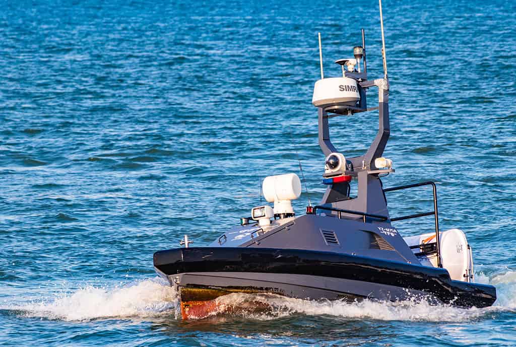
The Oceanalpha technical team decided to use the company’s SL40 unmanned surface vessel equipped with a small MBES, the Hydro-Tech YH400P, to address the challenge.
Mike Zhenjiang, Director of Engineering Services of OceanAlpha, commented: “This solution is compact and easy to install and test, thus significantly reducing the operating cost of mapping while ensuring personnel safety. We only have to send two staff to get all jobs done.”
Due to the narrow water surface area and the dramatically curved shoreline, technicians manually controlled the USV to move back and forth to collect underwater topographic data. The smooth operation and satisfactory data quality prove that the SL40’s superior maneuverability provides outstanding performance even in cramped and high-risk water environments.
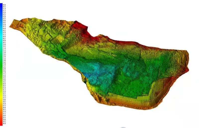
Post-processed inspection data
In half a day, the SL40 completed data acquisition of 26 meter deep pit. The high-quality data captured clearly shows the underwater situation of the complex pit, and provides high-precision data support for the maintenance of the dam.