High-Accuracy 3D Mapping for Autonomous Driving

By Mike Ball / 10 Jun 2020

Smart Sourcing for Unmanned Systems

Discover cutting-edge solutions from leading global suppliers
SUPPLIER SPOTLIGHT
Follow UST

Mapping sensor with Xsens MTi-300 AHRS inertial sensor module

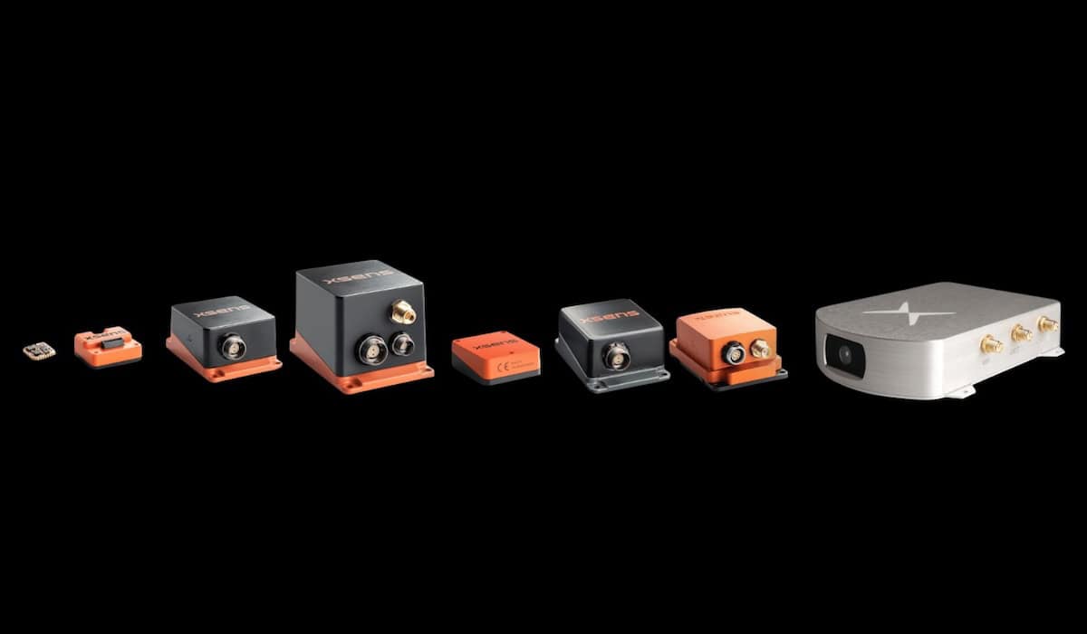
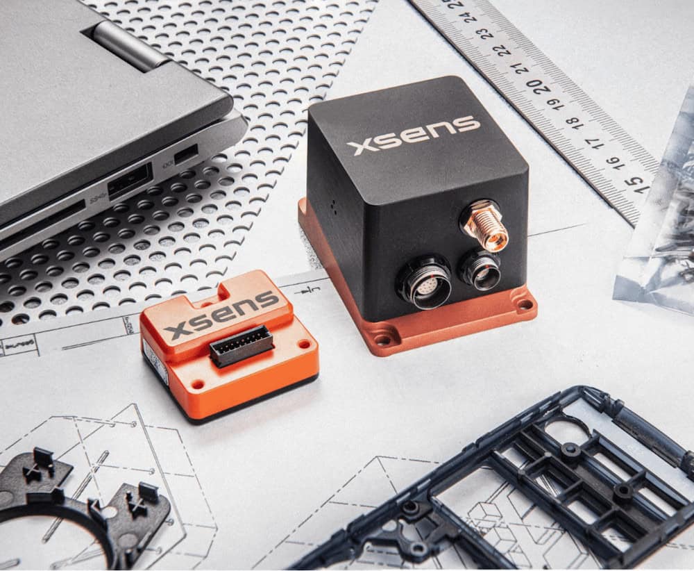
Xsens has released a case study showing how its MTi-300 AHRS inertial sensor module has been integrated into a 3D mapping system used by a fleet of surveying vehicles that is creating a network of high-definition 3D maps for future autonomous vehicles.

Read the case study on Xsens’ website here

Although almost all the world’s roads have been mapped in 2D, autonomous vehicles require more information, such as the height of kerbstones or the mouth of a road tunnel, positions of these objects on the surface of the earth, and information about road user signals and markings.

Mapping company Atlatec is creating detailed 3D maps as a kind of virtual railway track for autonomous vehicles, so that when these vehicles are advanced enough, accurate up-to-date mapping data can guide them through the real world.

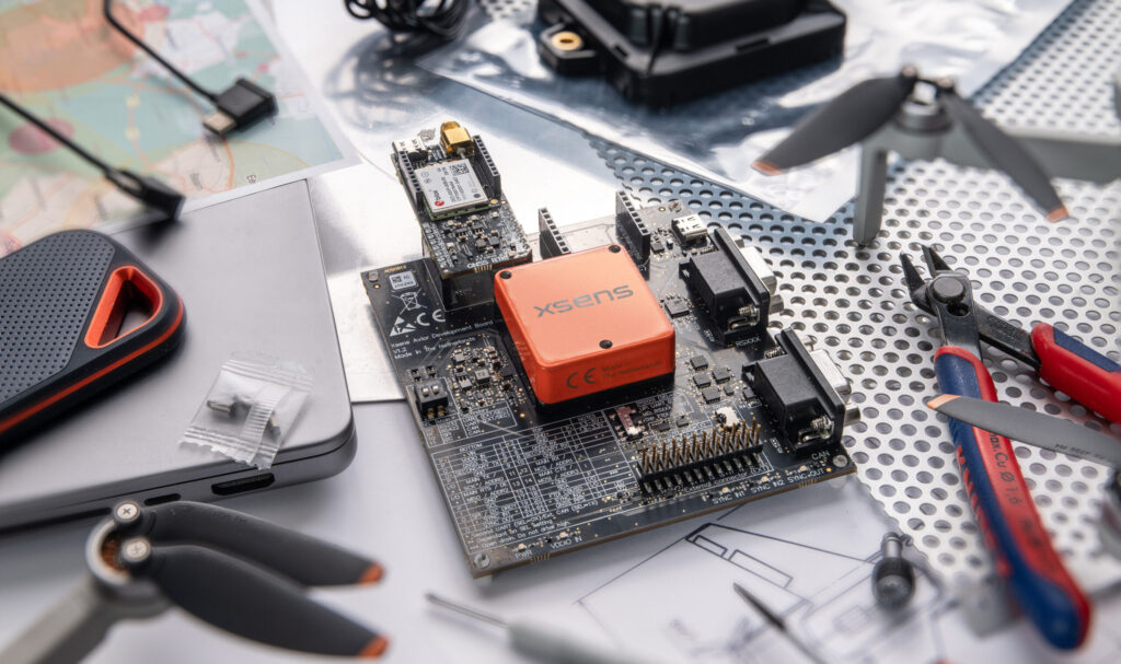
The maps need to be accurate to within a few centimeters, and to be regularly updated. Conventional high-definition 3D mapping for a large fleet of survey vehicles would be very expensive, and so Atlatec has developed a completely new solution for 3D mapping using a dual (stereo) camera, a GPS receiver, and the Xsens MTi-300 AHRS inertial sensor module.

Each survey car captures a geolocated stereo picture of the road 20 times a second, and each picture is tagged with the following information provided by the Xsens sensor:

Heading – the orientation of the vehicle in relation to magnetic North
Attitude – whether the road is flat, or how much it is angled uphill or downhill
Acceleration – to support positional ‘dead reckoning’ in urban canyons or tunnels, where access to the GPS signal is lost

Atlatec chose the Xsens MTi-300 AHRS due to a combination of its ease of integration and intuitive development tools, and its ability to deliver very accurate acceleration, rotation and orientation measurement outputs that are stable over time and temperature.

To find out more about inertial sensing for precision 3D mapping, read the full case study on Xsens’ website.

Posted by Mike Ball Mike Ball is our resident technical editor here at Unmanned Systems Technology. Combining his passion for teaching, advanced engineering and all things unmanned, Mike keeps a watchful eye over everything related to the unmanned technical sector. With over 10 years’ experience in the unmanned field and a degree in engineering, Mike’s been heading up our technical team here for the last 8 years. Connect & Contact

Latest Articles

sdf a

sdfsdf

Mar 28, 2025
Unmanned Helicopter & Camera Solutions to Showcase at LAAD Defence & Security

ZIYAN and HONPHO are set to showcase the Shadow S3 unmanned helicopter and the EO System stabilised camera solution at the LAAD Defence & Security 2025 exhibition in Brazil

Mar 28, 2025
The Role of Surface Preparation for Parylene Coating Adhesion

HZO explains how proper surface preparation is vital for achieving strong adhesion in Parylene coatings, ensuring long-term performance and durability in unmanned applications

Mar 28, 2025
Ascend Engineering Discusses Companion Computer Integration in Unmanned Aerial Systems

Ascend Engineering’s white paper explores integrating companion computers into drones, highlighting hardware selection, key capabilities, and implementation strategies

Mar 28, 2025
Most Read Articles on UST This Week

Here’s our round-up of the five most read articles on UnmannedSystemsTechnology.com this week

Mar 28, 2025
Ultra-High Resolution 3D Imaging System Released

Hydro-Tech's new product, the MS8240, is an ultra-high resolution adjustable 3D Multibeam Echo Sounder imaging system ranging from single frequency to multi-frequency

Mar 28, 2025

Featured Content

Be Part of the World’s Largest Business Accelerator for Uncrewed Systems: Applications Now Open

GENIUS NY, a drone and robotics accelerator program, is now accepting applications from tech startups focused on uncrewed aerial systems, to automation and Advanced Air Mobility (AAM)

Mar 25, 2025
How IONA Reaches the Last Mile Through Smart Product Development

In this webinar, learn from Drone Industry Insights about scaling production and supply chain challenges, strategies from Arena by PTC to optimize product development, and how IONA Drones are advancing last-mile delivery

Mar 18, 2025
Nokia Talks to UST about 4G/5G Connected Drone-in-a-Box Advancements

How Nokia is revolutionizing drone connectivity with 4G and 5G, and advancing autonomous operations with the cutting-edge drone-in-a-box solution; Nokia Drone Networks

Mar 16, 2025
Advancing Unmanned Systems Through Strategic Collaboration UST works with major OEMs to foster collaboration and increase engagement with SMEs, to accelerate innovation and drive unmanned systems capabilities forward.