


GPS/GNSS Products
Discover cutting-edge solutions from 18 leading global suppliers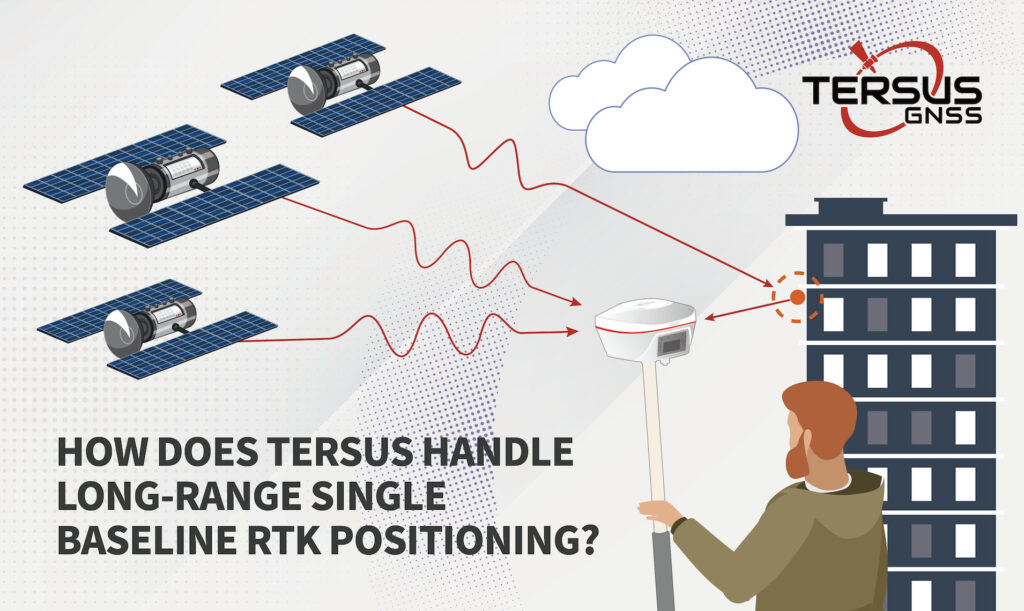
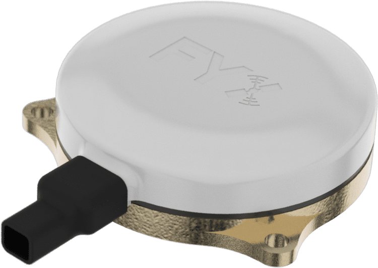
Tersus GNSS has developed advanced solutions for the persistent challenge of long-range RTK positioning accuracy. While traditional RTK methods excel within 20km baselines, achieving similar precision across greater distances demands sophisticated error management.
This guide from Tersus GNSS explores the key factors affecting extended-range RTK performance and how the company’s technology addresses these challenges through innovative hardware and processing solutions.
Understanding Performance Variables of RTK GNSS
Satellite System Dynamics
Advanced orbital determination techniques have revolutionized positioning accuracy, restricting uncertainties to just 5-10cm with baseline impacts remaining under 1ppm. Modern monitoring networks continuously track satellite timepiece performance, effectively limiting signal propagation variations to under 6m while maintaining baseline accuracy at 0.2ppm.
Atmospheric Conditions
The ionosphere presents significant challenges through its impact on signal propagation. Measurements conducted during daylight hours experience five times greater deviation compared to nighttime operations. Similarly, winter periods demonstrate substantially higher variations than summer measurements. During periods of intense solar activity, electron density fluctuations can completely prevent accurate RTK positioning.
The troposphere introduces additional complexity through elevation-dependent signal delays. At optimal 90-degree elevation angles, electromagnetic wave path differences typically measure 2-3mm. However, these variations can escalate dramatically to approximately 20m when satellites appear at lower 10-degree angles.
Environmental Interference
Multipath errors emerge as perhaps the most challenging aspect of RTK positioning. These distortions occur when signals reflect off surrounding surfaces before reaching the receiver. In typical conditions, multipath effects introduce several centimeters of error, though this can exceed 10cm in environments with highly reflective surfaces.
External signal interference poses another significant challenge. Common sources include radio transmission equipment, radar installations, and high-voltage power infrastructure. The severity of these disruptions varies based on the interference source’s frequency, power output, and proximity to the measurement location.
Optimizing Long-Range Measurements
Distance-Based Considerations
For measurements conducted within 10km, orbital and satellite timing effects become negligible enough to ignore. However, when working with baselines extending to 20-30km, operators must account for orbital errors that can introduce 2-3cm of uncertainty.
Advanced Error Mitigation
Contemporary positioning systems employ dual-frequency receivers that combine L1 and L2 observations to minimize ionospheric interference. Professional operators carefully schedule measurement campaigns to avoid periods of peak atmospheric disturbance. Setting minimum elevation masks above 15 degrees helps reduce tropospheric impact on measurements.
Site selection plays a crucial role in measurement success. Optimal locations feature open sky visibility with minimal nearby reflective surfaces. Maintaining appropriate distances from potential interference sources proves essential – specifically, positions should be established at least 200m from radio transmitters and 50m from high-voltage power lines.
Modern Performance Capabilities of RTK Positioning
Advanced RTK receivers incorporate sophisticated error compensation technologies across both hardware and processing systems. These advanced solutions achieve horizontal precision of 8mm plus 1ppm and vertical accuracy of 15mm plus 1ppm. When applied to challenging 40km baseline scenarios, users can expect horizontal accuracy of 48mm and vertical precision of 55mm, demonstrating how modern systems effectively manage extended-range positioning requirements while maintaining professional-grade measurement standards.
The continuous advancement in RTK technology enables surveyors and geospatial professionals to push the boundaries of long-range positioning while maintaining the precision necessary for demanding applications. Understanding these various error sources and implementing appropriate mitigation strategies ensures optimal performance across increasingly challenging measurement scenarios.
Read the full article, or visit the Tersus GNSS website to find out more.


