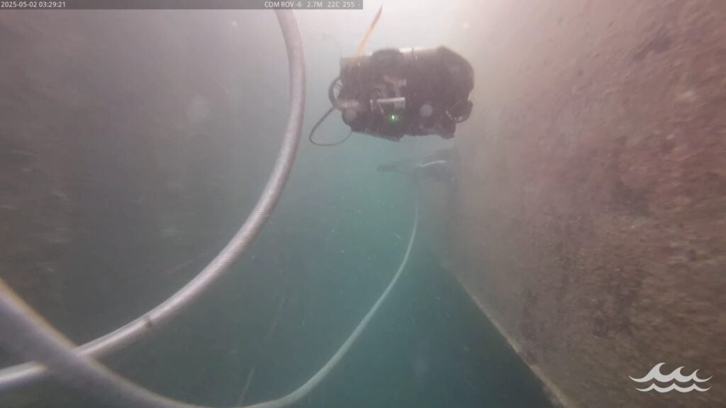
Deep Trekker highlights how Franmarine deploys its ROVs alongside the MarineStream software platform to deliver standardized in-water hull inspections, biofouling management, and UWILD workflows
Honeywell Aerospace’s Vision-Aided Navigation and HANA framework enable reliable position, velocity, and timing in GNSS-denied environments for crewed and uncrewed aviation platforms
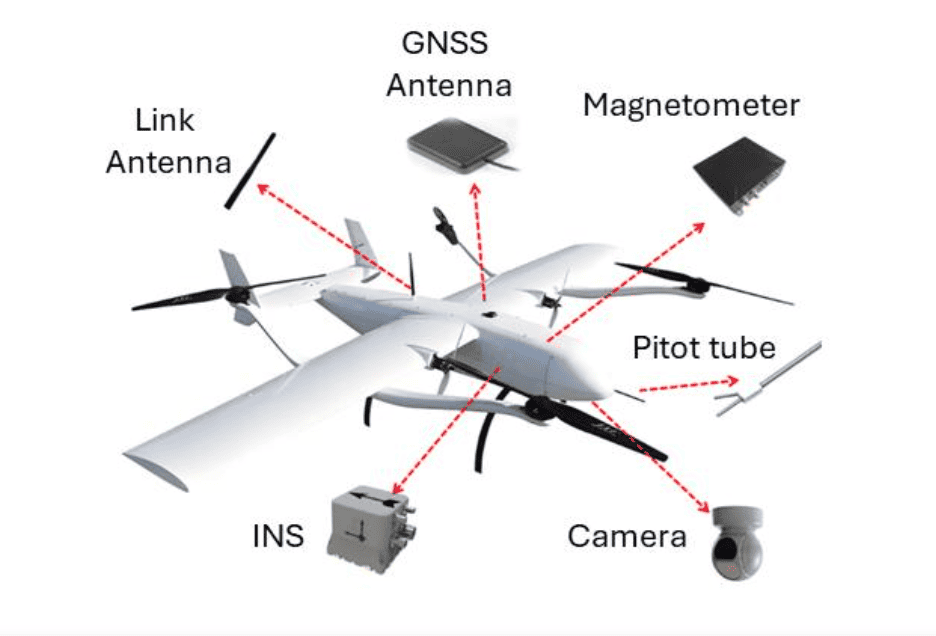
Sabrobotix outlines how helicopter UAV platforms provide advantages in speed, endurance, payload capacity, and performance in challenging conditions compared to multirotor systems across a range of operational applications
EIZO Rugged Solutions explains how XMC modules enable scalable compute expansion in deployed mission systems, supporting GPU-accelerated AI processing without requiring changes to existing system architectures
Knight Optical explains when to select optical domes or optical windows, considering how geometry, performance, and field of view influence their suitability for imaging and sensing applications across different operating conditions
DTC’s dynamic peer-to-peer MESH architecture enables resilient, self-forming and self-healing communications, allowing distributed forces to maintain connectivity in contested environments while seamlessly integrating unmanned systems and adapting to disruption
Explore how LiveU and public safety agencies are leveraging drones as first responders to enhance emergency response and critical infrastructure protection
ParaZero Technologies examines how lessons from recent conflicts are reshaping counter-drone strategies by exposing limitations in layered C-UAS systems and driving a shift toward individual-level protection
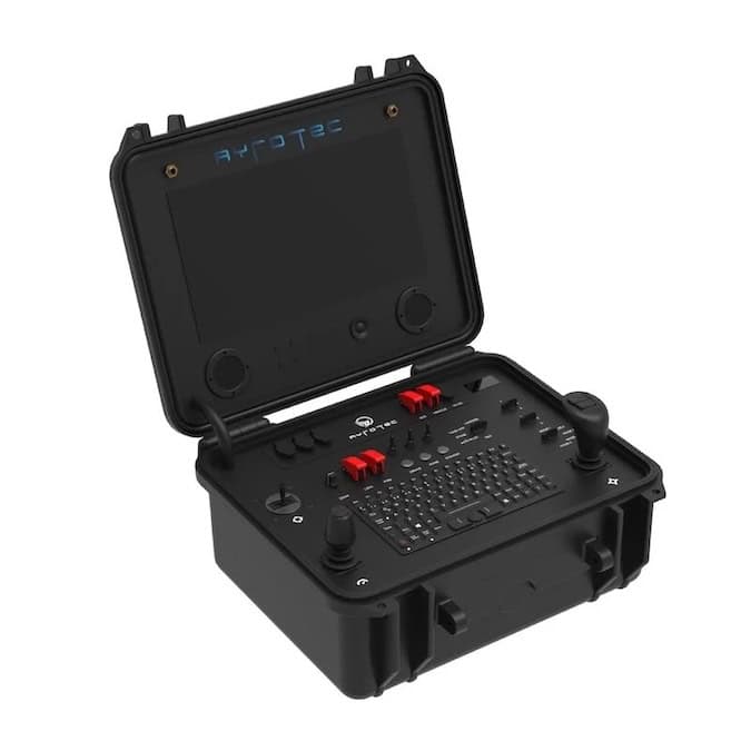
Ruggmate outlines how customizable and modular ground control stations are designed to meet the evolving requirements of specialized unmanned systems, supporting tailored HMI configurations, system integration, and mission-specific requirements
Inertial Labs outlines the integration and flight-tested performance of visual-aided inertial navigation with vision-based positioning, combining inertial measurement data with visual inputs to support accurate localization in GNSS-denied conditions
UAV Navigation-Grupo Oesía explores advanced flight control systems that enable UAS to intercept aerial threats through precise navigation, camera-based guidance, and coordinated swarm operations
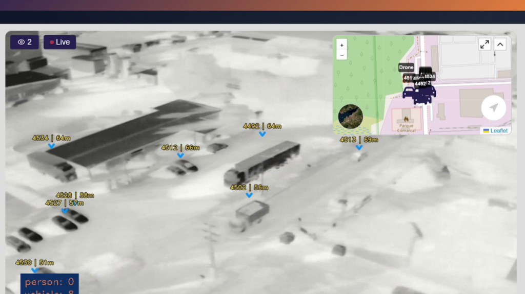
Sense Aeronautics’ SenseStream provides a plug-and-play integration approach connecting DJI drone video streams with real-time analytics, enabling low-latency sharing, recording, telemetry integration, and AI-driven insights without complex setup
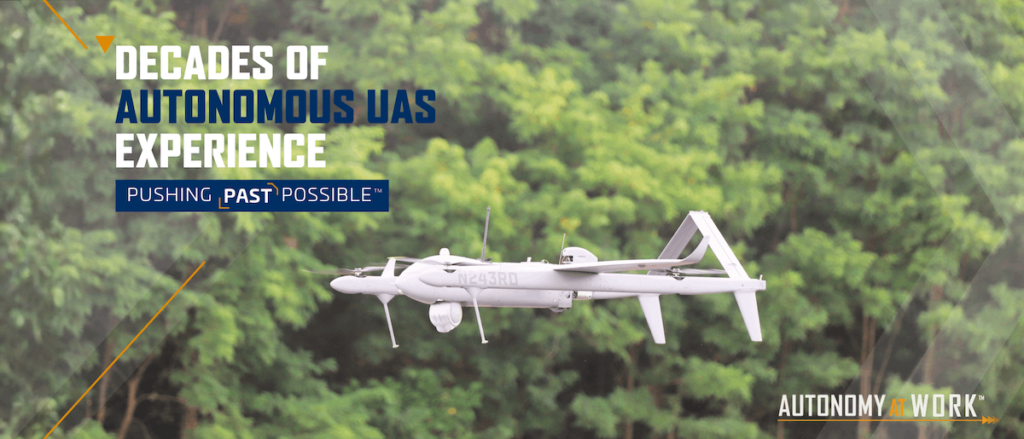
Textron Systems outlines how decades of operational experience have shaped its uncrewed aircraft systems, highlighting the development of Pioneer, Shadow®, and Aerosonde® in support of military operations
HOBBYWING highlights the P-Series high-voltage propulsion systems, detailing their architecture, safety features, and applications in heavy-lift UAV and eVTOL operations
HP Additive highlights its portfolio of high-performance 3D printing materials engineered for UAV manufacturing, enabling drone developers to achieve lightweight strength, durability, and mission-ready reliability
Aviorace is leveraging specialized TE Connectivity Wildcat series components to bring mission-critical motorsport engineering and extreme density interconnect technology to the rapidly evolving unmanned aerial vehicle and defense sectors
An overview of Global Navigation Satellite Systems (GNSS), highlighting key global constellations and the role of EDGE Microwave in enabling reliable positioning technologies
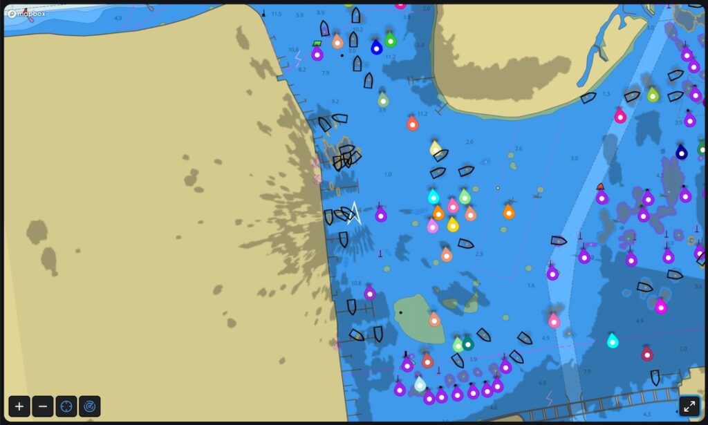
Tocaro Blue outlines how ProteusCore™ ML radar processing enables advanced filtering, automatic tuning, target classification, and OEM integration for marine navigation interfaces
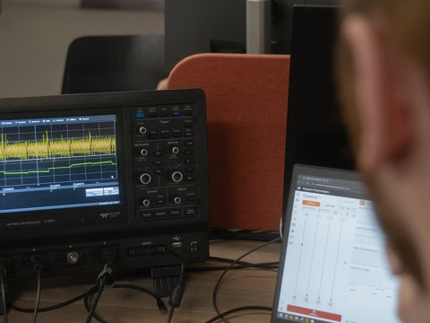
Hargrave Technologies outlines input voltage ripple measurement in electronic speed controllers, detailing key influencing factors, testing methods, and capacitor selection to ensure stable sensorless motor control and long-term reliability
Discover how San Francisco Circuits’ double-sided BGA assembly enables high-density, compact PCBs, powering advanced electronics for drones, autonomous vehicles, and next-generation unmanned systems
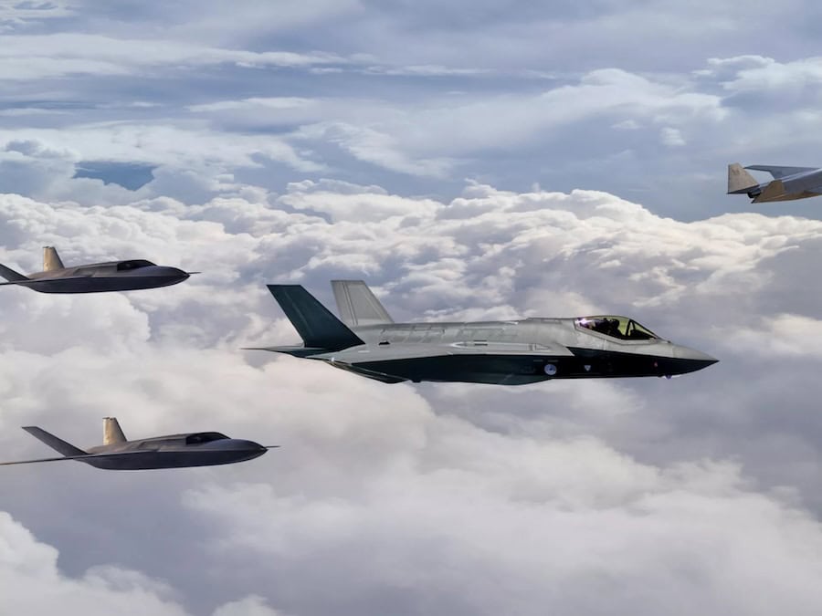
Honeywell Aerospace outlines the HON6000 turbofan engine, designed to power medium-sized Collaborative Combat Aircraft and uncrewed platforms in demanding operational environments
Tyto Robotics guides UAV engineers in understanding and measuring propeller performance coefficients, showing how these metrics reveal efficiency and suitability across different propeller designs and flight conditions
Blue Marble Geographics highlights its Online Classroom, featuring new self-paced courses in point cloud processing that cover core workflows, feature extraction, and advanced analysis using Global Mapper tools
RTKdata examines how U.S. drone approval restrictions and federal compliance rules affect RTK workflows, highlighting procurement limits, DJI fleet considerations, and the role of NTRIP RTK in maintaining positioning consistency
SubC Imaging outlines how integrated imaging, recording, streaming, and communication systems enable reliable remote subsea inspections by supporting accurate decision-making without offshore presence
Advancing Unmanned Systems Through Strategic Collaboration
UST works with major OEMs to foster collaboration and increase engagement with SMEs, to accelerate innovation and drive unmanned systems capabilities forward.