Honeywell Aerospace is developing navigation technologies that maintain accurate position, velocity, and timing in environments where satellite-based systems are unavailable. Its Vision-Aided Navigation (VAN) capability and Honeywell Alternative Navigation Architecture (HANA) framework support reliable navigation for crewed and uncrewed platforms operating in GNSS-denied conditions. Read more >>
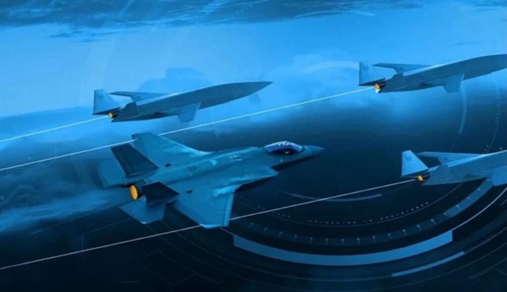
Uncrewed systems operating in contested or signal-degraded environments require navigation capabilities that do not rely solely on Global Navigation Satellite Systems (GNSS). Disruption through jamming, spoofing, or signal blockage can degrade or deny access to satellite-based positioning, creating a need for alternative approaches.
Inertial navigation systems (INS) continuously calculate position, velocity, and attitude, but their accuracy degrades over time without input from a second, independent reference source. GNSS has traditionally fulfilled this role, forming the basis of GNSS/INS architectures across aviation. When GNSS is unavailable, additional aiding sources are required to maintain trusted position, velocity, and timing data.
Vision-Aided Navigation for Reliable Positioning
Vision-Aided Navigation provides an independent source of positioning data by using onboard cameras to observe the surrounding environment. The system identifies and tracks visual features such as terrain, structures, and runways, and compares real-time imagery with stored reference maps.
This process provides an absolute position reference that does not drift over time. When fused with inertial sensor data, VAN corrects INS drift, improves accuracy, and enables precise navigation in complex and contested environments, including for uncrewed aerial systems.
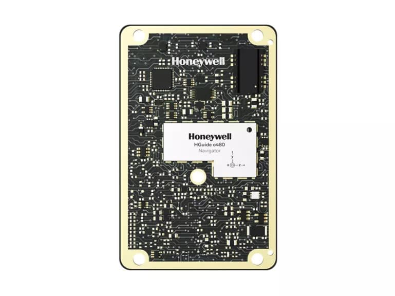
Honeywell Aerospace offers VAN solutions that are available today for military and commercial operators, supporting navigation when GNSS signals are degraded or unavailable.
A Modular Alternative Navigation Architecture
The Honeywell Alternative Navigation Architecture (HANA) is designed to supplement INS when GNSS signals are degraded, jammed, or denied. It integrates multiple independent aiding sources within a single framework, enabling consistent navigation across a range of operating conditions.
The architecture reflects the principle that no single alternative navigation solution is sufficient in all scenarios. Instead, HANA enables the integration of complementary technologies, including Vision-Aided Navigation, within a unified system.
Integrating Multiple Independent Aiding Sources
HANA supports a range of independent aiding sources, each contributing distinct capabilities:
- Magnetic anomaly-aided navigation leverages variations in the Earth’s magnetic field as a reference. By comparing real-time measurements to known magnetic signatures, the system estimates aircraft position. This provides a passive, globally available aiding source, particularly in maritime environments where visual references may be limited.
- Low Earth Orbit (LEO) satellite navigation uses signals from low-altitude satellite constellations that are typically stronger and more difficult to jam than traditional GNSS signals. These signals provide an additional source of timing and ranging data.
- Supplementary sensors such as radar, celestial or star tracking, and radio-based ranging provide additional position or motion data depending on the operating environment, and are designed to integrate within the same fused architecture.
Enabling Resilient Uncrewed and Crewed Operations
Honeywell Aerospace is advancing the integration of alternative navigation technologies across current and future aviation platforms, including uncrewed systems. Vision-Aided Navigation solutions that are available today provide a foundation for broader adoption of HANA across the aviation ecosystem.
By combining multiple independent aiding sources within a single framework, these technologies enable continued navigation in environments where GNSS cannot be relied upon.