


Drone LiDAR
Discover cutting-edge solutions from 4 leading global suppliers
SUPPLIER SPOTLIGHT
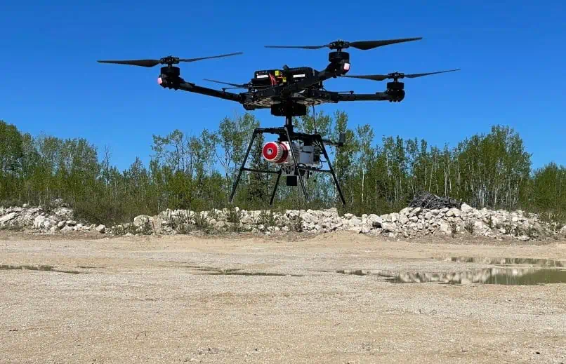
Phoenix LiDAR has released a case study showing how its RANGER-LR LITE LiDAR mapping system was used by geomatics service provider Caltech to create a facility as-built of a site consisting of a large range of pipes, buildings, and assorted equipment.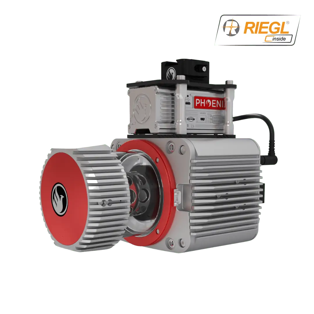
The case study covers:
- The advantages of the RANGER-LR LITE mapping solution, including its dual-purpose capabilities and the ability to easily create and disseminate 3D geospatial data in a user-friendly format
- How the RANGER-LR LITE was utilised with both a truck and an Alta X UAV (unmanned aerial vehicle)
- The successful results achieved by Caltech


