Showcase your capabilities
If you design, build or supply Imaging Sonar, create a profile to showcase your capabilities and connect with visitors who have an active requirement for your solutions.




Imaging sonar uses acoustic transmissions and processed echoes to create spatial representations of underwater targets, terrain and structures where optical sensors are limited. Designed for ROVs, AUVs, and USVs, these systems support real-time piloting, obstacle avoidance, hydrographic surveying, subsea inspection, search and recovery, environmental monitoring, and mine countermeasures.
This page showcases underwater imaging sonar manufacturers and systems, including forward-looking, multibeam, 2D, 3D, synthetic aperture, profiling, and bathymetric sonar solutions.
Read the Technology Overview




Cutting-Edge Acoustic Positioning & Subsea Imagery Solutions for Unmanned & Robotic Systems

Advanced Underwater Imaging & Positioning Solutions for Uncrewed & Autonomous Marine Vehicles

Innovative High-Resolution Subsea Imaging and Power Technologies for Commercial, Scientific & Military Underwater Survey Missions

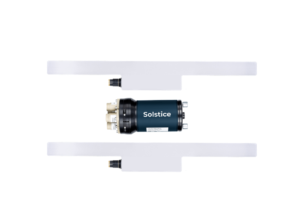
Integrated Systems & Payloads for Unmanned Surface & Underwater Platforms Operating in Complex Maritime Environments

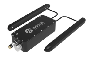
Hydrographic Survey Equipment: Multibeam Echo Sounders, Side Scan Sonars, Sound Velocity Sensors & Profilers

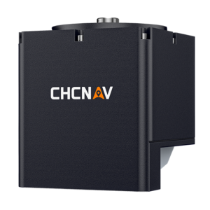
GNSS Positioning & Navigation Systems, Mobile Mapping UAV LiDAR & Unmanned Surface Vehicles

If you design, build or supply Imaging Sonar, create a profile to showcase your capabilities and connect with visitors who have an active requirement for your solutions.

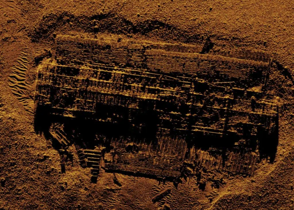
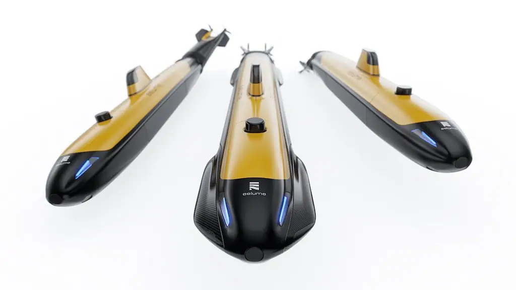
Underwater imaging sonar enables Remotely Operated Vehicles (ROVs), Autonomous Underwater Vehicles (AUVs), and Unmanned Surface Vessels (USVs) to perceive targets and terrain where optical sensors fail. By transmitting acoustic energy and processing the returned echoes, an underwater sonar imaging system creates high-resolution spatial representations such as 2D acoustic images, 3D point clouds, bathymetric surfaces, or side-scan maps, even in turbid or low-visibility water.

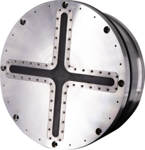
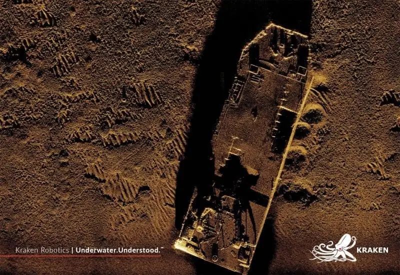
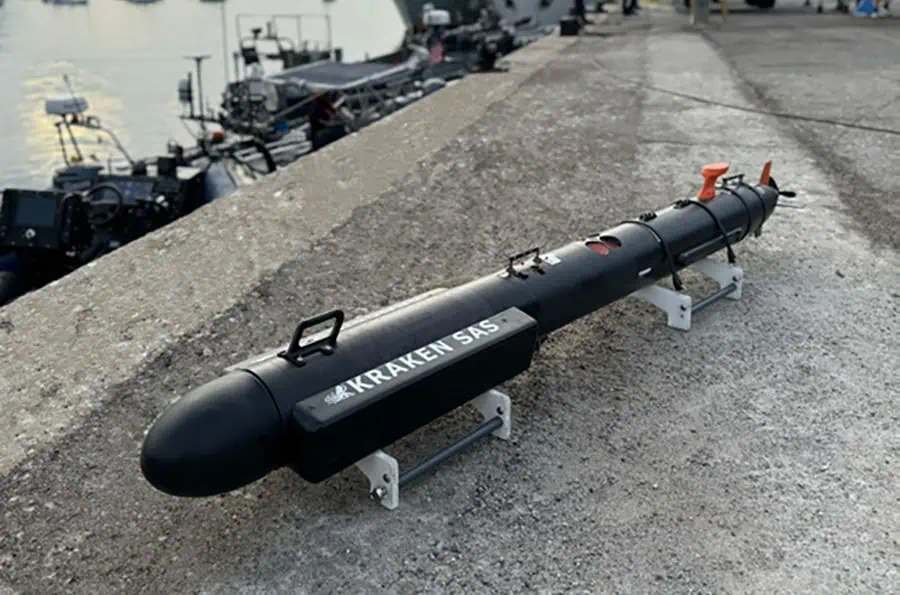
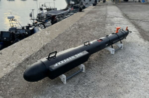
Kraken MP-SAS by Kraken Robotics.
These systems serve distinct roles across unmanned platforms, providing ROV pilots with situational awareness, acting as navigation sensors for AUVs, and operating as hydrographic payloads on USVs. Because acoustic images display shadows, multipath returns, and speckle noise, interpreting underwater sonar images requires distinct operator expertise or automated processing chains to evaluate geometry and target context accurately.
Forward imaging sonar aligns with vehicle travel to support collision avoidance, piloting, and target reacquisition. Most units generate a sector-shaped display with fast refresh rates suitable for real-time decision-making. Proper mounting prevents acoustic masking by vehicle frames or manipulators while providing autonomy stacks with sufficient look-ahead range and reaction time.
A multibeam imaging sonar utilizes acoustic arrays and digital beamforming to generate multiple narrow receive beams from each transmission. This delivers rapid update rates ideal for dynamic ROV piloting and AUV target tracking. Choosing between higher frequencies for fine spatial detail or lower frequencies for extended stand-off range depends on target size and operational needs.
Mechanically scanning systems rotate a focused acoustic beam across a sector, constructing a composite plan-view image sweep by sweep. This compact, cost-effective setup suits small inspection ROVs and landers, though target motion or vehicle drift can cause temporal image distortion if platform movement is not accounted for.
A 2D imaging sonar resolves range and bearing within a single imaging plane but lacks elevation data. Operators reduce or resolve vertical ambiguity using mechanical tilt units, vehicle movement, or observations from multiple viewpoints, making an ROV 2D imaging sonar ideal for structural examination and obstacle clearance.

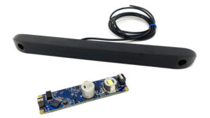
Omniscan 450 SS by Cerulean Sonar.
By measuring range, bearing, and elevation either simultaneously or through rapid scanning, 3D imaging sonar generates volumetric point clouds or voxel grids. These 3D sonar imaging systems remove elevation ambiguity in complex subsea assets like jackets and manifolds, supporting precise dimensional checks and structural clearance assessments.
Synthetic aperture sonar combines acoustic returns along a controlled vehicle trajectory to synthesize a large array. This technique can provide high along-track resolution that is largely independent of range, although overall image quality remains dependent on frequency, aperture, environmental conditions, and processing. It excels in AUV seabed mapping, mine countermeasures, and pipeline surveys, provided navigation and motion-compensation systems tightly control motion-induced phase errors.
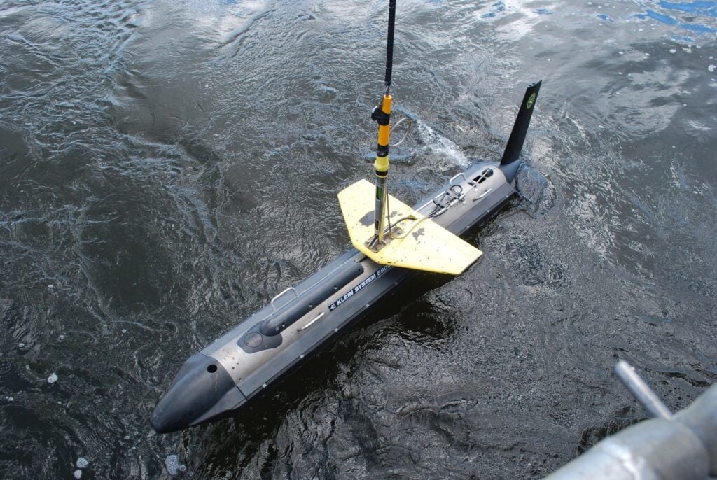
Profiling and bathymetric sonars are designed primarily to derive geometric range, profile, and seafloor depth measurements, although many systems also record acoustic backscatter intensity. Integrated with inertial navigation and sound velocity measurements, bathymetric multibeam echo sounders produce georeferenced maps, while side imaging sonar projects lateral beams to highlight fine seafloor texture and relief.
Underwater sonar imaging systems provide critical visibility around platform legs, subsea trees, and wind turbine foundations when turbid water blinds cameras. Forward imaging sonar guides vehicle approach, while 3D and multibeam sonars support measurements of scour, pipeline free spans, and structural deformation.
Surveyors use multibeam sonar to chart navigation channels and bathymetry, while side imaging sonar payloads identify submerged hazards and variations in seafloor texture. USVs efficiently survey shallow coastal zones, while deep-operating AUVs execute broad-area mapping beneath wave action or ice cover.
Locating lost vessels, aircraft debris, or subsea equipment relies on wide-area side imaging sonar or AUV synthetic aperture arrays. Target contacts identified during primary sweeps are then investigated at close range by ROVs equipped with forward imaging sonar.
Acoustic imaging allows researchers to observe marine life, fish aggregations, and seabed habitats without relying on artificial light that may disturb animal behavior. Backscatter and water-column analysis also support seabed substrate classification and gas seep detection across expansive marine reserves.
Synthetic aperture sonar delivers the high coverage rates and fine spatial resolution needed to detect low-profile or partially buried seabed mines during countermeasure operations. Unmanned systems sweep suspected sea lanes safely, flagging contacts for target reacquisition and identification by hovering ROVs.
Autonomy algorithms process live forward sonar imaging data to build local obstacle maps and calculate clear vehicle paths. Fast AUVs demand longer detection ranges for evasive maneuvers, while hovering ROVs rely on wide angular coverage to navigate safely within congested structures.
An underwater sonar imaging system achieves maximum utility when acoustic returns are tightly bound to precise spatial coordinates, platform attitude, and accurate time tags. Navigation data stabilizes imagery, supports target geolocation, and enables multiple observations to merge into coherent maps or three-dimensional models.
Integrating these positioning sources allows acoustic returns to be georeferenced more accurately, providing the stability needed for actionable subsea mapping and autonomous decision-making.
Acoustic perception technology continues to advance rapidly, driven by miniaturized electronics, edge processing, and multi-platform collaboration. Specifiers evaluate these emerging capabilities based on field performance, calibration stability, and integration support.
These technological advances continue to transform acoustic payloads into intelligent, multi-modal perception engines for modern unmanned ocean systems.


 Searching Companies & Products



 Subscribe to the Weekly eBrief
The latest engineering and technical developments straight to your inbox - join thousands of engineers who receive it.
Subscribe to the Weekly eBrief
The latest engineering and technical developments straight to your inbox - join thousands of engineers who receive it.