Representatives Gathered for BVLOS Drone Safety

NASA gathered FAA, police, fire department, and commercial representatives with the goal of developing ideas and infrastructure to allow commercial drones to fly BVLOS operations safely By Abi Wylie / 21 Aug 2024

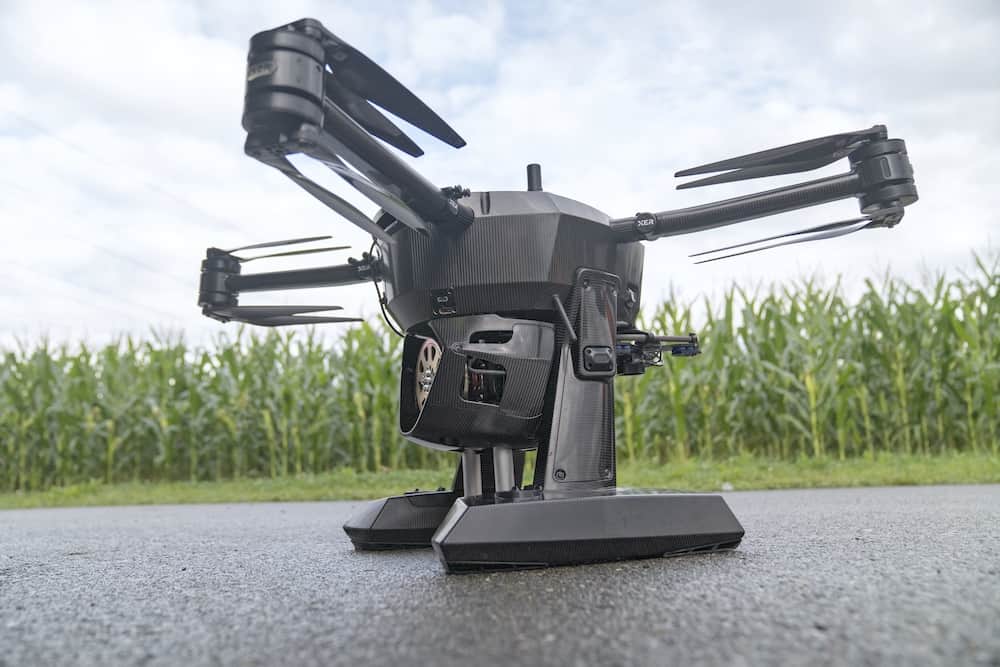
Public Safety Drones

Discover cutting-edge solutions from 13 leading global suppliers
SUPPLIER SPOTLIGHT
Representatives Gathered for BVLOS Drone Safety
Follow UST

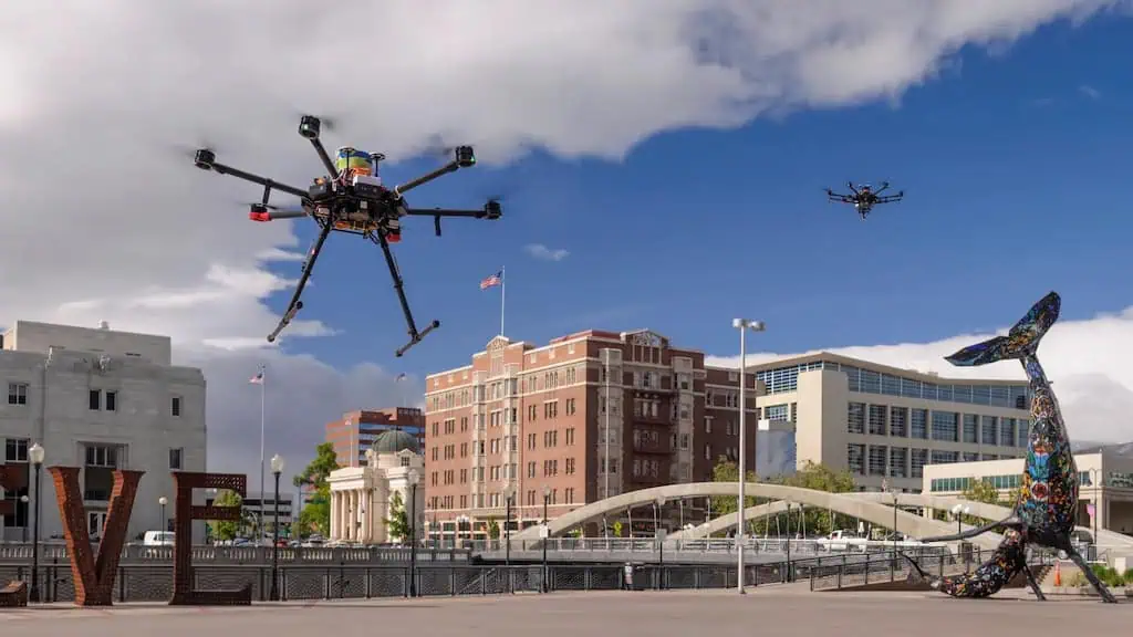
NASA has gathered representatives from the Federal Aviation Administration (FAA), police and fire departments, and commercial industry to figure out how to allow drones to fly past where their operators can see them

This is an important step for public safety drones, most of which are limited on operations to areas known as “visual line of sight” for safety purposes. 

However, engineers and researchers are developing the infrastructure to allow drones to operate beyond this point. As the FAA works to authorize these types of flights, NASA is helping ensure these operations are safe and efficient.  

This work from NASA and the FAA could have significant commercial applications – including drone deliveries – but at their June meeting, the agencies were focused on public safety drones used for search-and-rescue, accident scene reconstruction, and situational awareness during fires and other emergencies. 

Researchers need to figure out how drones on public safety missions can operate safely beyond visual line of sight – and do so in airspace shared with drones on commercial missions

Hosted by NASA’s Ames Research Center in California’s Silicon Valley, the meeting took place in Arlington, Texas City Hall. Attendees included members of the FAA, the Department of Homeland Security, the Texas Department of Public Safety, the Arlington local police and fire departments, and representatives of the Dallas-Fort Worth International Airport. 

The group’s discussion included the special considerations needed for public safety drone operations beyond visual line of sight. And they identified at least one significant challenge: how to ensure that public safety drones have priority when operating in the same airspace with commercial drones. 

NASA researchers provided feedback from this session to the FAA, commercial drone operators, and service providers. Input from the public safety meeting will support the FAA’s evaluation of commercial drone flights beyond visual line of sight, which the agency is currently conducting in the Dallas-Fort Worth area. Data from these operations will inform FAA rulemaking. 

NASA’s work is led by its Uncrewed Aircraft Systems Traffic Management System Beyond Visual Line of Sight effort, which falls under the Air Traffic Management Exploration project. 

This subproject directly supports NASA’s Advanced Air Mobility mission. Advanced Air Mobility aims to transform our communities by bringing the movement of people and goods off the ground, on demand, and into the sky.  

Posted by Abi Wylie Edited by Abigail Wylie, Editor and Copywriter experienced in digital media with a keen interest in ocean science technology. Connect & Contact

Latest Articles

Most Read Articles on UST This Week

Here’s our round-up of the five most read articles on UnmannedSystemsTechnology.com this week

Jul 11, 2025
Vertiq Speed Firmware v0.1.1 Now Available with Bug Fixes

Vertiq has released firmware v0.1.1 to correct a parameter bug affecting telemetry and 3D mode settings on select G1 and G2 modules

Jul 11, 2025
The Role of ROVs in Unmanned Marine Operations

Oceanbotics has answered the most common questions about ROVs, covering how they work, where they're used, and key capabilities

Jul 11, 2025
LiveU File Transfer Speeds Up Drone Data Delivery for Critical Missions

LiveU’s File Transfer enables rapid transmission of large drone data files, reducing delays and supporting faster decision-making in public safety and infrastructure operations.

Jul 11, 2025
Exploring Differences Between M9PLUS & M9 GNSS Antennas

Discover the key upgrades in Maxtena’s new M9PLUS GNSS antenna, including improved performance, signal purity, and multipath mitigation over the original M9

Jul 11, 2025
USAF Uses Inertial Labs Drone Lidar for Tree Obstruction Survey

The US Air Force successfully used Inertial Labs drone Lidar and cloud software to quickly map tree obstructions at Joint Base Lewis-McChord (JBLM), improving airfield safety

Jul 11, 2025

Featured Content

USAF Uses Inertial Labs Drone Lidar for Tree Obstruction Survey

The US Air Force successfully used Inertial Labs drone Lidar and cloud software to quickly map tree obstructions at Joint Base Lewis-McChord (JBLM), improving airfield safety

Jul 11, 2025
New UAV to Combine Solar Hydrogen & Battery Power for Extended Flight

XSun and H3 Dynamics are developing the first UAV powered by solar, hydrogen, and batteries, aiming to deliver zero-emission, long-endurance unmanned flight

Jul 07, 2025
Enhancing Mangrove Restoration Through 3D Printed Drone Design

Explore how Inverto Earth, in collaboration with HP Additive, is using sustainable 3D printing and drone technology to drive large-scale mangrove restoration and protect vulnerable coastal ecosystems

Jul 03, 2025
Advancing Unmanned Systems Through Strategic Collaboration UST works with major OEMs to foster collaboration and increase engagement with SMEs, to accelerate innovation and drive unmanned systems capabilities forward.