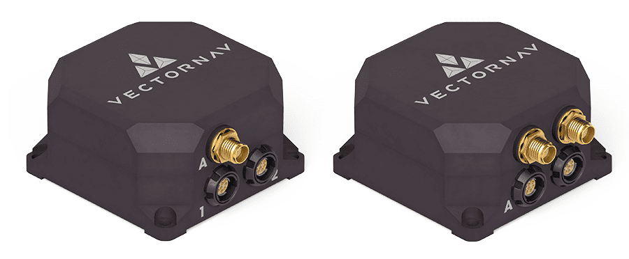
VectorNav has confirmed that its VN-200 GPS-aided inertial navigation system (INS) has been integrated into Overwatch Imaging’s TK-series precision imaging payload. The payload has been designed for aerial smart mapping and automatic detection applications for UAVs (unmanned aerial vehicles) and manned aircraft.
Traditional tactical imagery payloads such as stabilized turret systems feature electro-optical cameras with small field-of-view angles and high zoom capabilities. These systems are ideal for tracking target objects from high altitudes, however they suffer from the “soda straw effect”: when such a camera system is zoomed in to see small targets only a small area of ground can be viewed. When the system is zoomed out to view large areas, smaller details/targets are not visible to the user.
Stabilized “soda straw” video systems struggle when the application calls for finding small objects in very large areas, such as industrial inspections or wide-area land management surveys. Overwatch saw an opportunity to develop imaging systems that enable users to achieve a greater combination of image resolution and area coverage for low-altitude manned and unmanned aircraft. To deal with all the data, Overwatch also developed automated image processing software to turn imagery into geospatial intelligence.
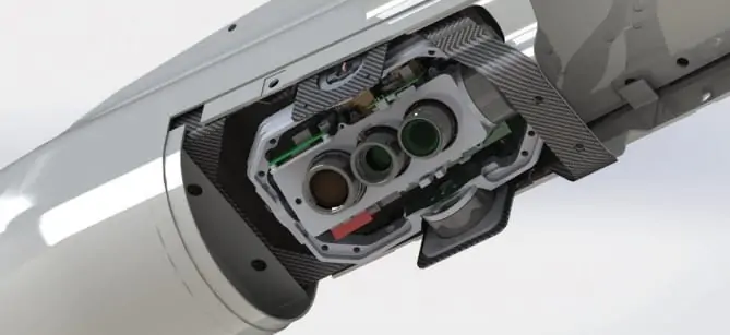
Overwatch Imaging’s TK-series camera systems are designed around a unique, nadir-pointing (pointing directly below) pitch, roll and yaw stabilized mount. The system features an imaging module that holds application specific sensors and optics, an onboard mini supercomputer and onboard storage for custom image processing algorithms.
In order to cover large areas with high resolution the engineers at Overwatch developed a step-stare scanning camera motion feature that increases the per-pass data by 4x, compared to traditional mapping systems. This enables users to either map 4x the amount of ground per pass, increase the resolution by 4x or a combination of both.
To implement this advanced imaging technique Overwatch required an Inertial Navigation System (INS) that could be mounted directly to the optical bench. Doing so would remove the requirement to rely on aircraft INS for data, remove the requirement for encoders on the individual axes, reduce the control system and electronics complexity and provide a smaller overall form factor (critical to small and medium-sized UAS). It was also critical that the INS provide low latency attitude data within 0.1° accuracy for pitch and roll in dynamic conditions. This would create a faster workflow, lessen the load on the onboard processor for real-time image stitching and allow for operation at larger standoff ranges.
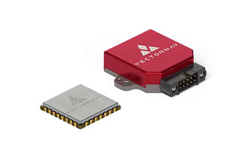
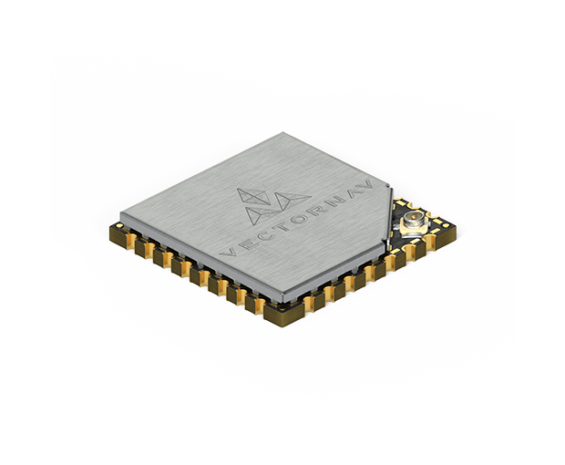
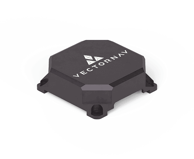
The engineers at Overwatch surveyed the market and down-selected several inertial products from a variety of suppliers. The Overwatch team focused on identifying a solution that provided the highest accuracy in the smallest form factor and for the best price. The VectorNav VN-200 Rugged GPS-aided INS out competed all competitive products in each of these categories. The VN-200’s ability to output accurate position and attitude data at up to 400 Hz and high gyroscope angular rate range (±2000 °/s) allowed the TK-series to maintain accurate attitude estimates while performing the step-stare scanning motions.
“VectorNav has an excellent reputation in the marketplace,” said Greg Davis, Founder of Overwatch Imaging. “When a review of available solutions showed that the VN-200 surpassed other INS solutions in size, cost and performance our choice was clear.”
The TK-series payloads can be customised with a combination of cameras, filters and lenses to deliver the optimal spatial and spectral resolution for the intended data collection and automated image processing requirements. A key advantage of Overwatch’s business model is the ability to rapidly develop and productise these custom systems, and the VN-200 enables this on both counts. “Setting up the VN-200 was easy, it practically worked right out of the box” said Davis. “The VN-200 also has an easy-to-use external GPS feature, which allows us to support a variety of customer-requested external GPS.”
The VN-200 plays a vital role in the TK-series payloads, providing valuable data for platform stabilization, roll sweeping, step-stare functionality and accurate geolocation of target objects, setting the TK-series apart from its competition. In October 2016 Textron Systems announced the integration of Overwatch Imaging’s TK-7 Firewatch featuring the VN-200 into the Aerosonde Small UAS. The TK-7 Firewatch features multi-megapixel color focal plane array and co-boresighted infrared sensors that enable the system to automatically detect anomalies, such as hot-spots for wildfire mapping. This enables wildland fire crews and forest health managers to more effectively monitor large areas, providing critical analysis, reporting and rapid response capability.
Overwatch Imaging’s TK-series is being used in a multitude of new applications from vegetation management and infrastructure inspection to target auto-detection and geolocation.