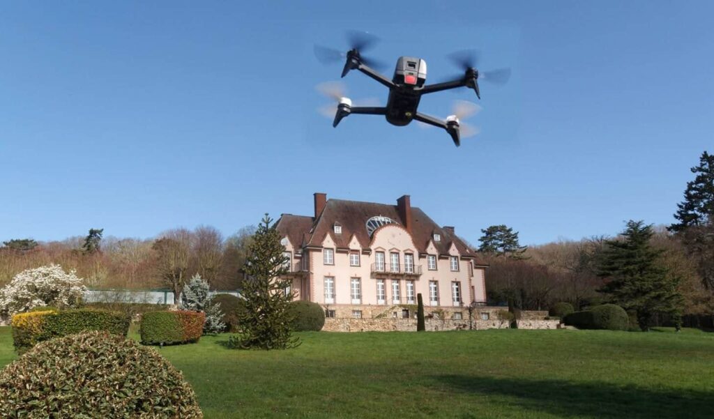
Pix4D has released the following article detailing how drones and photogrammetry are changing the insurance industry:
Drone-based photogrammetry, popularly known as drone-mapping, helps optimize insurance-related processes, speeding up and reducing the cost of surveys for risk assessment and claims management. Drone-mapping also adds accuracy, while at the same time reducing the risk of fraud and improving the customer experience, with tailored premiums and faster claim resolutions. In their report Clarity from above, PricewaterhouseCoopers (PwC) estimated that drone-powered solutions like photogrammetry-based surveying, could help the insurance industry save as much as $6.8 billion USD per year.
With a drone and Pix4D solutions, it is possible to automate drone flights to capture images and transform them into 2D maps and 3D models that insurers can use to document the initial state of property, infrastructure or agricultural assets, and assess and quantify damage once a claim is raised.
Insurance companies can use drone-mapping to generate a snapshot of an object or site, capturing its initial state before a policy is issued.
“Traditionally we had a team, manually, physically measuring everything on site, building heights, widths, distances to neighboring buildings, distances to hazards, like rivers and, it would had taken hours. Now with a drone and Pix4Dmapper Pro, in minutes, we can get an orthomosaic and a 3D model, where we can measure these distances and even the windows, to quantify what is actually on site, identify risks, calculate premiums, and ultimately provide clients with guidance on how to mitigate the risks that they are exposed to.
Some of the buildings we insure are churches, tall buildings with steeples, traditionally very hard to get to and very expensive to inspect. With drones and Pix4D software, we can now quickly and safely access difficult places and obtain information we could not easily get. We are looking at savings in time, anywhere from 25 to 50%, and the data is more accurate than what we used to obtain manually,” said Mathew Holland, Customer Risk Solutions Advisor – Technical Lead & Chief Remote Pilot at Ansvar Insurance Australia.
Insurance companies can assess damage quicker and more efficiently with drone operations. “We had a storm claim, where the property was a church with a 30 meters tower, traditionally, documenting and quantifying the damage would have taken a couple of days, a couple of cranes, we would probably have closed a few roads off, and probably cost us $15,000. With a drone, a laptop and Pix4Dmapper Pro, a drone flight and a quick processing on site, in a couple of hours, we had all the information we needed to make a decision on the claim,” added Holland.
Drone mapping is safer, and reduces the risk of work related personal injuries and the risk of damaging client’s property while performing inspection operations. It also reduces the risk of fraud. According to the Insurance Information Institute, fraud comprises about 10% of property & casualty insurance losses and loss adjustment expenses every year. This statistic translates to property-casualty fraud that amounts to about $32 billion each year.
Data gathered by drones can be used to improve claims management by checking the initial state of a property and its condition after a reported incident, providing incontestable documentation and reducing the risk of fraud.
Drone-based operations benefit customers with a more personalized and faster service, translated into tailored prices, and faster claim resolutions.
Drone-mapping enables personalized premiums. PwC believes drones could be used to better calculate insurance premiums by assessing risks that can’t currently be assessed efficiently – essentially, premium calculation much more closely correlated with real threats. By assessing risks better than ever before, insurance companies will be able to set premiums more accurately, ultimately increasing customer satisfaction.
Concretely, drone-gathered data could be used to confirm the existence of features that make properties less risky to insure, such as storm windows, or a neighbourhood gate.
In summary, drone-mapping speeds up inspection, reduces inspection costs, minimizes operational risks, provides incontestable documentation and at the same time enables faster and more personalized service, benefiting both, insurance companies and their clients.


