


The use of LiDAR sensors to create 3D replications of an environment is growing at an astounding rate. From autonomous vehicle aiding and road safety, to coastal erosion monitoring, there is an almost endless number of applications and benefits that 3D maps, or pointclouds as they’re also known, can offer.
Surveyors though need to ensure that these pointclouds are as accurate as possible. Failure to do so can render the pointcloud unusable, wasting valuable time and resources.
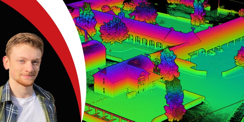
Join Jacob Amacker, Product Engineer at OxTS as he discusses how to get the best pointcloud precision and improve accuracy.
During the webinar Jacob will cover several key topics including:
- Why IMU and GNSS accuracy is important for pointcloud precision
- How using a Boresight Calibration can have significant benefits on pointcloud results
- Why using accuracy diagnostics to estimate the uncertainty in pointcloud point precision is key to survey decision making.
This session will be presented live on:
Tuesday, 13th July 2021 – 14:00 hrs (BST)
Please click here to register.
There is no charge for this service, and we will share a recording of the webinar with everyone who has registered.


