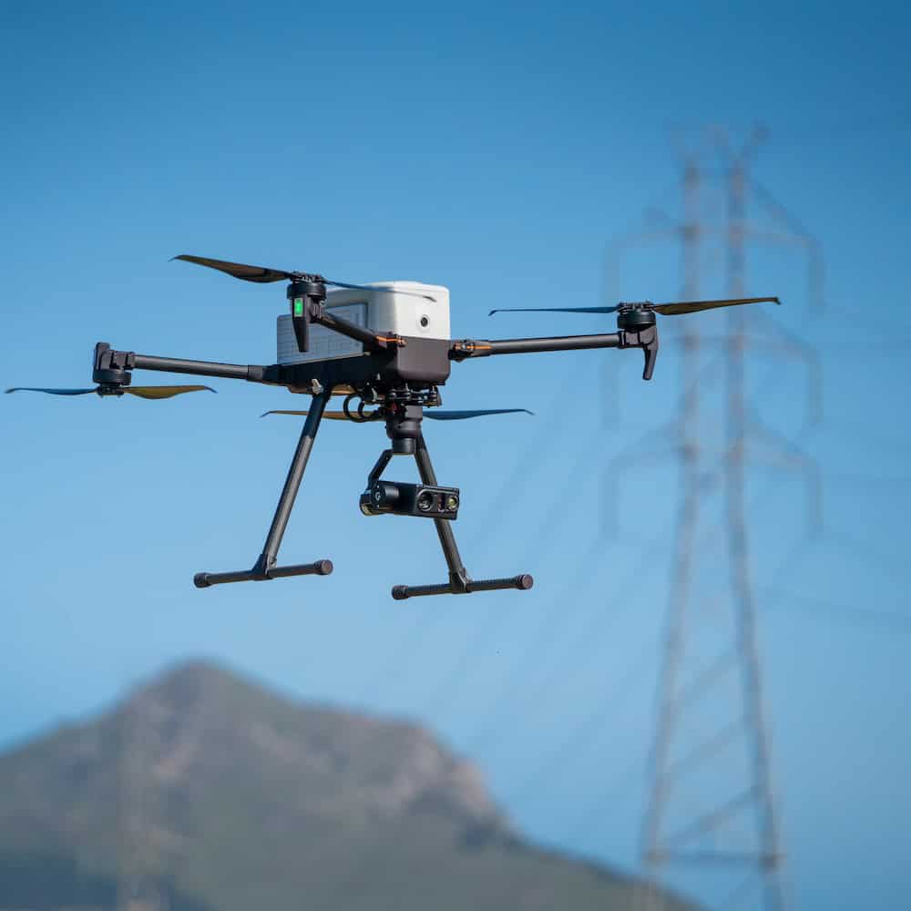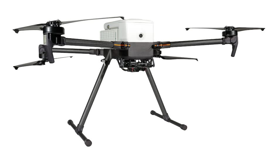
In the article Mapping Water Quality from Above, Inspired Flight presents a detailed account of a study conducted in southern Brazil, where UAVs, specifically the Inspired Flight IF1200, were used to support water quality monitoring.
Researchers from Brazilian institutions deployed the drone in the São Gonçalo Channel to collect high-resolution spectral data, addressing limitations associated with traditional satellite imagery and manual sampling. Key monitoring sites included river discharge zones, industrial areas, and estuarine environments.
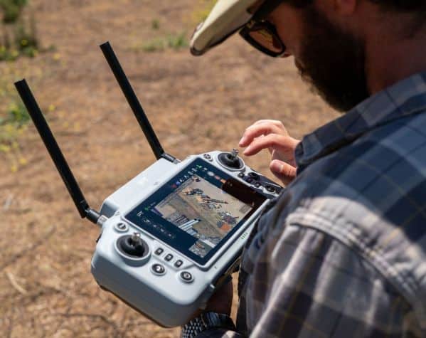
The UAV was equipped with advanced sensors including the RedEdge-MX multispectral camera, OceanOptics USB-650 hyperspectral radiometer, and DLS2 downwelling light sensor, enabling near real-time data collection. Operating between 50 and 80 meters altitude, the IF1200’s spectral readings were validated against Sentinel-2 satellite imagery and in-situ radiometer data, confirming comparable levels of accuracy. The team noted the advantage of acquiring timely water quality data without depending on satellite availability.
To ensure consistency and accuracy, the data was processed using a structured workflow involving the DroneWQ Python package. This included sun-glint removal using the Hedley Method, atmospheric correction via ACOLITE, and application of algorithms such as Dogliotti et al. (2015) for turbidity estimation and CDOM assessments. Cross-validation with satellite and in-situ data yielded a mean absolute percentage error of just 15%.
The article also outlines practical applications of this UAV-based approach in areas such as environmental monitoring, industrial regulation, and disaster response. By combining drone technology with multisensor payloads and algorithm-based data analysis, the study presents a flexible and responsive method for water quality assessment. As environmental data demands increase, this approach offers a tool for informed decision-making across research, industry, and policy domains.