DeTect, Inc., a leading developer of unmanned aerial vehicle (UAV) and drone detection systems, has expanded its application of radar technology into offshore wind energy research.
Known for its advanced tracking radar and remote sensing technologies in the unmanned systems sector, DeTect has a history of providing solutions for monitoring, defense, and tracking of UAVs.
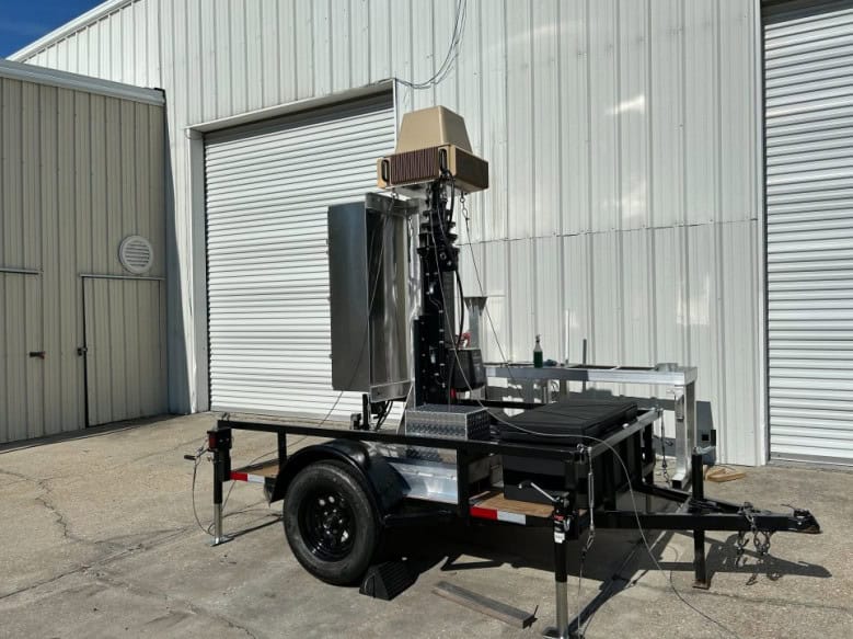
DeTect’s core expertise lies in drone detection radars, which are deployed globally for security and surveillance applications. These systems are integral to long-range monitoring of Ground-Based Detect and Avoid (GBDAA) Beyond Visual Line of Sight (BVLOS) drone operations.
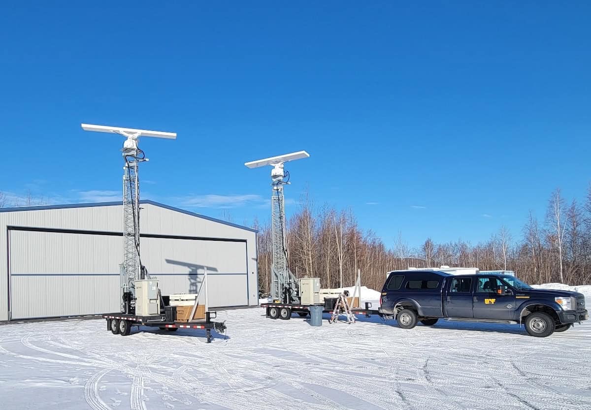
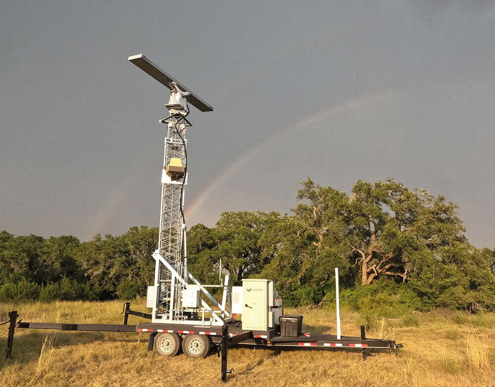
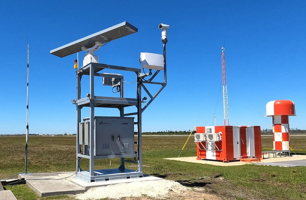
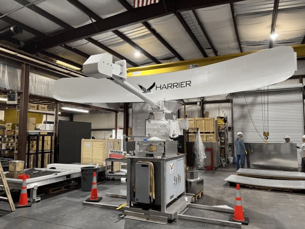
The company has also developed the MERLIN True3D BDR-DDR, a dual-function radar system for both counter-UAS and avian control, with applications in protecting commercial airports and military airfields.
Building on this foundation DeTect has now deployed the MERLIN True3D Radar for offshore wind energy research. This adaptation demonstrates the versatility of UAV detection technology in addressing broader environmental challenges.
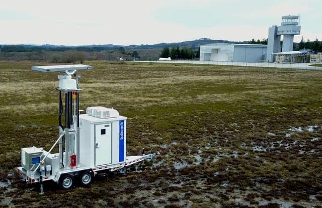
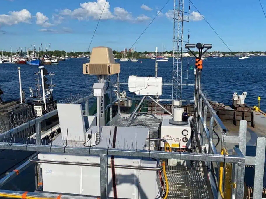
The radar system has been modified for the Wind Forecast Improvement Project (WFIP3), a multi-agency initiative involving the U.S. Department of Energy, National Oceanic and Atmospheric Administration, Woods Hole Oceanographic Institution, and Pacific Northwest National Laboratory. The 18-month project aims to gather meteorological, oceanographic, and biological data near offshore wind farms in the Northeast United States.
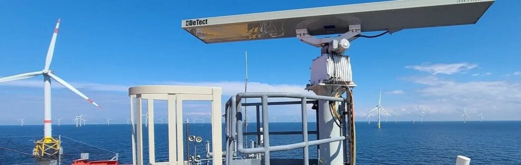
Designed to handle the complexities of collecting avian and bat movements while compensating for the dynamics of being on a moving platform, the radar system is coupled with an electronic stabilization system that is designed for the dynamics of the ocean environment; correcting the collected track data in real-time data to compensate for heading, roll, pitch, and yaw.
A full 360 degree system with track updates of 4 timers per second, the system collects critical information on the positional and altitudinal information of airborne targets collecting valuable data on the bird/bat flux rates as well as wildlife movement patterns and associated altitudes.
Designed for offshore vessel and buoy deployments it can be integrated with radar-directed electro-optic, infrared (EOIR) camera systems and is available in fixed or mobile configurations.
The data collected is expected to contribute to the optimization of offshore wind turbine and wind farm design and operation, balancing energy production with wildlife conservation efforts.