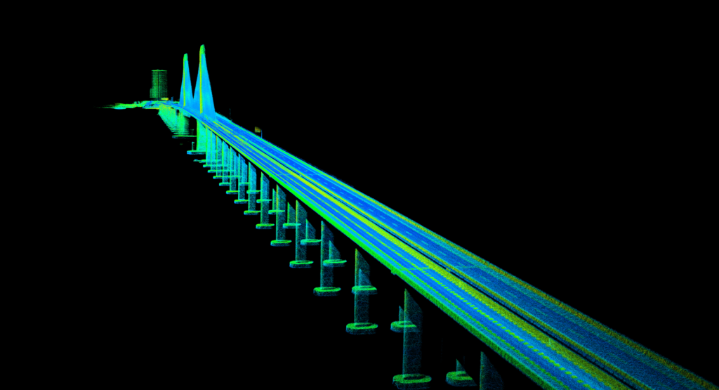
Inertial Sense, a provider of micro inertial navigation solutions for UAVs (unmanned aerial vehicles) and autonomous systems, has released a case study highlighting its customer Livox LiDAR. Livox develops advanced sensors for survey projects and autonomous vehicle platforms, and required a way of integrating high accuracy INS data into a LiDAR sensor for use in harsh environments.
Read the full case study on Inertial Sense’s website
The case study gives details of:
- Compensating for in-flight vibrations
- The Inertial Sense µINS solution – a GNSS-aided Inertial Navigation System (GNSS-INS)
- How Livox improved final data point accuracy, building a detailed 3D aerial map of the entire Huizhou Bay Bridge
To find out more about improving the accuracy of 3D aerial LiDAR mapping with GNSS-aided inertial navigation, read the full case study on Inertial Sense’s website.


