


Discover World-Leading Unmanned and Autonomous Technologies
Discover cutting-edge solutions from leading global suppliers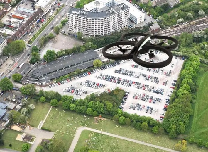
The map is designed for commercial operators of UAVs and includes “no fly zones”, areas where further advice should be sought as well as areas where no restrictions on flying are currently in place.
“The UAV industry is rapidly expanding with new operators offering a wide range of services launching every day,” commented James Eddy, Technical Director at Leicestershire based Bluesky. “With nearly twenty years’ experience in planning large scale aerial surveys, combined with some of the most up to date and accurate geographic data and advanced processing techniques, we have been able to produce this prototype map. It is, however, designed just as a guide to where you can and cannot fly, so UAV operators should still check with the appropriate authorities.”
Currently operators of UAVs in the UK must comply with Civil Aviation Authority (CAA) regulations if they plan to undertake “aerial work”, while those equipped for data acquisition and/or surveillance must obtain permission before “commencing a flight in a congested area or in proximity to people or property”. An overriding, all-encompassing CAA Article also provides guidance in that a “person must not recklessly or negligently cause or permit an aircraft to endanger any person or property”, while other restrictions cover the dropping of articles or animals, minimum distances when flying near people or properties, and references to the Data Protection Act.
Bluesky’s UAV Flight Restriction Map is designed to provide a “first stop” reference for commercial operators of UAVs in addition to CAA guidelines. The colour coded map uses a traffic light system to identify different zones: no fly zones in red, areas close to no fly zones where further advice should be sought in amber, and “Free Fly” zones in green. This easy to use resource takes into consideration population densities based on small scale postcode units, and congestion based on road location and type. The Bluesky UAV Restriction Map also considers the location and impact of aerial obstacles, such as overhead power lines, and restricted airspace including no fly zones around airports.
The launch of the prototype UAV Flight Restriction Map by Bluesky follows attempts around the world to develop control systems for commercial UAV deployments. NASA, working with the Federal Aviation Administration (FAA) with input from government, industry and academic partners, has recently announced plans to develop a UAS Traffic Management System (UTM) that will keep track of and communicate important information to UAS operators in real time.


