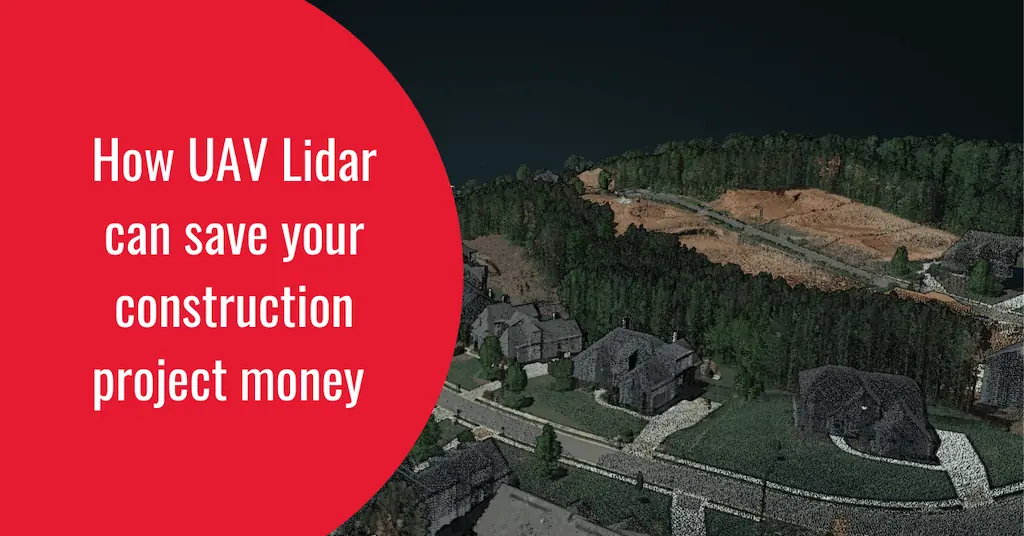
Phoenix LiDAR understands that for years, drone LiDAR has been disrupting various industries. The construction industry, however, may have seen the greatest potential for drone technology of all, with its lengthy and complex process involving multiple tasks and phases. Read more >>
Early adopters saw the potential for drones to improve efficiency and safety, streamline old processes, and cut costs, but there are still many untapped use cases for engineering and construction firms.
In this article, Phoenix LiDAR focuses on how drone LiDAR can be used in the design, building, and delivery phases of a construction project, asserting that some of the best LiDAR for on-site are:
Recon XT – for fast compact survey solution. This can be easily transported to a job site and set up by one person.
MiniRanger 3 – for those that need to comply with USGS or other federal regulations, this Made in the USA sensor offers the minimum 3 returns with 20mm of precision.
Ranger LR – However some grading jobs need more precision. The ranger LR has 15mm of precision.
The company goes on to outline:
- Using Drone LiDAR in Design & Engineering
- Drones on the Construction Site
- Using Drones for Safety and Compliance
- The Future of Drones in Construction
The use of drones in construction is an exciting development that promises to transform the industry in many positive ways. From improving safety and efficiency to reducing costs and increasing productivity, the benefits of drones are clear.
Read the full article, or visit the Phoenix LiDAR website to find out more.


