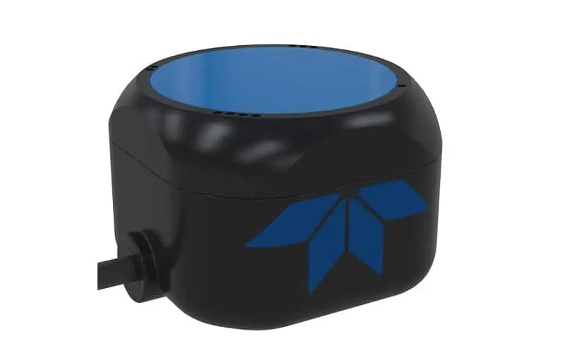
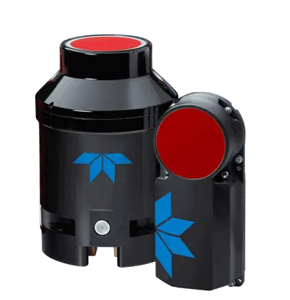
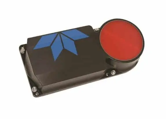
Doppler Velocity Log (DVL) systems are underwater acoustic sensors that measure three-axis vehicle velocity relative to the seabed or surrounding water. Used on AUVs, ROVs and other unmanned underwater vehicles, they support bottom tracking, altitude measurement, terrain following and precise low-speed maneuvering.
This page features leading AUV and ROV DVL manufacturers delivering compact, high-accuracy solutions for subsea navigation and positioning.
If you design, build or supply Doppler Velocity Logs (DVL), create a profile to showcase your capabilities and connect with visitors who have an active requirement for your solutions.
Overview of Doppler Velocity Logs for AUV & ROV Navigation
Overview by
William Mackenzie
Updated:
Introduction to AUV & ROV Doppler Velocity Logs
A Doppler Velocity Log (DVL) is an underwater acoustic sensor that measures a vehicle’s three-dimensional velocity relative to the seabed or a specified volume of the surrounding water column. Operating on the principle of the acoustic Doppler shift, the instrument transmits high-frequency acoustic pulses along several angled beams and analyzes the frequency shift in returning echoes to calculate relative motion. Most standard systems utilize a four-beam Janus configuration to resolve this motion, providing built-in measurement redundancy and, in systems that support three-beam operation, allowing a three-axis velocity solution to remain available if one beam is temporarily blocked or produces an invalid return.
For Autonomous Underwater Vehicles (AUVs) and Remotely Operated Vehicles (ROVs), a DVL provides the continuous, high-rate velocity updates needed to limit the position drift of an Inertial Navigation System (INS) and support automated station keeping. Although it is a highly accurate relative motion sensor, a DVL is not an absolute positioning tool, meaning that cumulative position drift must still be corrected periodically using Global Navigation Satellite System (GNSS) surface fixes, terrain-relative navigation, or acoustic positioning networks.
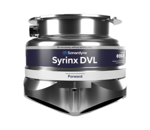
Syrinx DVL Doppler Velocity Log & Acoustic Doppler Current Profiler by Sonardyne International
Core Functions of a DVL
Seabed-Relative Velocity Measurement
Bottom tracking is the primary operational mode used for subsea navigation, measuring the vehicle’s velocity over ground relative to the assumed stationary seabed. This allows the navigation computer to integrate velocity over time and calculate spatial displacement. Bottom-track availability depends on keeping the seafloor within the operational acoustic range of the instrument and obtaining sufficient acoustic returns.
Water-Relative Velocity Measurement
When the seabed is too deep to reach, the sensor tracks suspended particles and biomass within the water column to estimate velocity relative to the surrounding water mass. While water tracking can provide a continuous velocity stream to assist inertial filters, using this measurement for dead reckoning without accounting for ocean currents will introduce cumulative position errors over time. Navigation software must carefully distinguish between these reference modes to apply correct error modeling.
Three-Axis Vehicle Velocity
By combining measurements from at least three divergent acoustic beams, the DVL resolves complex motion into longitudinal, lateral, and vertical velocity vectors. This mathematical conversion requires precise physical alignment during system installation. Any uncompensated mounting offsets can cause the navigation filter to mistake forward motion for lateral or vertical translation.
Seabed Range and Vehicle Altitude Measurement
In addition to velocity, the DVL measures the acoustic time of flight along each beam to determine the slant range to the boundary. The onboard processor uses these ranges and the known beam geometry to calculate an altitude measurement representing clearance above the seafloor. This altitude data complements surface-referenced pressure depth to enable safe landings and terrain-following maneuvers.
Bottom-Lock Acquisition and Tracking
Establishing a bottom lock requires the sensor to identify a stable acoustic return from the seafloor and adjust its processing windows. The DVL actively tracks changes in altitude while running search and validation routines to avoid locking onto false targets. If lock is lost due to steep terrain, weak returns, or aeration, the navigation computer must seamlessly switch to alternative sensor inputs.
AUV & ROV Capabilities Enabled by DVL Data
DVL-Aided Long-Endurance Navigation
An Inertial Navigation System (INS) provides high-rate motion and attitude estimates, but its position errors accumulate over time. By feeding the INS frequent, high-accuracy velocity updates whenever a valid bottom track is available, a UUV DVL helps bound velocity-related drift. This integration allows UUVs to execute long-distance missions with less frequent need to surface for GPS updates.
Terrain Following and Altitude Control
Maintaining a safe distance from the seafloor is vital for subsea mapping, imaging, and bathymetric surveys. The autopilot uses real-time altitude and vertical speed updates from the DVL to adjust thrusters and follow the contours of the seabed. This closed-loop control minimizes the risk of collisions while keeping payload sensors within their optimal operating bands.
ROV Station Keeping and Dynamic Positioning
An ROV DVL detects small vehicle movements caused by currents, tether drag, or manipulator movement. The vehicle’s flight controller uses this high-resolution velocity feedback to command counter-thrust, helping the platform maintain a stable seabed-relative position when combined with heading, depth, and navigation estimates. This automated hold gives pilots the stability required for complex subsea maintenance tasks.
Precise Low-Speed Maneuvering
Executing delicate tasks like docking or pipeline inspections requires extremely controlled, low-speed translation. The DVL provides direct, low-noise feedback of lateral and vertical velocities, allowing autopilot systems to manage fine spatial adjustments. This automated precision supports safe operations close to sensitive subsea infrastructure.
Pilot Assistance and Relative-Motion Display
When poor visibility or a featureless seafloor deprives pilots of visual reference points, real-time DVL data delivers essential spatial awareness. Displaying speed, drift direction, and altitude helps operators maintain control in challenging environments. Furthermore, a Doppler Velocity Log (DVL) for autonomous ships can support precise docking and harbor maneuvering where the seabed remains within bottom-tracking range.
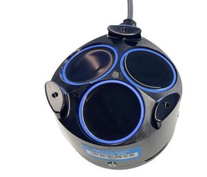
Tracker 650 DVL by Cerulean Sonar
Integration with Complementary Navigation Sensors
To construct a reliable, high-precision navigation system, a DVL must be integrated alongside a suite of complementary subsea instruments.
Inertial Measurement Units and Attitude Sensors: Provide high-rate attitude and motion data used to coordinate DVL measurements, while the navigation filter uses DVL velocity updates to limit inertial drift.
Depth Sensors and Pressure-Based Vertical Positioning: Supply a vertical reference relative to the water surface, helping distinguish vehicle depth changes from variations in seabed terrain.
Magnetic and Gyroscopic Heading Sensors: Provide the geographic heading required to project body-referenced DVL velocities into real-world coordinates.
GNSS Position Updates at the Surface: Deliver absolute coordinates to initialize the subsea navigation filter and correct accumulated position errors.
USBL and LBL: Provide acoustic position updates via Ultra-Short Baseline (USBL) or Long Baseline (LBL) systems to correct long-term drift, while the sensor-fusion filter combines them with high-frequency DVL velocity measurements.
Imaging Sonar and Multibeam Sonar Integration: Use the integrated DVL-aided navigation solution to georeference acoustic imagery, requiring careful frequency and transmission planning to minimize crosstalk.
Combining these diverse sensor streams allows subsea vehicles to maintain robust navigation coverage across changing environments and operational depths.
Key ROV & AUV DVL Performance Specifications
When evaluating options from Doppler Velocity Log (DVL) manufacturers, engineers must analyze several overlapping technical specifications. The following condensed table highlights the critical parameters that dictate operational performance:
Specification
Technical Meaning
Integration Importance
Velocity Accuracy
Closeness of the reported velocity to true speed, often expressed as a percentage of measured velocity plus a fixed offset.
Determines the rate of position drift during dead reckoning.
Velocity Precision
Statistical random variation observed in repeated measurements under steady conditions.
Affects the smoothness of flight control loops and INS filter tuning.
Bottom-Track Range
Minimum and maximum altitude limits for maintaining seabed lock.
Defines the vertical operational envelope of the vehicle.
Minimum Tracking Altitude
The closest distance to a boundary at which velocity can be calculated reliably.
Critical for landing, docking, and confined space operations.
Update Frequency
The rate at which new velocity data packets are delivered.
High output rates improve autopilot stability and responsiveness.
Measurement Latency
Time delay between the physical acoustic measurement and data availability.
Uncompensated latency can destabilize high-speed control loops.
Depth Rating
Maximum hydrostatic pressure the sensor housing can withstand.
Defines the physical limits of the vehicle’s dive profile.
Emerging ROV & AUV DVL Technologies
Recent engineering advances are expanding the capabilities and deployment options of Doppler Velocity Log (DVL) technology.
Miniaturized DVLs for Small AUVs and ROVs: Low-power, ultra-compact sensors that bring high-precision navigation to observation-class vehicles.
Integrated DVL-INS Navigation Units: Factory-aligned, single-housing systems that reduce calibration complexity and boresight alignment errors.
Adaptive Bottom-Tracking Algorithms: Dynamic processing that adjusts acoustic and signal-processing parameters in real time to maintain seabed lock over changing terrain.
Multi-Frequency Acoustic Processing: Dual-frequency designs that use lower frequencies for longer bottom-track range and higher frequencies for finer precision at shorter ranges.
These innovations continue to broaden access to advanced subsea navigation and support more capable autonomous ocean operations.
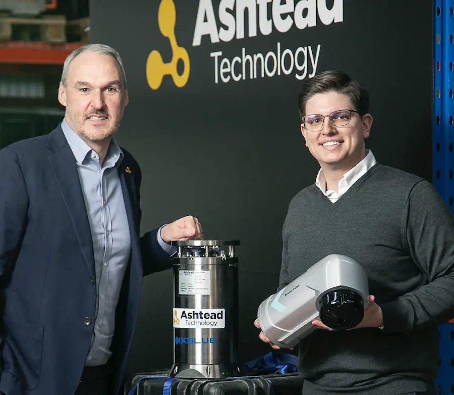
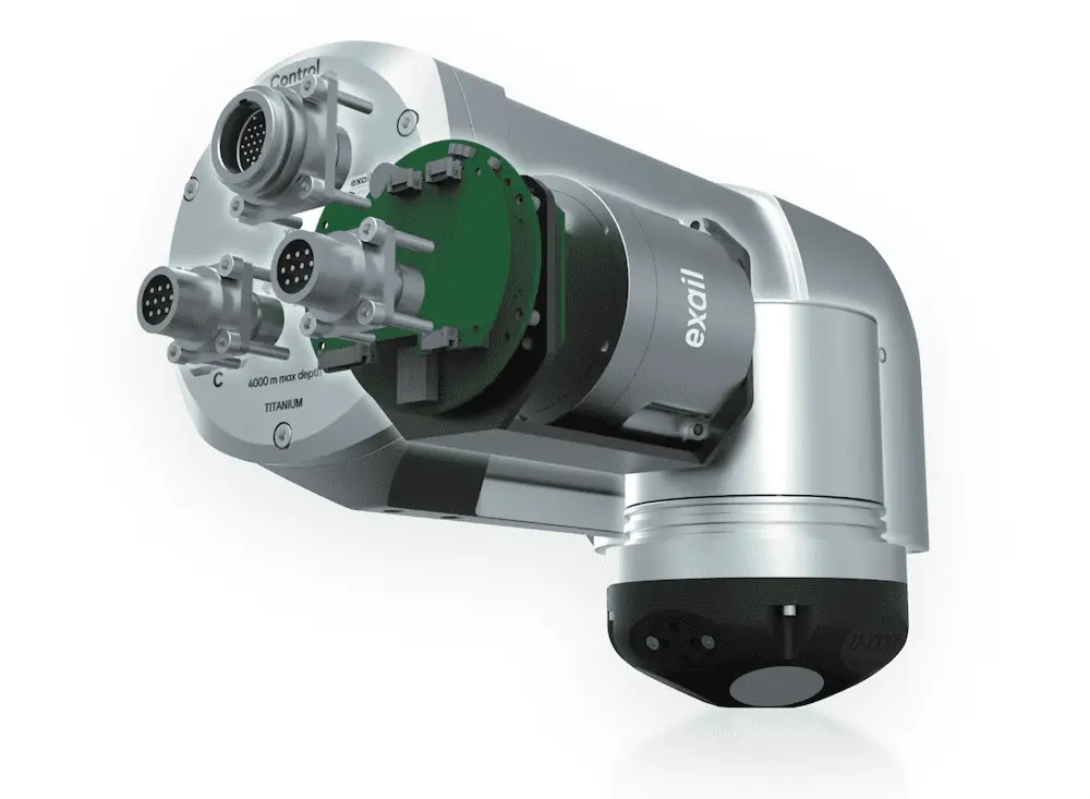
Ashtead Technology becomes the first rental company to adopt Exail's new INS/DVL technology, a high-performance navigation system that seamlessly integrates Inertial Navigation System (INS) and Doppler Velocity Log (DVL) functionalities
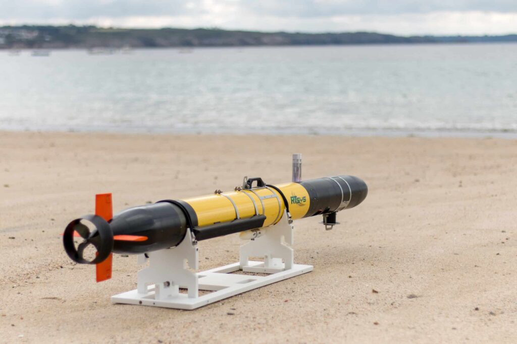
The continued cooperation between the two companies comes as demand continues to grow for RTsys’ range of specialist AUVs for scientific, industrial and defense applications
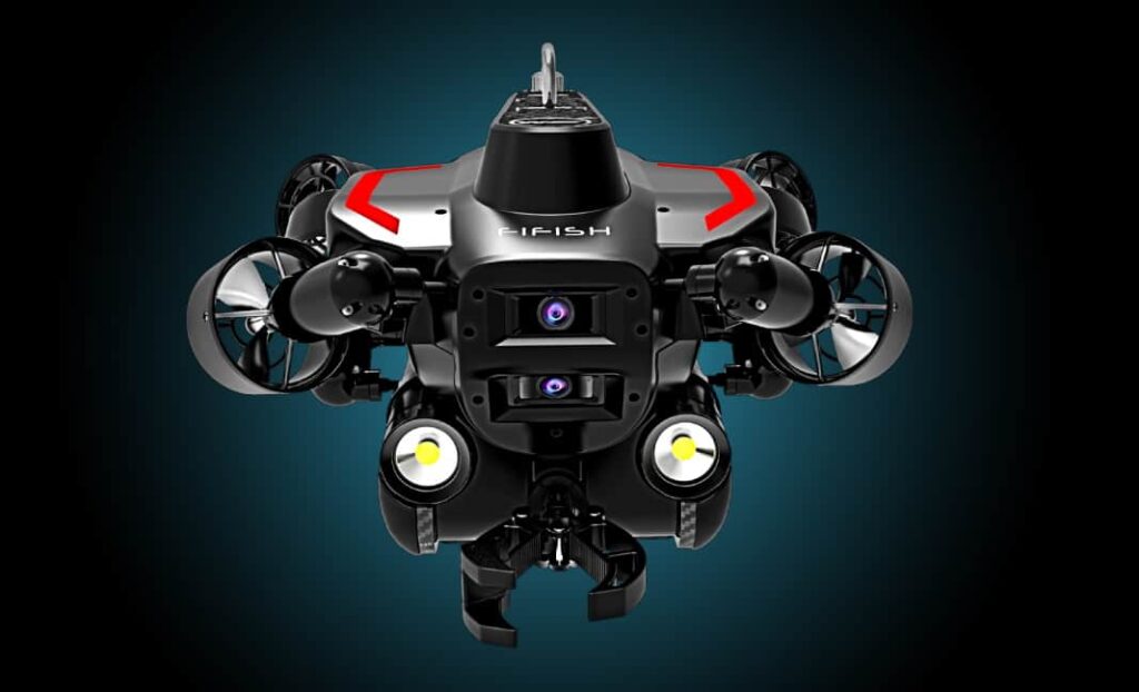
ROV manufacturer QYSEA has partnered with underwater acoustics specialist Water Linked to provide QYSEA’s Remotely Operated Vehicles (ROVs) with advanced...
Teledyne RD Instruments (TRDI) has announced the official launch of its ultra-compact 600 kHz Pathfinder Doppler Velocity Log (DVL). The...
Jun 19, 2017
Advancing Unmanned Systems Through Strategic Collaboration
UST works with major OEMs to foster collaboration and increase engagement with SMEs, to accelerate innovation and drive unmanned systems capabilities forward.