


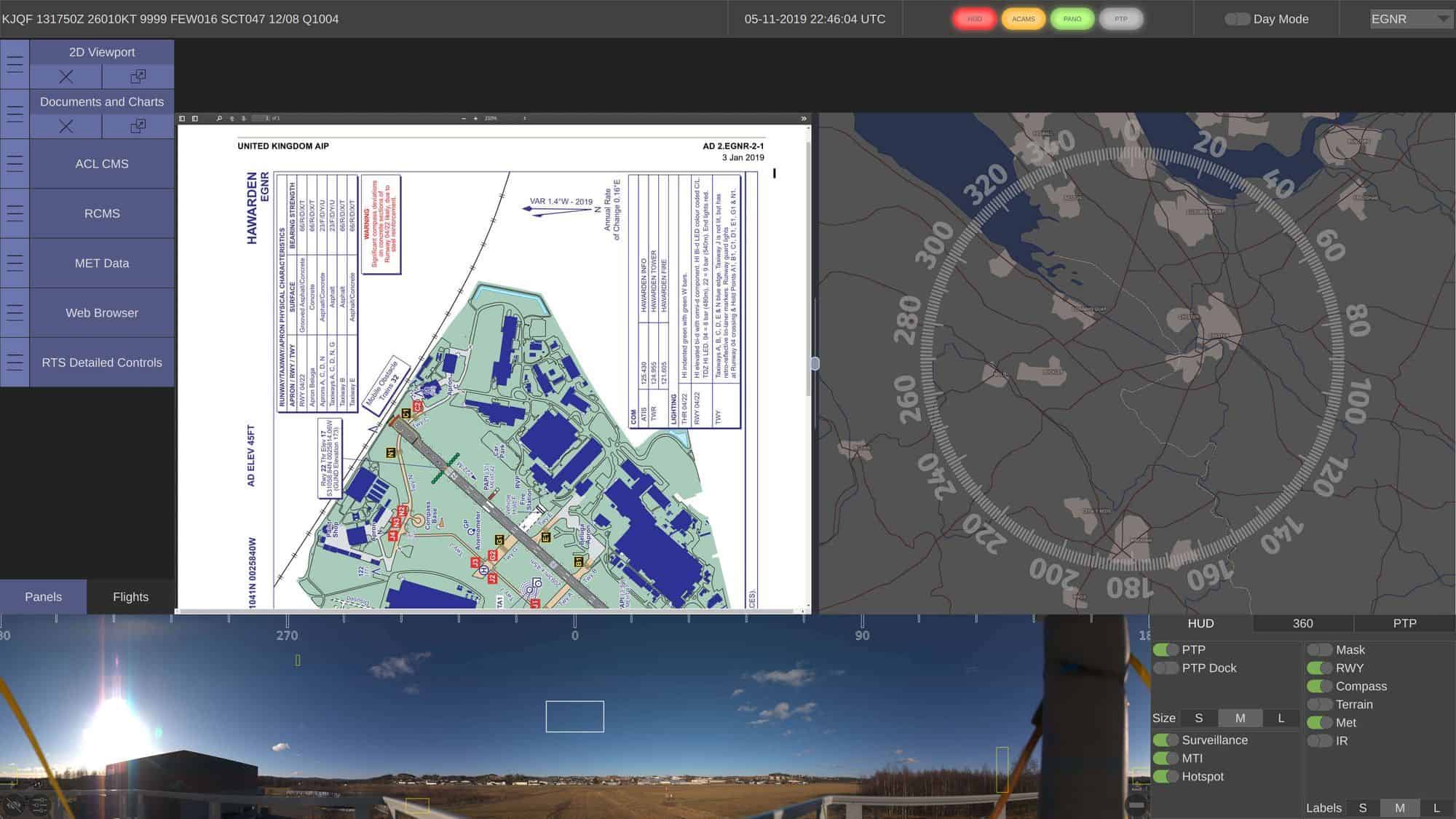

TerraLens is a powerful software development kit (SDK) that enables users to easily create professional real-time 2D and 3D geospatial mapping and data visualization applications. The software allows developers to layer map data with multiple sources of geospatial data, including real-time data feeds, databases, maps and images.
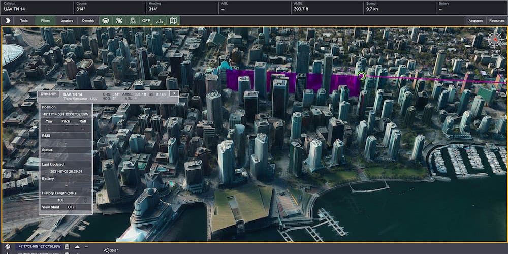
Developers can create unlimited 2D and 3D viewports, with plotting of up to 100,000 simultaneous tracks. The software supports most vector and raster map data formats as well as multiple coordinate systems.
Providing the most important features and capabilities without the need to develop a new display framework from scratch, TerraLens allows you to create applications in C++, Java, or C# and deploy them to a wide variety of platforms, operating systems, and form factors, including:
- Windows 10, 11
- Linux Red Hat 7,8,9,10; Ubuntu
- Architecture: x86, x86_64
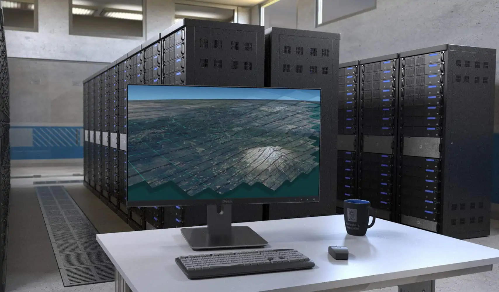
TerraLens Server is a versatile multiformat map server optimized to deliver content for TerraLens SDK-created applications to thin or thick clients via the Web Map Tile Service (WMTS) protocol.
Able to handle a wide array of terrain data and vector formats, TerraLens Server also includes an integrated MIL-SPEC 2525C symbol server.
TerraLens Server is ideal for a variety of UAV C2 (command and control) and military ISR (intelligence, surveillance, and reconnaissance) applications.
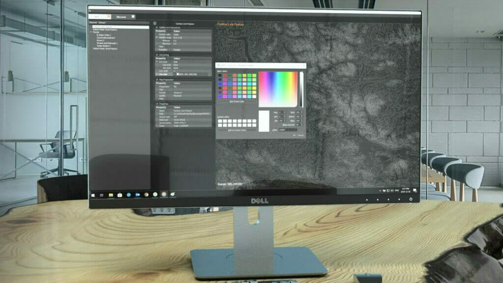
TerraLens CreatorTerraLens Creator allows users to quickly collate all map data and assets for a chosen geographical area or operational theatre in order to create convenient application packages and mission packs with maps at a desired level of detail. Users can also fully customize map presentation and styling, add custom markups and symbols, and define multiple themes or configurations for each map such as day and night versions.
TerraLens Creator includes an intuitive Asset Library Browser that makes it easy to locate and manage map assets. All related metadata is catalogued and stored in a database for convenient retrieval. Images, documents and videos can also be easily linked to map entities.
TerraLens 3DWebThe TerraLens 3DWeb is a JavaScript engine that allows developers to create powerful browser-based applications with the same fluid real-time performance as desktop software. Utilizing the same proven shader-based rendering technology developed for the TerraLens geospatial visualization engine, it enables visualization of 3D terrain, vector tile data, and high resolution raster data.
Developers can add tracks from real-time air or surface data feeds to their applications, add their own 2D symbology or 3D models, or use the included MIL-STD 2525 symbol generator.
Applications created with TerraLens 3DWeb can be deployed to multiple platforms and operating systems, including mobile devices, without the need for recompilation. The geospatial engine is ideal for mission-critical and military UAV applications such as C2 and situational awareness.


