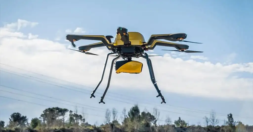
YellowScan discusses the use of flight planners in LiDAR surveys carried out using unmanned aerial vehicles (UAVs), expanding on the benefits and future directions of the technology in this field. Read more >>
Flight planners are software programs that enable planning, executing, and monitoring automated drone flights from a computer or mobile device. They typically include a list of settings and instructions that guide a drone through a flight mission.
Compared to manual flight planning, flight apps enable quick and accurate drone flight planning, allow a drone to function autonomously, and execute high-capacity work efficiently, accurately, and safely. This technology is one of the reasons why drone mapping offers significant advantages in terms of cost, speed, and accuracy, compared to traditional survey methods.
YellowScan also gives an overview of LiDAR and the precision required for data collection, with the full article going on to discuss:
- Introduction to Flight Planners
- The Benefits of Flight Planners in LiDAR Surveys
- Example of Features
- Optimising Data Accuracy and Flight Paths
- Seamless Integration of Flight Planners with LiDAR Systems
- Future Trends and Innovations
YellowScan encourages use of flight planners with drone LiDAR surveys, concluding that flight planners are crucial for optimizing LiDAR surveys for drones. These software applications provide a necessary tools for UAV pilots to plan and execute their flights with greater efficiency, accuracy, and safety.
Read the full article, or find out more on YellowScan’s website.


