The evolution of land navigation systems represents a critical advancement in military technology, offering autonomous positioning capabilities independent of external signals.
From early inertial systems to modern hybrid solutions, these technologies continue to adapt to emerging threats and operational requirements.
Historical Development
With the invention of inertial navigation, it became possible to create navigation systems that offered position data independently of optical communications connections and GPS data/signals. This held a number of advantages for military applications in particular, since the independence of external signals and magnetic influences enabled autonomous and permanent navigation.
The US-based Litton Industries group developed this technology for use and series production and was for a long time the leading manufacturer of these systems. In the early 1960s, LITEF navigation systems were manufactured in series for the first time in Europe. The design and performance of the systems used at the time in the Starfighter (LN-3) were so successful that successor systems (LN-12) were developed and produced for the Phantom of the German Luftwaffe and later for the Tornado.
Technological Evolution and Applications
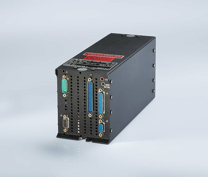
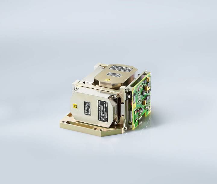
Based on this experience, LITEF has developed further generations of gyroscopes and accelerometers – the critical components of inertial navigation. In combination with the digital computers developed by LITEF, navigation systems emerged which have also been and continue to be successfully used for naval applications (submersible and surface), various armoured land vehicles, missile and stabilisation applications, and in military aviation on platforms such as the Eurofighter and the Tornado.
The Role of GNSS and Its Limitations
Knowledge of one’s own position and the direction to the target is the essential information needed for the orientation and guidance of surface and submersible vessels. At the same time, the introduction of the various military satellite navigation systems (GNSS) over the last 30 years has provided a new basis for the global self-positioning and has opened up the possibility of precise time synchronisation of radio and guidance systems.
However, GNSS cannot provide the required accuracy or availability if acting as the sole navigation component. A weakening of satellite signals due to geographical conditions or targeted interference – electronic warfare attacks (jamming/spoofing attacks) of the enemy – can lead to loss of knowledge of one’s own position and thus to termination of the mission.
Electronic Warfare Threats
GPS Jamming
GPS jamming refers to interference with or blocking of such things as signals of the satellite-based Global Positioning System (GPS). Due to the relatively low transmission power of the satellites and the orbit at an altitude of 2,000 kilometres above the earth’s surface, the GPS signals can only be received with a very low field strength. Therefore, even interference signals with a relatively low field strength can impair the reception of the GPS satellite signals.
GPS Spoofing
GPS spoofing refers to the emission of interference signals which imitate the GPS signal. The aim here is not only to interfere with the reception of GPS signals, as is the case with GPS jammers, but to deceive GPS receivers in such a way that incorrect positioning information results – ideally, incorrect position data that cannot be easily detected by the receiver without additional and GPS-independent navigation.
Current Challenges: The Baltic Region Case Study
At the end of last year, the frequency of electronic warfare attacks also increased in the Baltic region, which also extended to Mecklenburg-Western Pomerania and Brandenburg. An analysis of the data showed a new scope: the current disturbances appear to have begun to rise in intensity in mid-December and extend almost over the entire south-eastern Baltic Sea between southern Sweden, the Baltic region and Poland, and extend to the island of Rügen in the west.
Technological Solutions and Future Outlook
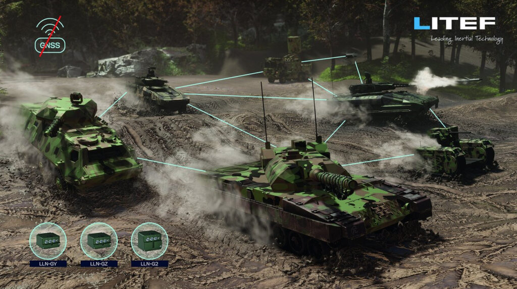
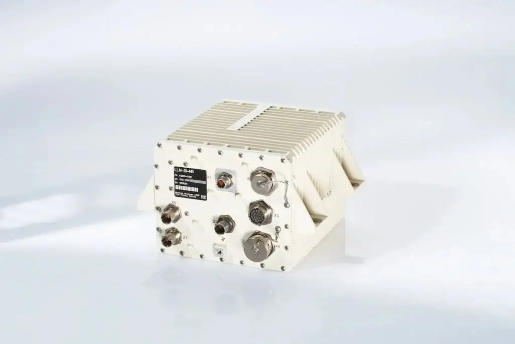
New navigation algorithms are also constantly being incorporated into existing product lines to meet changing mission requirements. With the introduction of a special variant of the proven land navigation system LLN-G1 in the LEOPARD 2 A7V, the Bundeswehr’s armoured corps are enabled to counter the growing threat of deliberate falsification of the GNSS position (spoofing).
The future integration of further sensors, the application of artificial intelligence, autonomous platforms and methods from the field of functional safety and security give reason to expect further improvements, especially for the development of future land systems.