


Drone LiDAR
Discover cutting-edge solutions from 4 leading global suppliers
SUPPLIER SPOTLIGHT

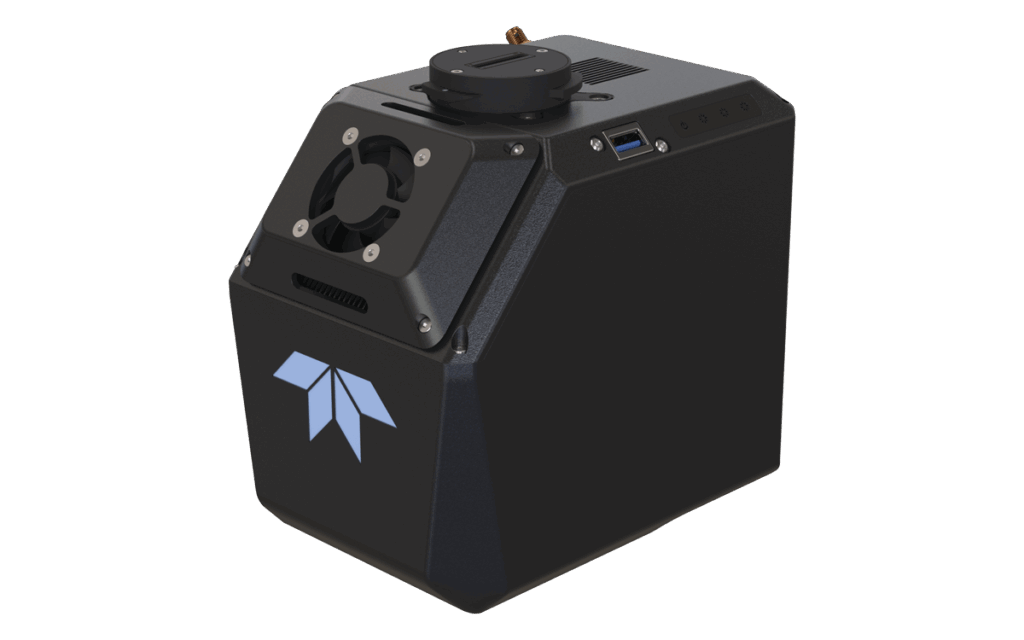
MiniRANGER-LITE
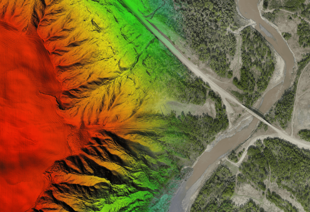
Phoenix LiDAR has released a case study detailing how the implementation of its RANGER LiDAR solutions in pipeline surveys expanded project scope capabilities for Canada-based Measurement Sciences Inc. (MSI).
MSI uses Phoenix LiDAR systems to detect small topographical changes on the order of 5cm. LiDAR enables the team to produce a much more detailed pipeline profile than traditional methods, and increases the number of completed surveys within a short fair-weather window.

RANGER-XL


