High-Resolution & Long-Range LiDAR for Airborne Surveys & 3D Mapping

Case Study: LiDAR Sensors for Wide Area Mapping Pre-Construction Survey

Feature Article by Phoenix LiDAR
Follow UST

RANGER XL Airborne laser scannerPhoenix LiDAR has released a case study detailing how its RANGER XL airborne laser scanner was used by SkySkopes to complete a wide area mapping pre-construction survey in the foothills of the Rocky Mountains.

Download the full case study here>

The case study covers:

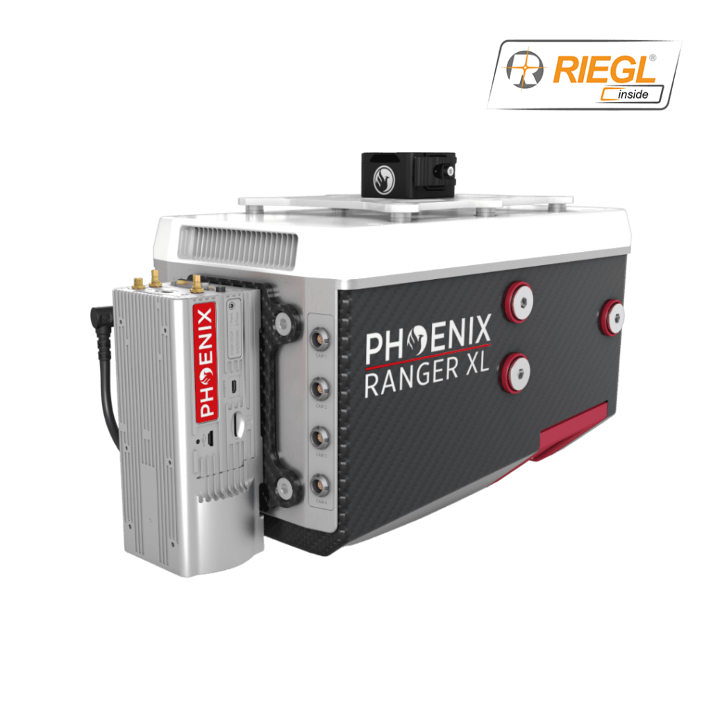
  • RANGER XL’s ability to map large areas while penetrating dense foliage
  • How the RANGER XL was utilized with a Bell 407 helicopter
  • The successful results achieved by SkySkopes

To find out more about Phoenix LiDAR’s adaptable mapping solutions for unmanned aircraft, rotorcraft, and fixed wing platforms, download the full case study here.

To learn more, contact Phoenix LiDAR: Visit Website Send Message View Supplier Profile
Posted by Caroline Rees Caroline co-founded Unmanned Systems Technology and has been at the forefront of the business ever since. With a Masters Degree in marketing Caroline has her finger on the pulse of all things unmanned and is committed to showcasing the very latest in unmanned technical innovation. Connect & Contact