


Kongsberg Geospatial has launched TerraLens 9.4, the latest version of its geospatial software development toolkit.
TerraLens 9.4 comes with a host of new features and enhancements, designed to empower developers and engineers in creating exceptional geospatial visualization applications for high-performance applications.
TerraLens has found applications in some of the most demanding and critical scenarios globally, including AEGIS, Triton, THAAD, NATO AWACS, and the Joint Battle Command-Platform.
TerraLens 9.4 provides significant improvements in areas of:
- Map and elevation formats
- Visualizations
- Compiler and operating system support updates
- New map formats
- Performance enhancements
Map and elevation formats
Lidar Elevation Data: TerraLens 9.4 now offers support for displaying LiDAR as elevation data, enabling users to work with highly detailed and accurate elevation information.
ECRG (Enhanced Compressed Raster Graphics, used by the US Military): The enhanced support for ECRG ensures more efficient utilization of raster graphics, providing users with enhanced visual clarity.
Improved Web Map Support: TerraLens 9.4 delivers improved support for web maps, including Web Map Service (WMS) and Web Map Tile Service (WMTS), ensuring seamless integration with various mapping resources.
Visualizations
Heat Map Density Display: The new heat map density display feature offers a flexible and intuitive way to visualize data density on maps, providing developers with valuable tools for enhanced situational awareness.
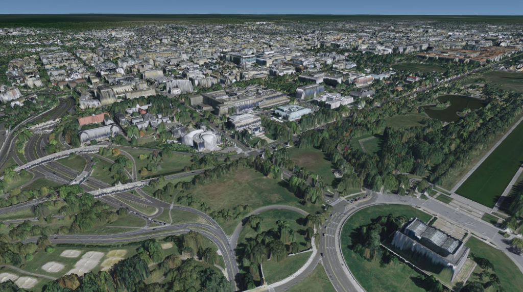
High-Resolution Data: TerraLens 9.4 supports high-resolution and data-intensive formats through OGC3D Tiles and Point Cloud displays, making it especially suitable for creating captivating urban visualizations.
Symbology Support: This release incorporates support for MIL-STD-2525D and APP-6B symbol sets, ensuring compatibility with the latest military symbology standards.
Optimized Radial Grid: TerraLens 9.4 introduces an optimized Radial Grid, designed to leverage the GPU for real-time updates of large numbers of data points, while maintaining memory efficiency.
Compiler and Operating System Support Updates
Visual Studio 2022 and .Net 6: TerraLens 9.4 now supports Visual Studio 2022 and .Net 6, providing developers with the latest development environment options.
RedHat 9 with GCC11.2.1: This release also includes support for RedHat 9 with GCC 11.2.1, ensuring compatibility with a broader range of operating systems.
New Map Formats
S-101 Electronic Navigational Chart Support: TerraLens 9.4 introduces support for S-101Electronic Navigational Charts (ENC), defined by the International Hydrographic Organization (IHO). This dynamic format is set to succeed and ultimately replace the S-57 ENC format.
netCDF and GRIB Data: The SDK now supports netCDF and GRIB data formats, expanding the options for working with geospatial data.
MBTiles and Terrain RGB: TerraLens 9.4 includes support for MBTiles and TerrainRGB, making it easier to access and utilize these data formats from the MapTiler server.
Performance Enhancements
Multithreading: TerraLens 9.4 optimizes map processing with multithreading, resulting in faster loading and visualization. These improvements ensure a smoother and more responsive experience for users.
According to Kongsberg Geospatial, the TerraLens 9.4 continues the company’s commitment to providing state-of-the-art geospatial tools to engineers and developers.
President Jordan Freed, said; “The TerraLens team has once again demonstrated the spirit of innovation and determination with the evolution of the map engine that has repeatedly proven itself to be the industry leading solution for geospatial applications that enable mission critical decisions. We are proud of our legacy and excited for the future as we celebrate 9.4 while continuing to push the envelope to define what comes next.”
For more information about TerraLens 9.4 and how it can benefit your geospatial development projects, visit: www.kongsberggeospatial.com.


