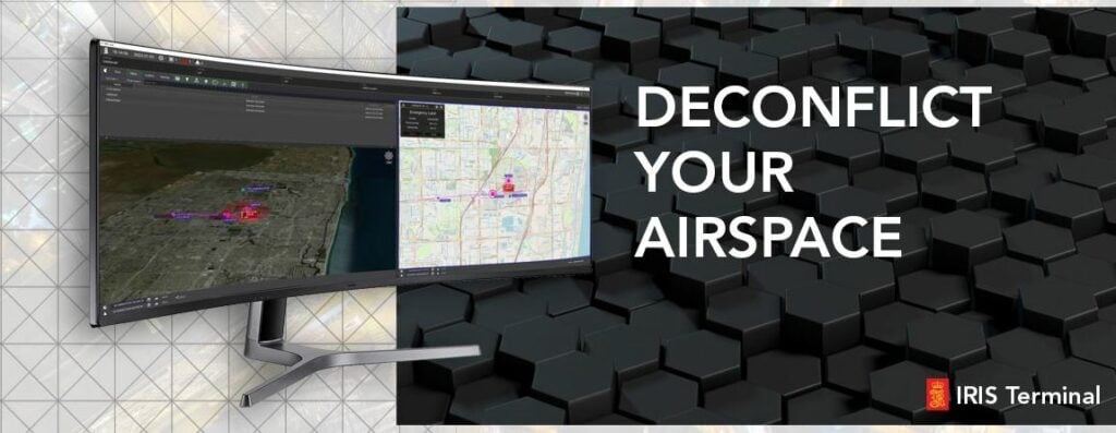
IRIS Terminal is a real-time Airspace visualization platform for Electronic Observers at enterprise UAS operators or UAS test sites.
Utilizing real-time cooperative and non-cooperative data sources such as ADS-B, RADAR, EOIR sensors, TASA sensors and ownship telemetry, IRIS Terminal provides a true picture of the airspace in one 'plane of glass' to the Electronic Observer. Simultaneously our collision avoidance service computes the projected flight path of all detected aircraft and alerts the operator in case of potential airspace conflict or loss of separation. An optional web-based component (IRIS Webviewer) allows operators to share real-time updates of the airspace picture with team members in the field on their LTE enabled tablet or smartphone.
IRIS Terminal is built on the 3-decades-proven backbone of TerraLens, and is used widely in the defense sector as well as in enterprise UAS applications.


