GGS Develops UAV Mapping & Surveying Solutions

By Mike Ball / 12 Mar 2020

Mapping Drones

Discover cutting-edge solutions from 21 leading global suppliers
SUPPLIER SPOTLIGHT
Follow UST

GGS, a leading developer and integrator of systems and solutions for UAS (unmanned aerial system)-based aerial surveying, has partnered with Unmanned Systems Technology (“UST”) to demonstrate their expertise in this field. The ‘Silver’ profile highlights how their state-of-the-art UAVs and high-resolution sensors can be used for professional mapping and surveying missions.

Electric quadcopter drone designed for aerial surveyingThe AeroSpector is an electric quadcopter drone designed for aerial surveying missions with a flight endurance of over 30 minutes. The modular construction is optimized for a payload of up to six kilograms, and the drone can be equipped with both an RGB camera and a LiDAR scanner.

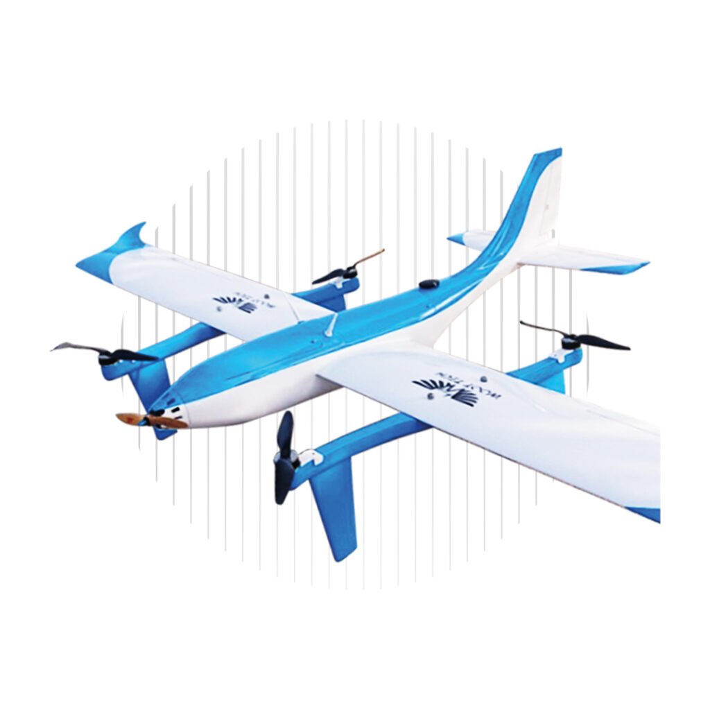
With integrated GPS and RTK, the AeroSpector quadcopter drone can be programmed with waypoints for fully autonomous operation, and features manual intervention capabilities in case of emergency. The system also features a triple-redundant flight controller, parachute and optional sensor payload airbags for maximum safety.

AeroScan LiDAR Sensors for DronesGGS’ AeroScan LiDAR solutions are based on RIEGL airborne laser scanners, and are ideal for rapid, high-accuracy 3D data capture of agricultural assets, forestry sites, urban areas, industrial plants, utilities and infrastructure, and more.

The compact, lightweight sensors are designed for even the most challenging UAV LiDAR surveying missions.

The GGS 5-Band solution for precision agriculture and other red-edge vegetation analysis applications uses three stabilized PhaseOne cameras with direct georeferencing for maximum position and orientation precision. The 5-Band system works with specially modified iX Capture software to provide an efficient, intuitive workflow for generating RGBI, NDVI and CIR images for data analysis.

GGS’ hyperspectral sensors are ideal for drone-based mineral prospecting, precision agriculture, environmental monitoring, security and more. Based on state-of-the-art pushbroom technology, the sensors guarantee simultaneous data capture of multiple parallel spectral bands for precise radiometric data analysis.

Lightweight and robust for UAV operations, the sensors can be combined with the high-resolution RGB AeroCam systems, the AeroTherm ThIR camera, or LiDAR sensors. With AeroTopoL FMS and AeroDiDOS direct referencing, these sensors can form highly flexible turnkey solutions to suit a wide range of mission requirements.

AeroTherm Infrared CameraThe AeroTherm infrared camera supports a variety of thermal radiation monitoring requirements, for missions such as utilities and infrastructure inspection, forest fire management, industrial plan monitoring, and security.

Available with cooled or uncooled sensor, AeroTherm can be fully integrated with AeroTopoL FMS and AeroStab stabilizer family, and is managed by AeroTherm Control software via Firewire, with real-time data control and visualization.

The AeroNav GPS is an entry-level solution providing precise mission navigation and camera control for accurate aerial imagery. Based around smoothed L1 GPS receivers, the AeroNav GPS uses bi-directional RS232 communication to facilitate operations such as aerial camera operation via electronic switch, determining camera event signals on an open collector, and event-based positioning with 0.01 second accuracy.

The AeroNav Vector is a dual-receiver, dual-antenna GPS solution that provides true heading determination for UAVs with a 10 Hz refresh rate. The system is ideal for precision aerial camera operations, including triggering via electronic switch, determining camera event signals on an open collector, and event-based positioning with 0.01 second accuracy.

To find out more about GGS and their solutions for drone-based mapping and surveying, please visit their profile page:
https://www.unmannedsystemstechnology.com/company/ggs-gmbh/

Posted by Mike Ball Mike Ball is our resident technical editor here at Unmanned Systems Technology. Combining his passion for teaching, advanced engineering and all things unmanned, Mike keeps a watchful eye over everything related to the unmanned technical sector. With over 10 years’ experience in the unmanned field and a degree in engineering, Mike’s been heading up our technical team here for the last 8 years. Connect & Contact

Latest Articles

Who to see at Xponential 2025

UnmannedSystemsTechnology.com are thrilled to be working with so many companies attending AUVSI's Xponential this year...

May 12, 2025
GuideNav: Top MEMS IMUs for UAV Flight Control

GuideNav examines MEMS IMU selection for UAV control, comparing accuracy bands and performance levels across consumer, industrial, and military-grade applications

May 12, 2025
Aurora Flight Sciences Advances sUAS Range with New Upgrades

Aurora Flight Sciences has enhanced its SKIRON-X sUAS range to improve flight performance and simplify operation

May 12, 2025
ATL Fuel Bladders for Unmanned Systems to Feature at XPO25

Aero Tec Laboratories (ATL) will present its latest fuel bladder technologies for unmanned systems at XPONENTIAL 2025, highlighting solutions for air, land, and sea

May 12, 2025
uAvionix Unveils Wearable ADS-B Receiver for UAS Operations

uAvionix announces skyAlert, a rugged, wearable ADS-B receiver purpose-built for professional UAS pilots and their visual observers

May 12, 2025
ParaZero Secures European Order for Drone Parachute Safety System

ParaZero receives a significant European order for its SafeAir™ M4 system, highlighting rising demand for advanced drone safety solutions in high-regulation markets

May 12, 2025

Featured Content

New Tactical Grade IMU from Inertial Labs for UAVs & Guided Munitions

Inertial Labs has launched the IMU-H100, a compact, tactical-grade MEMS IMU designed to enhance precision navigation for UAVs and guided systems

May 08, 2025
Geolocation in GPS-Denied Environments Successfully Demonstrated

Trillium Engineering's GD-Loc, integrated with the HD55-MV gimbal on a Group 2 UAS, has successfully demonstrated sustained Category 1 geolocation accuracy within six meters, highlighting its critical advantage for precise ISR missions in GPS-denied environments

May 06, 2025
Spexi + LayerDrone: A New Era of Aerial Intelligence

Imagine a real-time, crowd-sourced map of Earth. Spexi, powered by LayerDrone, pays drone pilots to capture ultra-detailed imagery, offering organizations data that’s faster, cheaper, and more precise than traditional methods

Apr 29, 2025
Advancing Unmanned Systems Through Strategic Collaboration UST works with major OEMs to foster collaboration and increase engagement with SMEs, to accelerate innovation and drive unmanned systems capabilities forward.