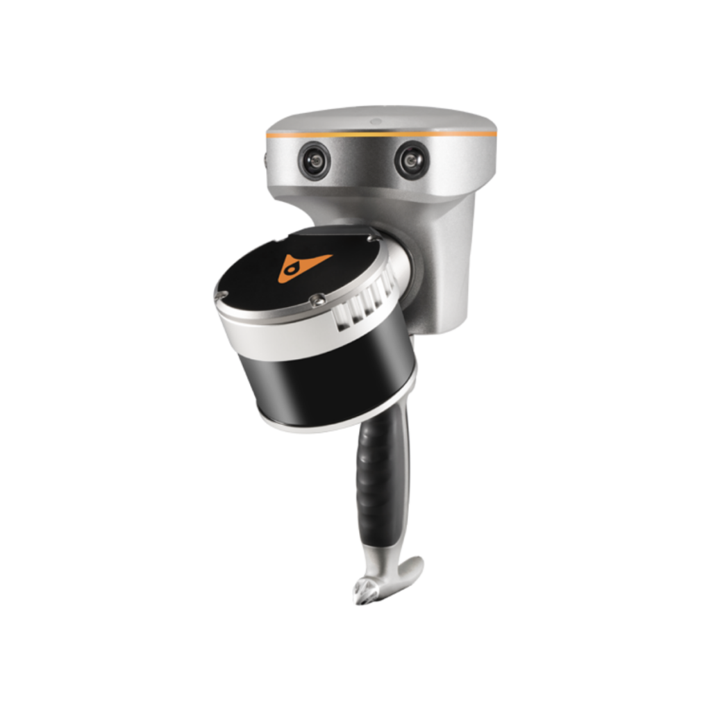
Velodyne Announces New Miniature LiDAR Sensor

By Mike Ball / 09 Jan 2020

Small LiDAR Sensors

Discover cutting-edge solutions from leading global suppliers
SUPPLIER SPOTLIGHT
Follow UST

Velodyne Velabit miniature LiDAR sensor

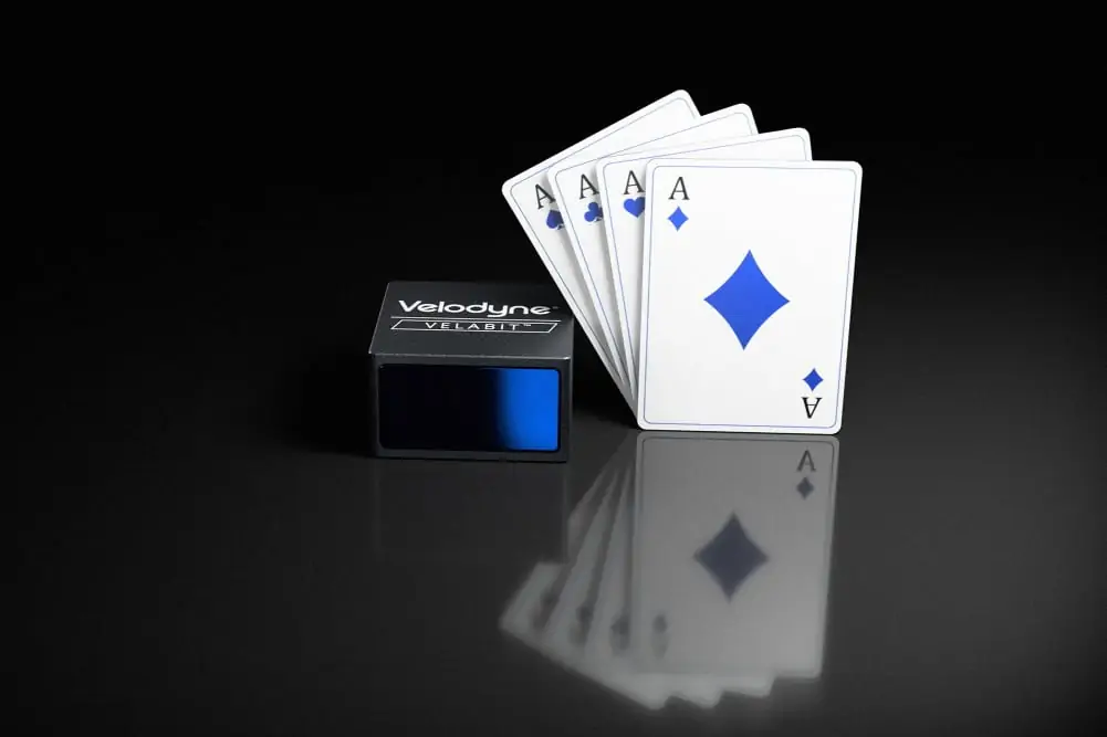
Velodyne Lidar has announced the introduction of Velabit, the company’s smallest sensor designed to be embedded in unmanned aerial vehicles (UAVs), autonomous vehicles and robotics. The sensor is designed to be easily mass-produced and to make high-quality 3D lidar sensing readily accessible to a wide audience.

The Velabit is particularly suited as an automotive-grade lidar solution for Advanced Driver Assistance Systems (ADAS) and autonomous vehicles. It enables robust perception coverage for blind-spot monitoring, cross-traffic detection, automatic emergency braking, and pedestrian and cyclist safety. The highly configurable Velabit can be combined with other Velodyne lidar sensors, such as the Velarray, for higher-speed operation, or function as a standalone lidar solution in low-speed applications.

Features of the Velabit include:

  • Compact size of 2.4″ x 2.4″ x 1.38″
  • Range of up to 100 meters
  • 60-degree horizontal FoV x 10-degree vertical FoV.
  • Proven Class 1 eye-safe 903 nanometer technology
  • Bottom connector with cable length options
  • Multiple manufacturing sources scheduled to be available for qualified production projects

Anand Gopalan, Chief Executive Officer, Velodyne Lidar, commented: “The Velabit democratizes lidar with its ultra-small form factor and its sensor pricing targeted at $100 in high-volume production, making 3D lidar available for all safety-critical applications. Its combination of performance, size and price position the Velabit to drive a quantum leap in the number of lidar-powered applications. The sensor delivers what the industry has been seeking: a breakthrough innovation that can jump-start a new era of autonomous solutions on a global scale.”

Alberto Lacaze, president, Robotic Research, stated: “Before the Velabit there was no suitable small and lightweight lidar for small unmanned aerial vehicles and unmanned ground vehicles performing obstacle avoidance or mapping. Since Robotic Research’s Pegasus Mini is a fully autonomous ground and air vehicle, it requires the Velabit’s size and versatility. In addition, the Velabit enables the most advanced GPS-denied HD mapping in the industry. The Velabit fills a much-needed space in the market and is currently in a class of its own.”

Find manufacturers of LiDAR sensors for unmanned and autonomous applications >>

Posted by Mike Ball Mike Ball is our resident technical editor here at Unmanned Systems Technology. Combining his passion for teaching, advanced engineering and all things unmanned, Mike keeps a watchful eye over everything related to the unmanned technical sector. With over 10 years’ experience in the unmanned field and a degree in engineering, Mike’s been heading up our technical team here for the last 8 years. Connect & Contact

Latest Articles

GA-ASI Spotlights Advanced Uncrewed Systems at Paris 2025

General Atomics Aeronautical Systems is internationally showcasing a full-scale model of the company’s Collaborative Combat Aircraft (CCA) at the Paris Air Show 2025 at Stand B-176, Hall 3

Jun 16, 2025
Cambridge Pixel Collaboration to Advance Police Forces C-UAS Technology

Cambridge Pixel and OpenWorks Engineering are collaborating to deliver adaptable counter-drone systems tailored for European law enforcement agencies

Jun 16, 2025
New Crewed-Uncrewed Teaming Solution for Airborne UAS Control

Airbus Helicopters has launched HTeaming, a modular crewed-uncrewed solution that enables helicopter crews to take full control of UAS while airborne

Jun 16, 2025
Neousys to Present Rugged Embedded Computers for UAVs at Paris Air Show

Neousys Technology and Factory Systemes will showcase IP69K edge AI computers and lightweight AI mission computers for drones and robotics at Paris Air Show 2025

Jun 16, 2025
New Autonomous Robot Streamlines Outdoor Data Collection Tasks

Canadian robotics company Optimotive introduces the IRIS MK2, a rugged autonomous robot built to automate data collection in demanding outdoor environments

Jun 16, 2025
Enhancing Point Cloud Accuracy with YellowScan’s New Smoothing Feature

YellowScan’s new Smoothing feature enhances point cloud data by reducing noise, improving accuracy, and preserving critical details for better geospatial analysis

Jun 16, 2025

Featured Content

MEMS DC Accelerometers from SDI Deliver Superior Performance for Unmanned Systems

SDI's MEMS DC accelerometers offer a robust solution for unmanned aerial, ground, and underwater vehicles, providing precise static and dynamic motion sensing, crucial for autonomous navigation, attitude feedback, and structural monitoring

Jun 12, 2025
Calian GNSS Unveils New Anti-Jamming CRPA with XF+ Filtering

Calian GNSS has introduced the CR8894SXF+, a compact CRPA antenna with in-band null forming and XF+ filtering for resilient GNSS performance in interference-prone environments

Jun 06, 2025
Honeywell Introduces HG3900 Tactical-Grade IMU with Enhanced Sensor Accuracy

Honeywell has introduced the HG3900 IMU, a MEMS-based device with tactical-grade accuracy, offering significant SWaP advantages for precision navigation systems

Jun 05, 2025
Advancing Unmanned Systems Through Strategic Collaboration UST works with major OEMs to foster collaboration and increase engagement with SMEs, to accelerate innovation and drive unmanned systems capabilities forward.