


There is an almost limitless number of possible applications for LiDAR. From highway surveys to coastal erosion monitoring and more, the pointclouds created through LiDAR scanning can be used time and again to make critical project decisions.
However, these decisions can only be made if the pointcloud is clear and accurate. But how do you ensure accuracy?
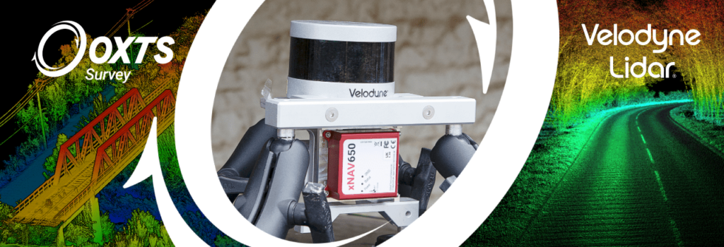
Join Velodyne EMEA Marketing Manager Dieter Gabriel and OxTS Product Engineer Jacob Amacker at 14:00 hrs (BST) on Wednesday, 29th September as they discuss how by using inertial measurements alongside LiDAR sensor data you can enhance the accuracy of your pointclouds.
During the webinar you will learn more about:
- Why inertial measurements are so important for pointcloud accuracy
- From setup to survey: Using an INS with a LiDAR sensor
- The impact on the final results


