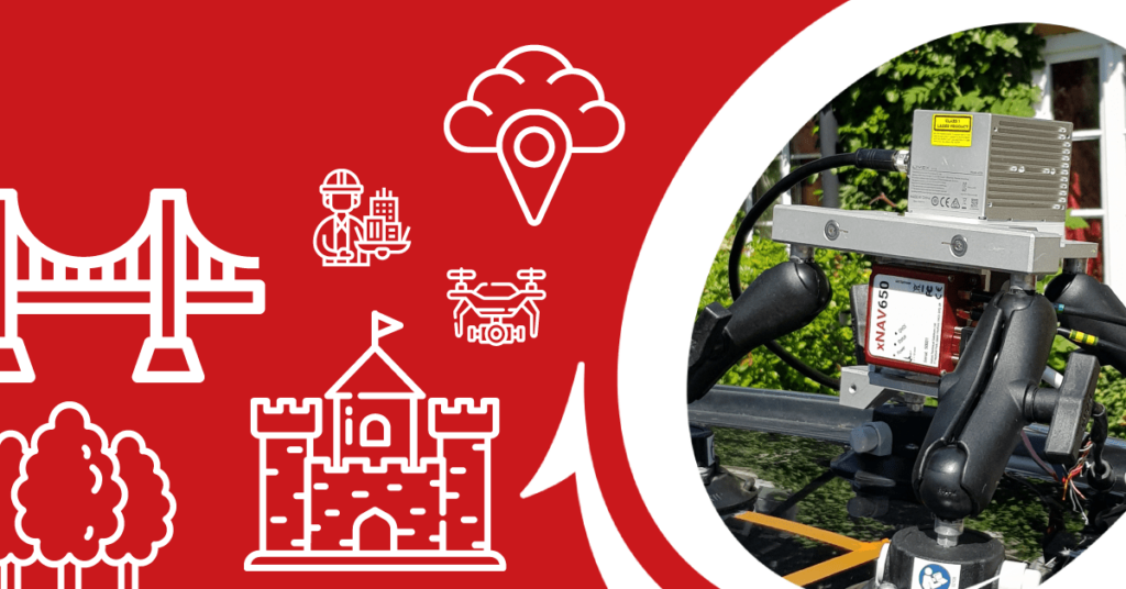
A pointcloud is created when LiDAR data is georeferenced with the position and inertial measurements of an Inertial Navigation System (INS).
There are however, several steps a surveyor must go through before the final pointcloud is produced and there are many factors that can affect its quality.
During this webinar, OxTS Product Engineer Jacob Amacker spoke about the LiDAR survey workflow and covered:
- Choosing the right survey and navigation devices
- How to interface the devices correctly
- Ensuring a precise hardware set up
- Recording and processing data
During the session we also provided example pointcloud data we had collected with various LiDAR sensors and provided tips on creating the highest quality pointcloud possible.


