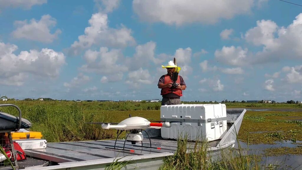
Are you or your company interested in using drone based LiDAR? Microdrones hosted this webinar with Morris P. Hebert Inc. to learn how they increased their corridor mapping productivity from 1 miles/day to 3-4 miles/day while also simplifying the photogrammetry processing in the office and providing a denser LiDAR dataset.
If you missed the webinar you can watch the replay here.
Panelists explain how LiDAR (Light Detecting and Ranging) illuminates the target with a laser, and penetrates through multiple layers, such as a tree canopy, to see all the way to the ground. This makes the technology well-suited for generating 3-D digital terrain models (DTM) in areas with heavy vegetation and rough terrain.
During the webinar, we also examined the differences and benefits of the Microdrones mdLiDAR1000 and mdLiDAR3000.


