How to get the best from your data:

Webinar Details
  • Hosted by
  • September 17, 2020 , 08:00 (UTC)
  • To get the best position and orientation data possible, survey and mapping professionals must pair their LiDAR devices with an INS.

    However, pairing LiDAR and INS devices can, by design, create inaccuracies due to offsets that are difficult to measure without some form of data-driven calibration. Without this calibration these inaccuracies can prove detrimental to your survey run and leave you with a point cloud you cannot deliver to your customer.

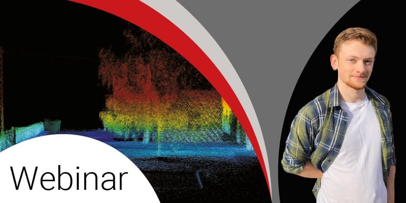
    During this webinar, OxTS Product Engineer, Jacob Amacker will discuss how you can get the best output from your data; providing attendees with a live boresight calibration demonstration and showing you how to create a pointcloud using OxTS Georeferencer.

    During the webinar you will learn:

    • A number of ‘best practises’ to ensure you’re getting the most out of your LiDAR and INS data
    • How to perform a boresight calibration
    • How to create an accurate, geo-referenced pointcloud using OxTS Georeferencer
    • The difference between a boresighted vs unboresighted pointcloud

    This session will be presented live on Thursday 17th September at 14:00 hrs (BST)

    Posted by Oxford Technical Solutions Connect & Contact

    Featured Content

    New UAV to Combine Solar Hydrogen & Battery Power for Extended Flight

    XSun and H3 Dynamics are developing the first UAV powered by solar, hydrogen, and batteries, aiming to deliver zero-emission, long-endurance unmanned flight

    Jul 07, 2025
    Enhancing Mangrove Restoration Through 3D Printed Drone Design

    Explore how Inverto Earth, in collaboration with HP Additive, is using sustainable 3D printing and drone technology to drive large-scale mangrove restoration and protect vulnerable coastal ecosystems

    Jul 03, 2025
    Partnership Combines Drone Swarms & Situational Awareness to Boost Wildfire Response

    Kongsberg Geospatial and FireSwarm Solutions have partnered to integrate autonomous drone swarms with real-time situational awareness for faster, smarter wildfire response

    Jun 30, 2025
    Advancing Unmanned Systems Through Strategic Collaboration UST works with major OEMs to foster collaboration and increase engagement with SMEs, to accelerate innovation and drive unmanned systems capabilities forward.