Drone photogrammetry vs. LIDAR: What sensor to choose for a given application

Webinar Details
  • Hosted by Wingtra
  • March 18, 2021 , 10:00 (UTC)
  • webinar lidar vs photogrammatry

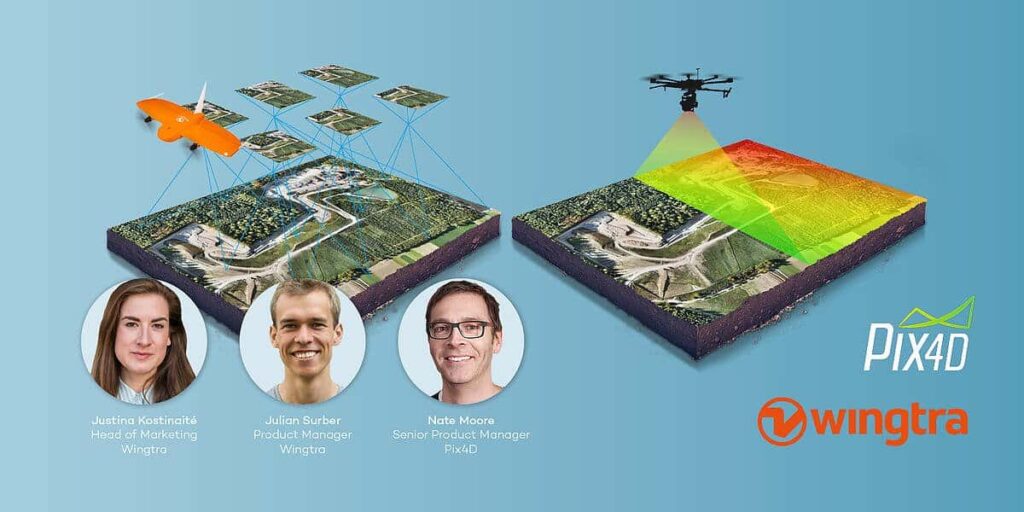
    In drone survey missions, the choice between photogrammetry and LIDAR depends heavily on the exact application. You also need to consider operational factors, such as cost and complexity. Knowing what outputs you really need will help you make the right decision.

    Powered by Pix4D, our partner photogrammetry software company, we will dive deep into the topic and answer as many of your questions as we can.

    Discussed in this webinar:

    • Short WingtraOne drone presentation
    • Data collection with both LIDAR and drone photogrammetry techniques
    • Common prejudices around both technologies
    • Different use cases and our best advice on when to choose which tool
    • Q&A
    Posted by Emma Wilden Connect & Contact

    Featured Content

    Spexi + LayerDrone: A New Era of Aerial Intelligence

    Imagine a real-time, crowd-sourced map of Earth. Spexi, powered by LayerDrone, pays drone pilots to capture ultra-detailed imagery, offering organizations data that’s faster, cheaper, and more precise than traditional methods

    Apr 29, 2025
    Apollo & Moonrock Launch $122.5m Drone, eVTOL Insurance Facility

    Apollo and Moonrock take the lead on new $122.5m drone, eVTOL and aviation innovation insurance facility

    Apr 22, 2025
    ParaZero Unveils Advanced Parachute Recovery System

    ParaZero launches the SafeAir M4, an advanced parachute recovery system designed for the DJI Matrice 4, enhancing drone safety, compliance, and mission readiness

    Apr 17, 2025
    Advancing Unmanned Systems Through Strategic Collaboration UST works with major OEMs to foster collaboration and increase engagement with SMEs, to accelerate innovation and drive unmanned systems capabilities forward.