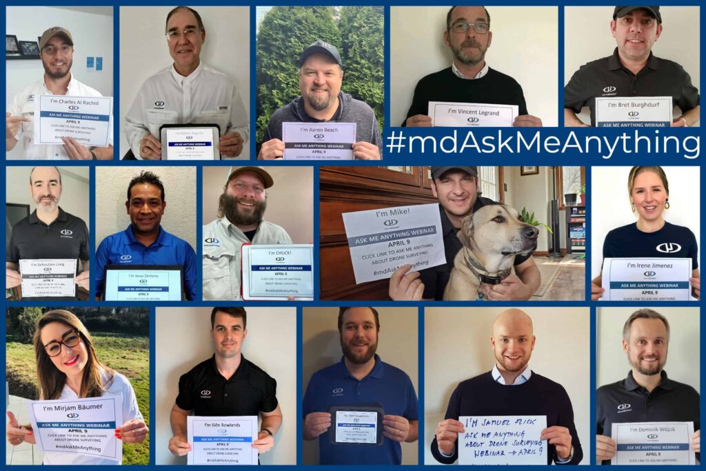
Ask Me Anything Webinar

Webinar Details
  • Hosted by
  • April 10, 2020 - Available on Demand
  • Ask Me Anything Webinar

    Do you have questions about making drones a part of your work? Watch the Ask Me Anything webinar replay for the answers.

    The webinar answered a host of questions from professional users across a range of industries — with questions about drone surveying: best methodologies and practices, how to extract maximum cost efficiency, which systems are suited to which types and scale of jobs, and much more.

    A few examples include:

    • How to incorporate LiDAR in my drone survey? What advantages does it bring? How can I make it economical and cost-efficient? What savings over traditional surveying methods are possible?
    • How accurate is drone surveying over vegetation? Can I survey over quarries if water is present?
    • What is the workflow to cover a site with photogrammetry, generating high-resolution georeferenced photography, from start to finish? How long would it take, given the size of my specific project?
    • Why use a Microdrones integrated survey system? What advantages does it bring over other UAV systems?
    • What accuracy and range can I expect?
    • How should I best go about flight planning?
    • How many ground-control points do I need to set, or should I use direct georeferencing? Based on the specific description of my project.

    Hear the answers to these and many other practical, work-oriented, drone surveying questions in the AskMeAnything webinar replay.

    Posted by Caroline Rees Caroline co-founded Unmanned Systems Technology and has been at the forefront of the business ever since. With a Masters Degree in marketing Caroline has her finger on the pulse of all things unmanned and is committed to showcasing the very latest in unmanned technical innovation. Connect & Contact

    Featured Content

    Calian GNSS Unveils New Anti-Jamming CRPA with XF+ Filtering

    Calian GNSS has introduced the CR8894SXF+, a compact CRPA antenna with in-band null forming and XF+ filtering for resilient GNSS performance in interference-prone environments

    Jun 06, 2025
    Honeywell Introduces HG3900 Tactical-Grade IMU with Enhanced Sensor Accuracy

    Honeywell has introduced the HG3900 IMU, a MEMS-based device with tactical-grade accuracy, offering significant SWaP advantages for precision navigation systems

    Jun 05, 2025
    TEKEVER Invests £400 Million to Advance UK Defense & Drive AI Innovation

    TEKEVER is investing £400 million in UK defense innovation, creating 1,000+ jobs and advancing AI, autonomy, and electronic warfare through its five-year OVERMATCH program

    May 29, 2025
    Advancing Unmanned Systems Through Strategic Collaboration UST works with major OEMs to foster collaboration and increase engagement with SMEs, to accelerate innovation and drive unmanned systems capabilities forward.