Global Aerospace discuss the challenges facing eVTOL innovators in the UTM field, the adoption of advanced flight management systems, and reliance on automation and remotely piloted flight
Sustainability/Urban Air Mobility Update by Global Aerospace
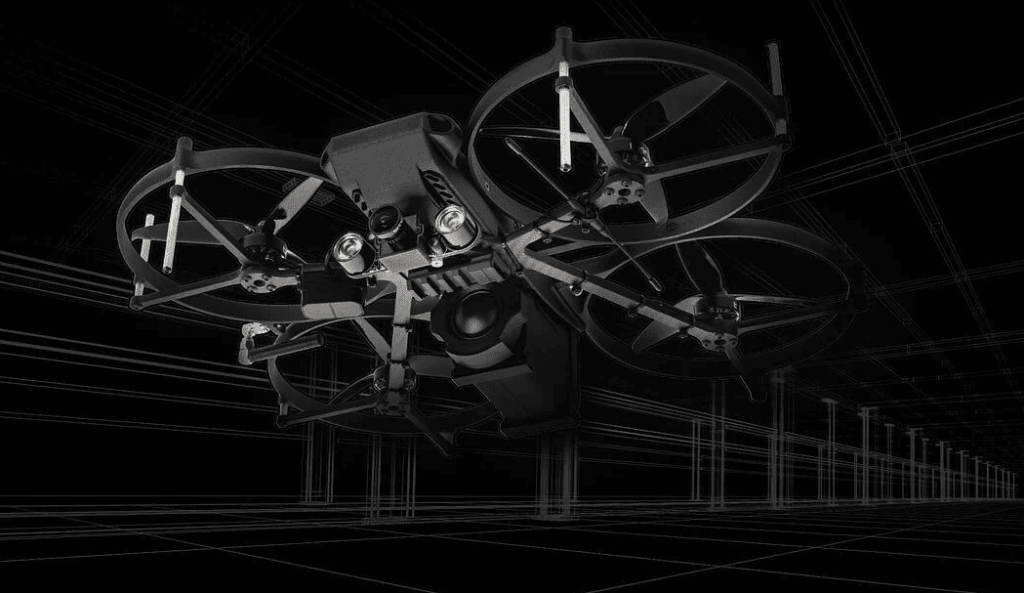
In this article, HD Air Studio explain how their team developed a custom weatherproof drone gimbal for the Sony UMC-R10C industrial camera for overhead power line inspections. In addition to the waterproof camera enclosure, the team developed the gimbal to provide unlimited continuous rotation in the pan axis and an on-board computer provides communication with the gimbal operator.
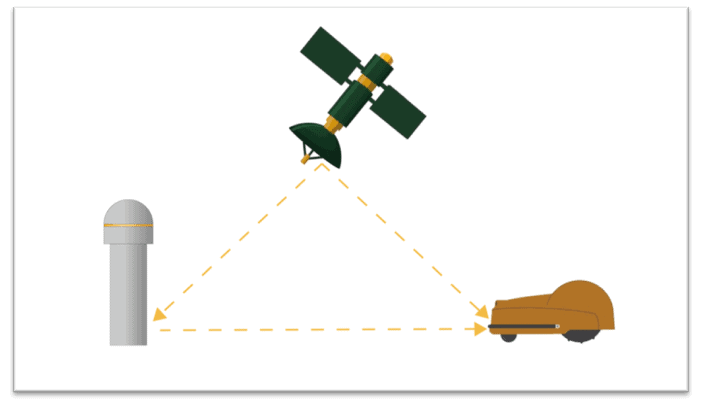
In this article, ComNav Technology explains how its high-precision GNSS positioning solutions enable the automatic and intelligent operation of lawn...
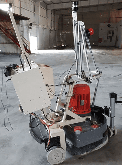
LightWare has released the following article detailing how True Autonomy selected its SF40/C 360 degree scanning LiDAR to automate its ACP-100 concrete...
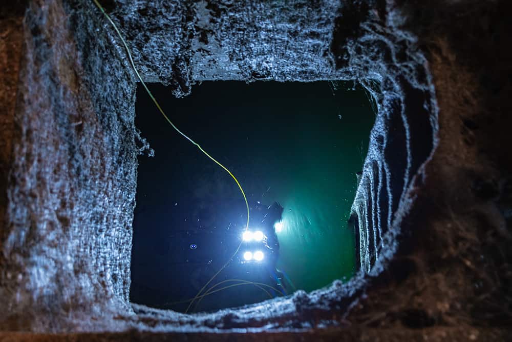
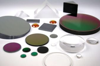
Knight Optical, a leading global supplier of ultra-high-precision optical components for high-spec UAVs and unmanned systems, has released a whitepaper...
Xsens has released an article detailing how to interface their MTi-670/680 GNSS-aided INS (inertial navigation system) with the Septentrio Mosaic-X5...
Advancing Unmanned Systems Through Strategic Collaboration
UST works with major OEMs to foster collaboration and increase engagement with SMEs, to accelerate innovation and drive unmanned systems capabilities forward.