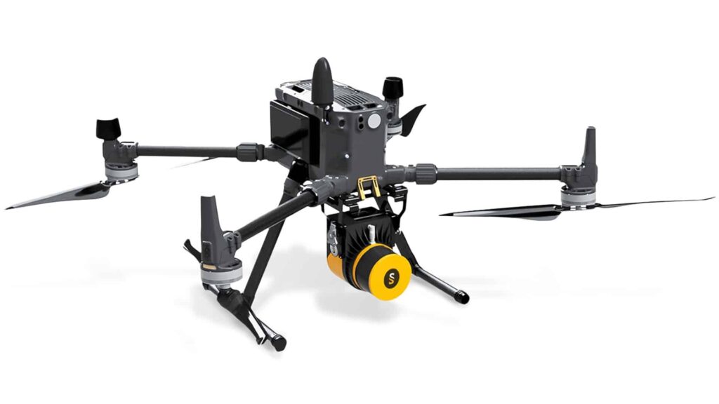
YellowScan has launched the second generation of its Surveyor Ultra LiDAR solution for UAVs (unmanned aerial vehicles). Surveyor Ultra now incorporates the Hesai Technology XT32M2X laser scanner, delivering enhanced pointcloud precision and accuracy.
The YellowScan Surveyor Ultra is a lightweight system suited for high-speed and long-range UAV platforms, including multirotor, fixed-wing and helicopter drones, due to its high-density specifications. With a 360° field of view, the system is also ideal for vertical mapping and mobile mapping applications when combined with YellowScan’s Fly&Drive.
Other upgrades and improvements to the new version of Surveyor Ultra include:
- Improved flight time and and ground coverage (300m+ swathe at 90m AGL) for enhanced productivity
- Higher point density: 250pts/sqm at 50m AGL, 5m/s
- Better vegetation penetration – up to 3 echoes/returns
- Compatibility with DJI M300 and Acecore Technologies Zoe via DJI Skyport and Gremsy T3V3 quick release


