Discover World-Leading Unmanned and Autonomous Technologies
Discover cutting-edge solutions from leading global suppliers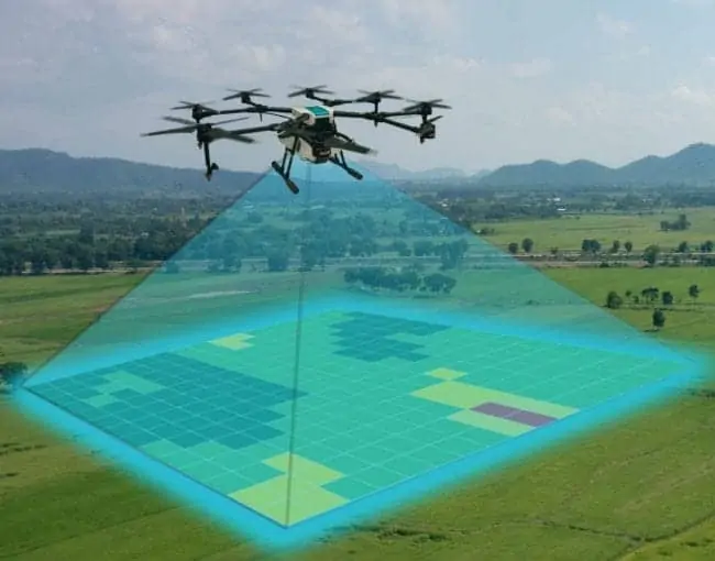
Applanix has announced that it has upgraded its POSPac post-processing software with two significant enhancements aimed at streamlining operations for Unmanned Aerial Vehicle (UAV) mapping and surveying.
The first upgrade adds support for POSPac Trimble Post-Processed CenterPoint RTX correction services when flying drones through Trimble RTX Fast service regions. This Trimble service generates high-accuracy geospatial data within centimeter-level accuracy, without the need for base stations or CORS network data. It is ideal for short-duration UAV mapping and surveying missions due to short initialization times and expedient data output.
The second update is the addition of LiDAR Quality Control (LiDAR QC) Tools for UAVs, a new software module specifically designed to refine the accuracy of UAV LiDAR point cloud data using Inertial Measurement Unit (IMU) boresight calibration and trajectory adjustment. This new capability can be added to a project’s workflow via POSPac’s convenient GUI or its quick batch-processing mode, streamlining project set-up and in-field processes.
Both of these updates aim to simplify surveying logistics and lower project costs through task automation, retaining a high degree of accuracy while collecting, managing, and processing all types of complex data in a short span of time. They allow UAV surveyors to meet multiple project objectives in a variety of applications, such as agriculture, emergency response, and construction.