


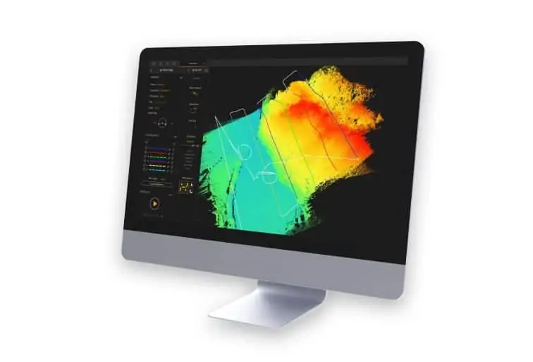
YellowScan, a developer of UAV (unmanned aerial vehicle) LiDAR solutions, has announced the release of its new CloudStation software, which provides a complete solution for the creation and manipulation of point-cloud data. It allows users to extract, process and display data immediately after flight acquisition. The auto-generation of flight lines and the production of LAS files are now done in a few clicks.
“This launch is an exciting move for YellowScan, it allows a better and simplified experience for the customers,” said Tristan Allouis, Chief Technical Officer of YellowScan. “Better user experience leads to more efficiency for our clients’ demanding projects.”
Key business benefits that can be achieved from using CloudStation include:
- Checking the integrity of data in the field
- Verifying area coverage
- Making sure all objects being mapped are identified
- Extracting LAS files with only few clicks, within a few minutes
CloudStation is available with the acquisition of a YellowScan LiDAR solution.


