


Discover World-Leading Unmanned and Autonomous Technologies
Discover cutting-edge solutions from leading global suppliers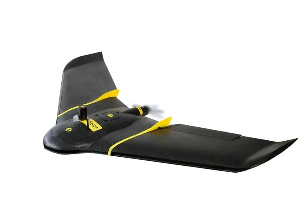
senseFly has announced its new mapping solution senseFly Corridor, a new platform enhancement that vastly simplifies the unmanned aircraft system (UAS) mapping of linear infrastructure and sites. senseFly Corridor will debut at the AUVSI Xponential show in Dallas, Texas.
Corridor mapping is a common task for many geospatial professionals and crucial for the effective planning, design and analysis of linear infrastructure, as well as the monitoring of rivers and coastlines. However, using drones to carry out corridor projects — as an alternative to hiring expensive manned aircraft — can be a relatively complex job that contains some frustrating inefficiencies.
“senseFly Corridor overcomes these hassles, providing a geometrically and logistically efficient method of mapping linear routes,” said Francois Gervaix, senseFly’s lead product manager for surveying. “With senseFly Corridor, commercial operators can easily plan an automated corridor mapping mission, containing one or numerous flights. This release is also future-friendly, as more operators gradually look towards gaining EVLOS and BVLOS permissions.”
“This corridor function is a fantastic development,” said senseFly customer, Marc A. Cañas, GISP, Vice President of National Freight Rail at Jacobs. “The corridor mapping of rail routes is a large part of our activities, so we’re excited about the flight planning efficiencies and time savings this solution will bring.”
senseFly Corridor is a combined hardware and software solution, which is optimised for any eBee Plus drone that carries a senseFly S.O.D.A. photogrammetry camera. It includes: a camera integration kit, which houses the senseFly S.O.D.A. in a longitudinal (portrait) position, and a new corridor mapping ‘mission block’ within senseFly’s eMotion 3 ground station software. This combined approach offers three benefits:
Better ground resolution – A vertical camera position allows operators to fly the eBee Plus closer to the ground, while still achieving the image overlaps their digital outputs require. The result of flying lower is lower ground resolution, of down to 1.5 cm (or 0.6 inches) per pixel.
Fewer images = shorter processing times – Compared to using a normal, landscape-position drone camera, senseFly Corridor can map the same linear route using 30% fewer images. This means 30% shorter image processing times after a flight.
Makes corridor mapping easy – eMotion 3’s Corridor Mapping mission block makes linear mapping jobs easy: load a KML, shape file or background map, define the target corridor (clicking once each time the route changes direction) and specify the corridor width and ground resolution required.
“Our professional mapping clients are looking to be as safe and efficient as possible when planning and executing their eBee flights,” said senseFly distribution partner, Adam Arrington, Vice President & Sales Manager at Earl Dudley Inc. “This new corridor feature provides a cutting-edge planning tool that will reduce processing times, while maintaining a narrow corridor and still producing the highly accurate results our clients demand.”


