Simlat Ltd. has been selected to provide a UAS & ISR Training & Simulation Center for the Northland Imagery Analysis college program. Northland’s Imagery Analysis and Geospatial Intelligence programs are the first of their kind in America.
Developed through a Department of Labor grant, the Imagery Analysis program will be offered tuition free for the life of the grant. The programs will prepare the student to manage the tasking, processing, exploitation, and dissemination (TPED) process, and conduct end-to-end Geospatial Intelligence (GEOINT) operations.
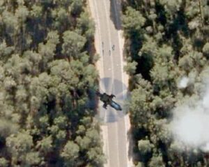
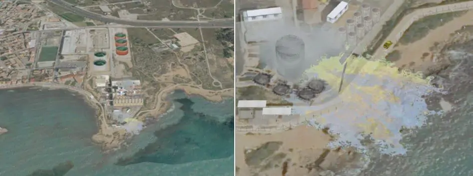
Students will acquire a variety of skills ranging from UAS general knowledge to a precise depiction of the imagery objective. Students receive hands-on training varying from still satellite imagery to Full Motion Video UAS derived imagery. The Training & Simulation Center is equipped with cutting-edge training systems in multiple configurations, allowing simultaneous training of the students on UAS operations and image analysis, in civil, commercial and military environments.
The Training & Simulation classroom includes 26 student stations and is based on variant of Simlat’s IMPACT (ISR Multi-Purpose Advanced Classroom Trainer) product, focused on various GEOINT applications. The IMPACT supports frontal instruction, courses and training activities as well as curriculum planning and development and performance analysis of training sessions.
The IMPACT runs a wide range of mission scenarios, allowing students to familiarize with civil and commercial applications of UAS and Imagery Analysis, such as emergencies, weather, infrastructure monitoring, fire-fighting, HLS and agriculture. The Training center will be delivered fully to Northland by the beginning of 2014.


