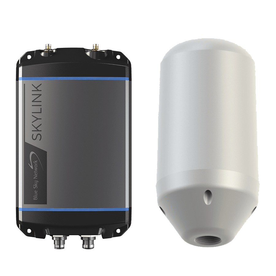
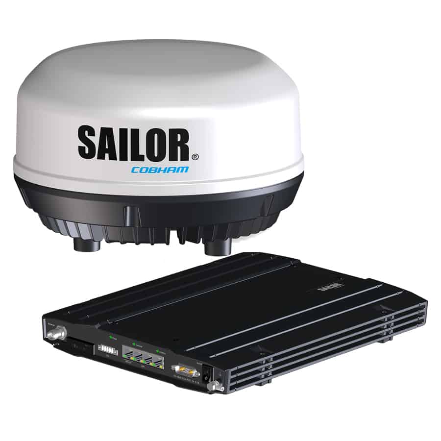
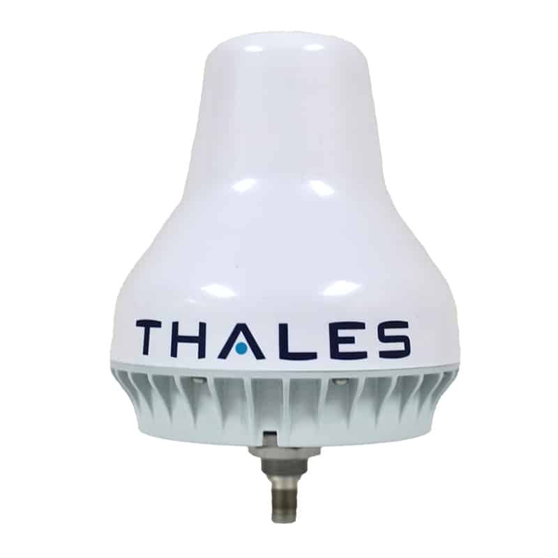
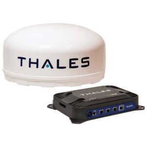
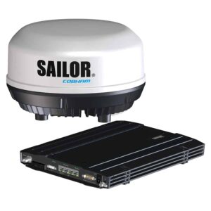
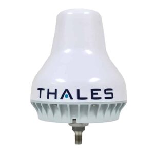
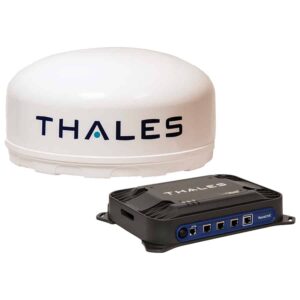
Marine satellite communications involve the transmission of data between sea-based entities and land-based facilities using satellites. Maritime SATCOM is crucial for unmanned and autonomous maritime applications, such as remote-controlled ships and underwater drones. These systems rely on satellite links for real-time navigation, environmental monitoring, and operational commands, ensuring that these vessels can operate efficiently and safely in open waters.
This page showcases leading suppliers of maritime satellite communications systems for USVs, AUVs, offshore vessels, and other unmanned maritime platforms.
If you design, build or supply Marine Satellite Communications, create a profile to showcase your capabilities and connect with visitors who have an active requirement for your solutions.
The Comprehensive Guide to Maritime Satellite Communications Systems
Overview by
Joe Macey
Updated:
Introduction to Marine Satellite Communications Systems
Marine satellite communications, or maritime SATCOM, provides a core engineering pathway for voice, data, safety, and command connectivity across vessels, offshore assets, and unmanned systems operating beyond terrestrial networks. Any modern marine satellite communication system relies on a complex interplay between an onboard terminal, a stabilized or electronically steered antenna, an RF link, a ground gateway, and network routing infrastructure.
At sea, communications engineering is defined by severe constraints including vessel motion, weather, superstructure blockage, and strict regulatory frameworks. For unmanned platforms like Unmanned Surface Vehicles (USVs), the technical requirement becomes especially critical, as they rely on dedicated communication links for maritime drones to support supervisory control, real-time health monitoring, payload tasking, and predictable link-loss recovery.
Key Applications of Maritime SATCOM Across Unmanned Systems
Deploying robust marine satellite communications allows unmanned platforms to maintain operational continuity when line-of-sight radio and cellular networks are unavailable. Advanced vessel SATCOM serves as a critical data conduit for command assurance, payload tasking, safety reporting, and real-time fleet optimization.
Remote Vessel Operations and Autonomous Shipping
Remote vessel operations demand communications architectures built for routine autonomy supervision and timely human intervention via a Remote Operations Center (ROC). Near shore, these platforms utilize cellular, private 5G, or line-of-sight radio, transitioning offshore to specialized maritime satellite communications systems as the primary wide-area network channel where coverage, latency, and mission requirements allow.
Offshore Energy, Wind Farms, and Oil & Gas Connectivity
Offshore oil, gas, and wind installations operate far beyond conventional terrestrial coverage, requiring continuous satellite communications for offshore connectivity to anchor enterprise networks and video monitoring feeds. For unmanned systems operating around offshore assets, edge processing is critical to filter and transmit vital alerts over the marine satellite systems link first, leaving bulk raw data to be recovered post-mission.
Hydrographic Survey and Oceanographic Research
Survey and research vessels operate in the world’s most isolated maritime environments, utilizing dependable ship satellite communications to facilitate adaptive mission planning, weather routing, and the transmission of reduced datasets. On autonomous survey craft, satellite connectivity for maritime nodes enables real-time tracking of data density metrics and quality-control indicators, allowing shore teams to verify that data stays within strict specifications.
Maritime ISR, Border Security, and Naval Operations
Maritime intelligence, surveillance, and reconnaissance relies on persistent wide-area observation, where secure marine satellite communications allow unmanned assets to distribute target detections, imagery, and tracking data to command centers. In defense environments, these communication links for maritime drones must support military-grade encryption and anti-jam architectures, often using protected or dedicated military X-band satellite infrastructure where available.
Search and Rescue Communications
Search and rescue (SAR) operations require immediate alerting, accurate location reporting, and reliable coordination between vessels, aircraft, and Joint Rescue Coordination Centers under the regulatory GMDSS framework. A USV or unmanned aircraft can leverage specialized communication links for maritime drones to relay survivor coordinates, utilizing low-bandwidth text alerts containing precise timestamps that can remain usable even in degraded link conditions.
Fisheries, Aquaculture, and Environmental Monitoring
Vessel SATCOM installations support automated fisheries management, vessel monitoring systems (VMS), catch reporting, and aquaculture site oversight beyond cellular range. The core engineering requirement centers on minimal power consumption and high data reliability via small marine satellite communication systems utilizing duty-cycled transmissions and store-and-forward protocols.
Crew Welfare, Fleet Management, and Enterprise IT
On crewed commercial vessels, satellite bandwidth is split between operational systems and crew welfare, corporate IT, and voyage optimization. While sharing the same physical ship satellite communications infrastructure, a properly engineered maritime satellite communications system implements strict traffic shaping and network segmentation to help ensure that recreational traffic does not degrade navigation or safety links.
Frequency Bands Used Across Maritime Satellite Communications
Selecting the appropriate frequency band dictates antenna geometry, data throughput, weather resilience, and overall operational costs for any ship satellite communications network.
Frequency Band
Frequency Range
Key Engineering Strengths
Key Technical Weaknesses
Primary Unmanned Systems Application
L-Band
1–2 GHz
High weather resilience, small hardware footprint, high motion tolerance.
Severe bandwidth constraints, unsuitable for payload streaming.
Core C2, vital engineering telemetry, and resilient fallback channel.
C-Band
4–8 GHz
High resilience against heavy tropical rain fade, broad global footprints.
Requires large stabilized antennas, often limiting use to larger vessels and fixed offshore assets.
Large autonomous cargo vessels, offshore platforms, and high-capacity fixed maritime links.
X-Band
8–12 GHz
Military spectrum allocation, protected SATCOM options, and compatibility with secure defense networks.
Strict regulatory access controls, costly specialized hardware, and dependence on approved military systems.
Defense-specific USVs and naval assets interfacing with military networks.
Ku-Band
12–18 GHz
Balanced compromise between antenna scale and high data throughput.
Moderate vulnerability to rain fade and demanding antenna tracking requirements on moving vessels.
Medium-to-large commercial survey and asset-security USVs.
Ka-Band
26–40 GHz
High data capacity for cloud integration and dense payload streaming.
High sensitivity to rain fade, requiring precise antenna pointing and active link management.
Advanced remote-inspection craft paired with an L-band fallback link.
Safety, Regulation & Compliance
Operating satellite equipment in international waters requires strict adherence to global safety treaties, radio licensing laws, and evolving autonomous ship frameworks.
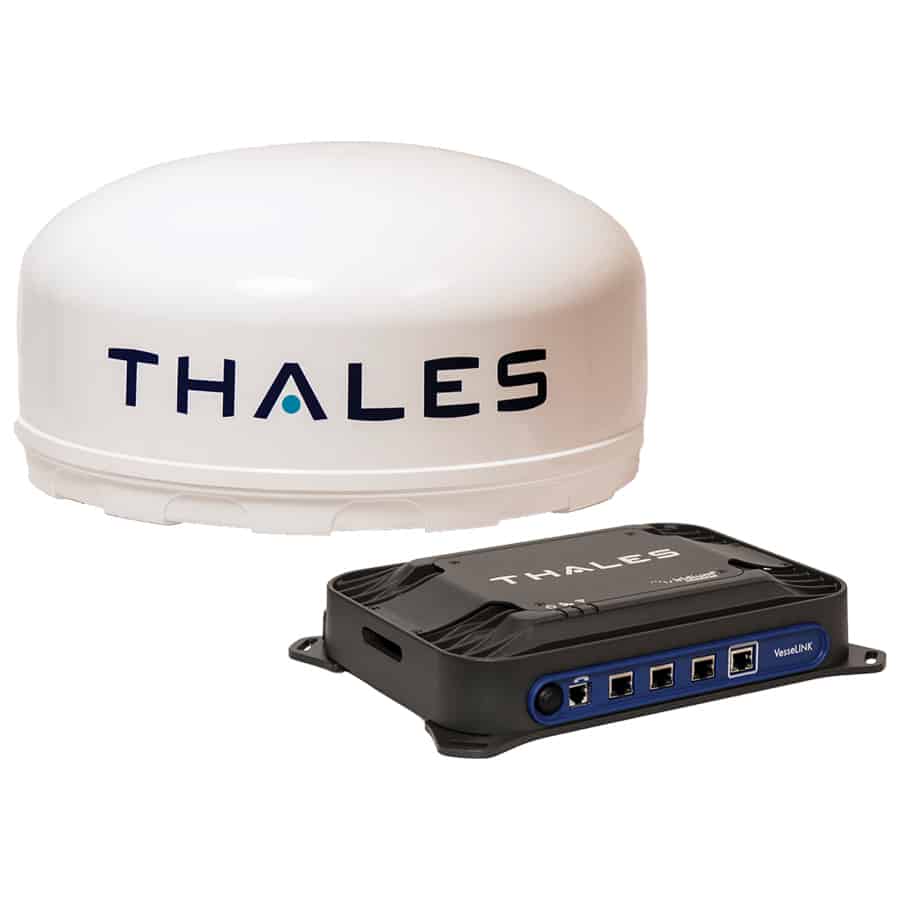
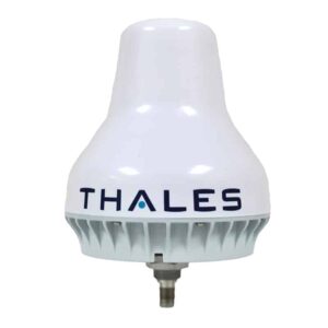
Communication links for maritime drones, Thales VesseLINK 200 marine SATCOM.
Compliance and risk mitigation are evolving rapidly to govern autonomous shipping through several key regulatory frameworks:
GMDSS and Certified Marine Networks: Certified GMDSS terminals must handle legal safety obligations over recognized Inmarsat and Iridium mobile maritime satellite services, while separate high-capacity commercial links manage operational autonomy payloads.
Automated Alerting and Emergency Procedures: Distress alerting and emergency notifications should be systematically integrated into the autonomy stack to relay critical software triggers promptly to maritime authorities over the primary vessel SATCOM framework.
Long-Range Identification and Tracking (LRIT): Qualified vessels must transmit secure position reports through approved LRIT arrangements, with suitable separation from general data networks to help protect tracking integrity.
Ship Security Alert Systems (SSAS): For applicable vessels, onboard marine satellite communication systems should support ship security alert functions that can silently transmit security notifications, increase tracking frequency, restrict remote access, and initiate continuous sensor logging during security events.
Regulatory Cases for Autonomous Systems: The overall ship satellite communications architecture forms a primary pillar of the vessel’s formal Safety Case, requiring documented proof that the communication links for maritime drones include sufficient link redundancy and defined fail-safe logic.
Navigating these intersecting operational and safety regulations is essential for establishing international approval and proving the robust safety case of any beyond-line-of-sight unmanned platform.
Emerging Trends in Marine SATCOM
The maritime industry is transitioning toward integrated, intelligent, multi-bearer network systems that optimize wide-area connectivity.
Next-generation communication frameworks are evolving rapidly to meet the data demands of autonomous fleets through several key technical developments:
Multi-Orbit Hybrid Satellite Solutions Maritime: Hybrid systems combine GEO, MEO, and LEO satellite layers through integrated terminals or managed service architectures to maintain a robust connection baseline across partnering maritime satellite communications providers.
Software-Defined Networks and Intelligent Routing: Onboard SD-WAN controllers continuously measure connection metrics, dynamically steering critical C2 telemetry through the most reliable link while queuing heavy software updates for lower-cost coverage zones near shore.
Next-Generation Phased Arrays for Small Hulls: Micro-phased arrays sourced from specialized marine satellite equipment suppliers allow small, low-SWaP USVs to access higher-capacity data links without jeopardizing vehicle stability.
Convergence with 5G, VDES, and Terrestrial Infrastructure: Fusing satellite links with coastal 5G networks and the VHF Data Exchange System (VDES) creates a more unified digital data channel for standardized e-navigation and safety messaging.
Fusing these distinct communication technologies into a single, unified, and resilient network architecture supports command assurance and operational predictability across the global ocean.
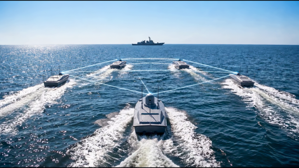
CTech unveils a communications concept combining AquaARX SATCOM Terminal and UfukLink Mini Pro to support remote command and control of coordinated USV swarms.
Ground Control details the role of layered satellite communications and resilient connectivity strategies in supporting safe and manageable offshore USV operations as missions become longer, more complex, and increasingly reliant on continuous offshore communications
Choosing the right maritime SATCOM system is crucial for ensuring safety, efficiency, and connectivity at sea, Iridium examines key options and considerations
Wouter Deknopper, Vice President and Managing Director, Maritime at Iridium Communications, explains how the Iridium Certus multi-service platform can provide reliable connections and critical BVLOS communications for uncrewed and autonomous maritime applications.
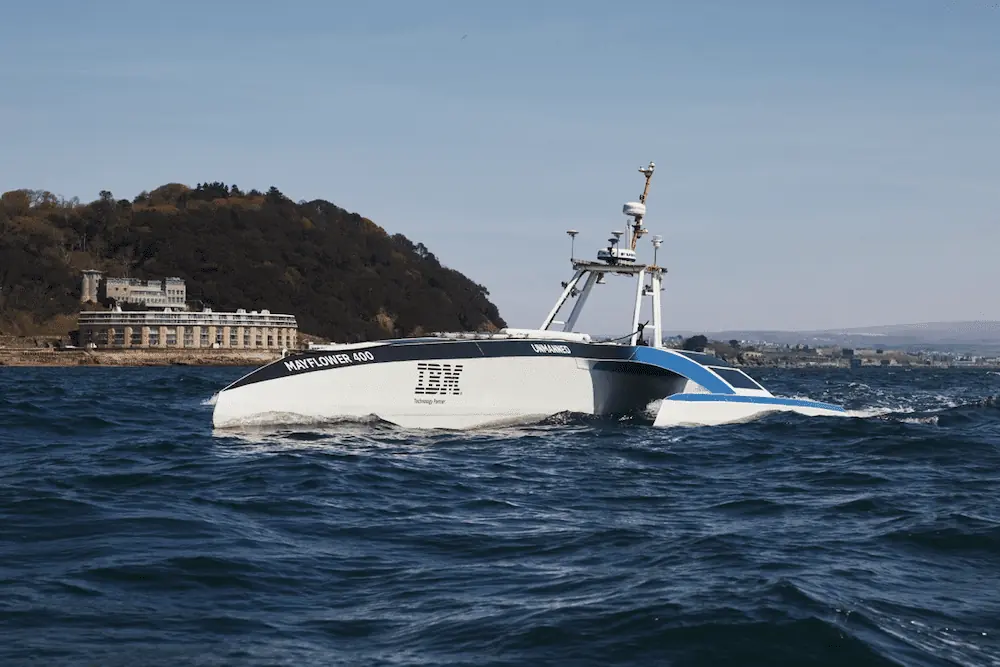
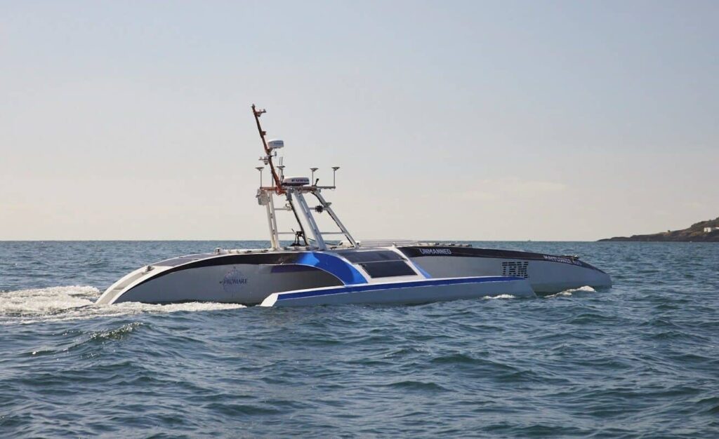
Iridium is providing its Iridium Certus weather-resilient broadband connectivity which can help remotely manage vessel operations aboard the Mayflower Autonomous Ship on its transatlantic crossing
The latest unmanned systems news, straight to your inbox.
Get our weekly roundup of technology developments, new products and industry news.
THANK YOU FOR SIGNING UP
Thanks for joining us. Check your inbox.
We've sent you an email. Click the confirmation link to complete your subscription to the weekly eBrief. In the meantime, explore the latest news, suppliers and technologies on UST.
Advancing Unmanned Systems Through Strategic Collaboration
UST works with major OEMs to foster collaboration and increase engagement with SMEs, to accelerate innovation and drive unmanned systems capabilities forward.