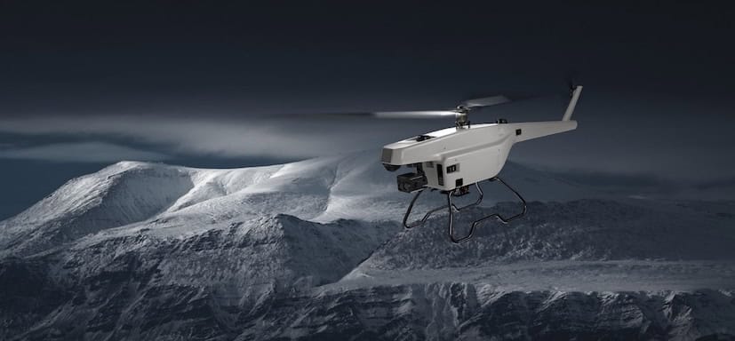
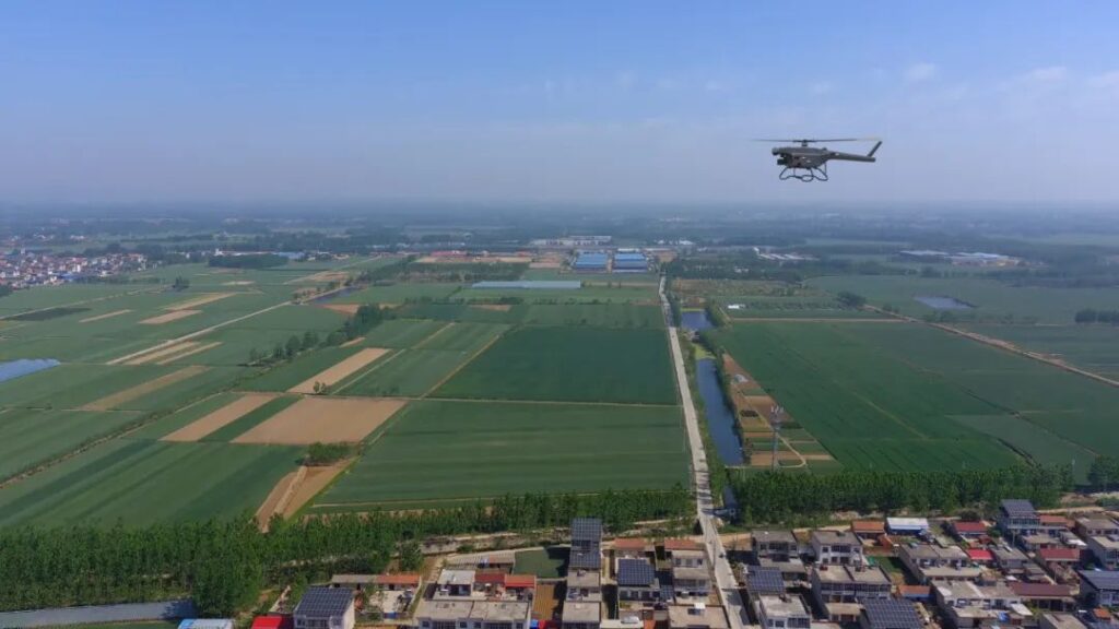
ZIYAN Technology has released a UAV-based Synthetic Aperture Radar (SAR) imaging solution, a radar based system which can be integrated with ZIYAN’s unmanned helicopter platforms to advance modern surveillance and monitoring capabilities.
ZIYAN’s SAR imaging radar solution enables persistent, high-resolution imaging regardless of time or weather. Its advanced synthetic aperture processing delivers detailed imagery, penetrating foliage, soil, and surface obstructions to reveal concealed or subsurface features. This ensures precision monitoring in the most challenging environments.
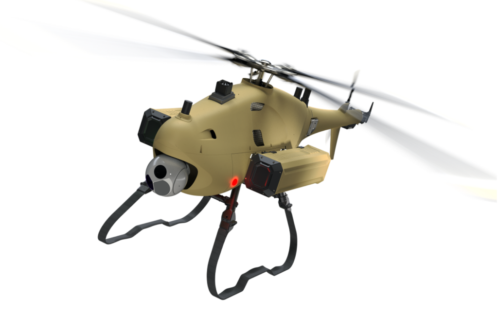
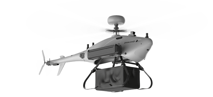
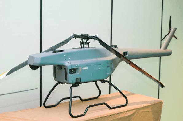
The SAR imaging solution consists of a radar payload and ground control terminal.

The radar payload features an integrated design, including a 2D full phased-array antenna, high-precision inertial measurement unit (IMU), embedded electronics, data and video transmission modules, and a real-time imaging system. A quick-release mounting mechanism allows for seamless installation on ZIYAN UAVs.
The ground control terminal includes a master control computer and a wireless data transmission unit. Its software enables radar operation and data processing through wired and wireless connections. The transmission unit integrates video/data links and network modules for remote control and real-time data acquisition.
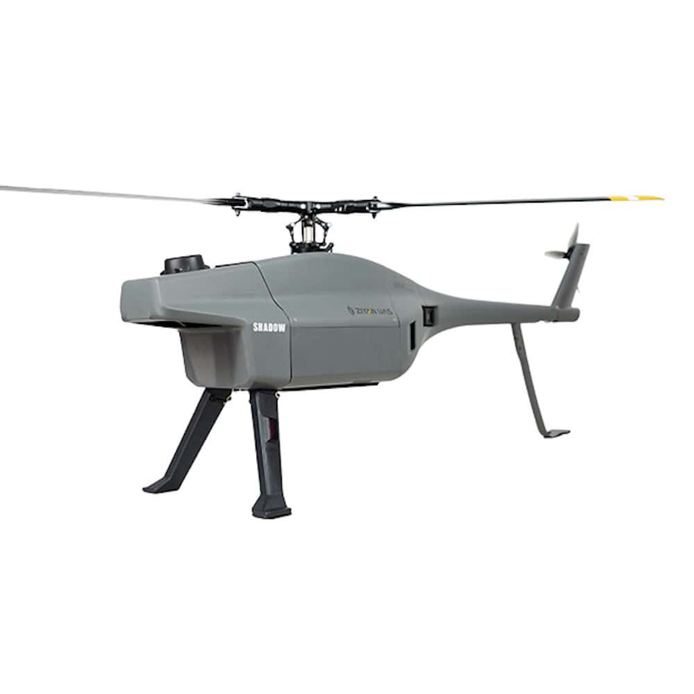
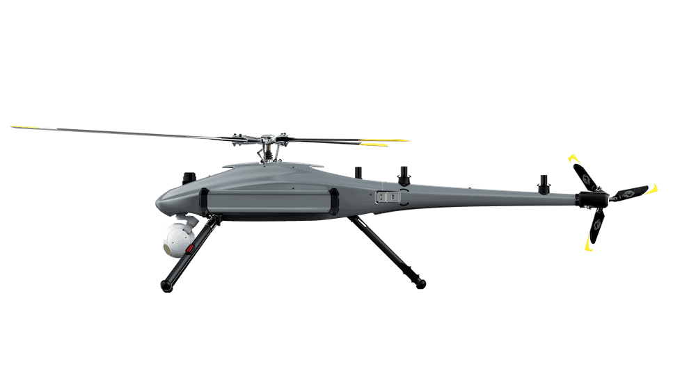
The integrated solution therefore combines unmanned helicopters by ZIYAN, recognized for their high maneuverability, long endurance, and robust environmental resilience, with a modular SAR imaging radar systems.
Multi-Domain Applications
For coastal patrol and maritime domain awareness, ZIYAN’s UAVs provide strong wind resistance and SAR-enabled all-weather monitoring. The system tracks vessel movements in real-time under heavy fog or nighttime conditions. It also aids anomaly detection and early warning for unauthorized incursions, as well as contributing to marine ecology monitoring and search-and-rescue operations.

With extreme weather events becoming more frequent and rapid disaster responses more essential, ZIYAN UAVs with SAR can quickly reach affected areas and provide real-time imagery. During floods, the system maps inundation zones with minute-level responsiveness, aiding emergency command decisions. In geological disasters, SAR imaging reveals terrain features and hazard indicators, offering scientific support for frontline rescue efforts.
During emergency firefighting, SAR can penetrate dense smoke, allowing real-time mapping of burn areas and fireline progression, helping predict fire spread and supporting strategic containment planning.
Also, unlike infrared imaging, which has limited resolution, or optical systems that degrade over distance and at oblique angles, SAR maintains high-resolution imaging regardless of range and is unaffected by smoke, making it ideal for safe, standoff monitoring of wildfires.
Beyond emergency response, SAR imaging radar is set to transform resource exploration, pipeline inspections, and agricultural or forestry monitoring.
The design of ZIYAN’s SAR imaging radar solution therefore addresses the limitations of traditional optical imaging systems, which rely on natural light and struggle in low-visibility conditions such as nighttime, heavy cloud cover, or dense vegetation. Optical sensors also often fail during critical missions, including disaster response in smoke-filled areas or monitoring under extreme weather conditions.
ZIYAN’s UAV SAR technology is advancing intelligent sensing and monitoring systems, expanding the company’s application frontiers.