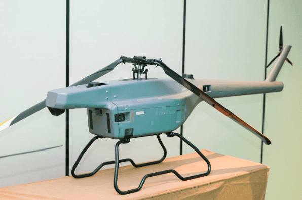
ZIYAN Tech has completed a series of functional and performance trials of its F15 unmanned helicopter, validating the platform’s capability for long-distance power line data acquisition in high-altitude environments.
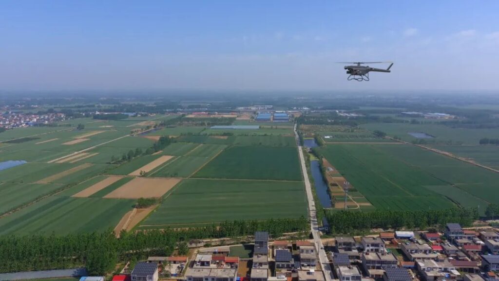
Conducted across Yunnan, China, the campaign addressed persistent inspection challenges associated with steep elevation gradients, rugged terrain, and rapidly changing weather conditions that often restrict conventional Unmanned Aerial Vehicle (UAV) operations.
Field Trials Addressing Multi-Rotor Limitations

The testing route spanned approximately 40 kilometers and was designed to evaluate endurance and data integrity in mountainous regions. Conventional small multi-rotor UAVs typically cover only 3–5 kilometers per sortie, requiring frequent repositioning and battery replacement. These repeated interruptions reduce efficiency and can result in data discontinuity.
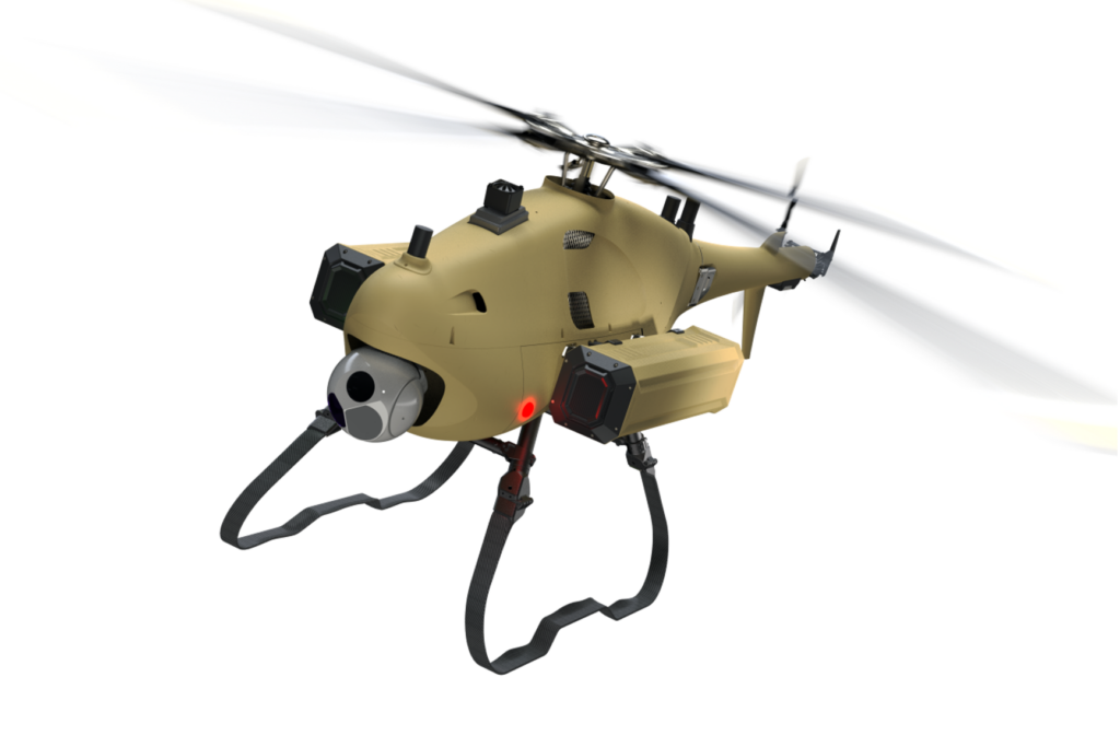
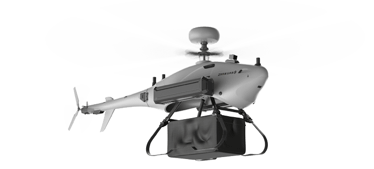
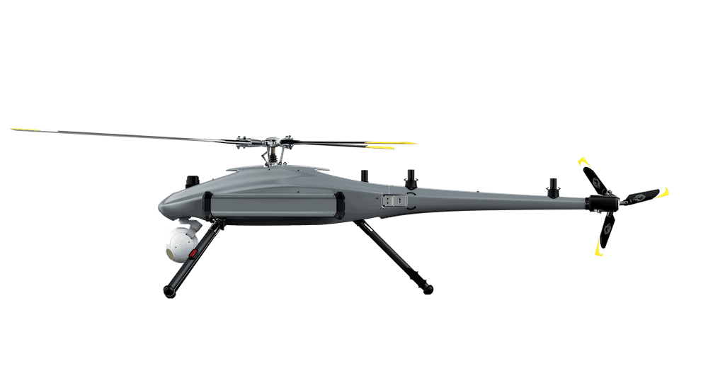
To mitigate these issues during the Yunnan trials, ZIYAN deployed the F15 unmanned helicopter, a platform engineered for extended range and environmental resilience. Integrated with a high-performance LiDAR system and an optimized flight-path planning strategy for grid-based inspection, the aircraft enabled long-range, high-density LiDAR data collection across multi-circuit transmission corridors with varying voltage levels.
Endurance and Stability for Power-Grid Operations
The F15 achieved a maximum flight time of 100 minutes and maintained over 60 minutes of effective operation while carrying a 5 kg LiDAR payload. This allowed single-sortie inspection of 20–30 kilometers of power line, significantly increasing operational efficiency compared with conventional platforms.
The aircraft’s multi-redundant flight-control architecture and reinforced propulsion system supported takeoff and sustained operation in Level-7 wind conditions, with Level-8 wind survivability, while maintaining stable control above 3,000 meters altitude. These characteristics confirm the F15’s suitability for power-grid missions in demanding, high-altitude terrain.
Precision LiDAR Data for Enhanced Analysis
The integrated LiDAR system produced dense point-cloud outputs and high-accuracy imaging throughout the tests. The F15–LiDAR combination enabled:

- High-fidelity 3D reconstruction of transmission corridors
- Rapid identification of structural risks and potential hazards
- Improved inspection efficiency and post-processing accuracy
This capability supports the transition from manual visual inspections to data-driven, intelligence-assisted operations, providing utilities with more consistent and quantifiable inspection data.
Verified Performance Across Yunnan’s High-Altitude Terrain
Testing at elevations from 1,800 to 3,200 meters validated the F15’s performance under dynamic environmental conditions. The aircraft:
- Sustained over 60 minutes of effective flight time per sortie
- Captured 42 kilometers of 3D corridor point-cloud data in a single mission
- Achieved a point-cloud density of 177 points per square meter

Compared with small multi-rotor UAVs, the F15 demonstrated a 36% increase in data quality and a fourfold improvement in efficiency, confirming both its flight stability and precise LiDAR data acquisition in complex terrain.
Advancing Intelligent Inspection Capabilities
The Yunnan test program establishes a validated technical pathway for high-altitude, data-intensive inspection of power infrastructure. By confirming long-endurance performance and LiDAR precision in challenging terrain, ZIYAN has demonstrated the potential for unmanned helicopter platforms to enhance digital and automated inspection workflows across the power-grid sector.
ZIYAN plans to continue collaboration with industry partners to advance the development of intelligent, networked, and automated inspection technologies for future power and utility applications.