


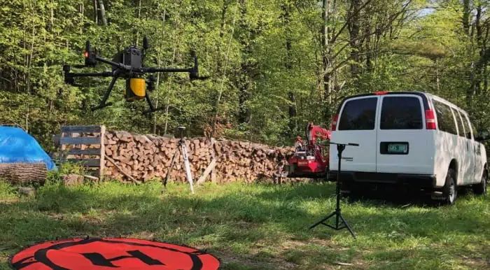
YellowScan has released a case study detailing how its Mapper drone LiDAR sensor has been used to quantify the effects of climate change by documenting tree damage caused by the caterpillar of the gypsy moth, an invasive species that can devastate forest canopies.
Read the full case study on YellowScan’s website
The case study includes:
- Photographic and point cloud data of an infested zone of forest in Vermont
- Details of the drone solution, which consisted of a DJI Matrice 300 and the YellowScan Mapper, and the outputs generated
- Advantages of the YellowScan Mapper LiDAR sensor for data capture in forest environments
To find out more about drone-based LiDAR scanning for forestry management and climate change data capture, read the full case study on YellowScan’s website.


